La Sauvetat-sur-Lède

Log in to your account

AroundUs is a community-driven map of interesting places, built by curious explorers like you. It grows with every review, story, and photo you share.
Connect to save your favorite spots, contribute locations, and create personalized routes.
Continue with Google
Continue with Apple
Continue with X
Continue with Facebook
Continue with email
By continuing, you accept our Terms and Conditions and our Privacy Policy
Create an account
Add to collection
Map
Suggest a change
Share

La Sauvetat-sur-Lède, Medieval commune in Lot-et-Garonne, France.

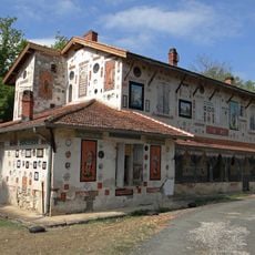
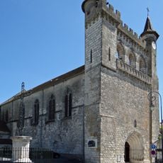
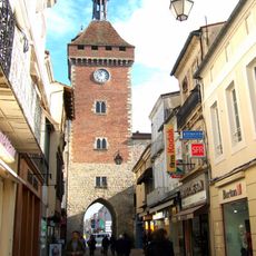
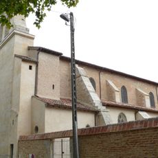
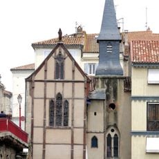
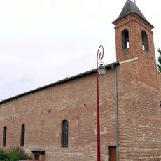
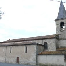
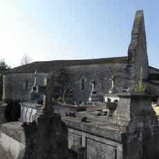
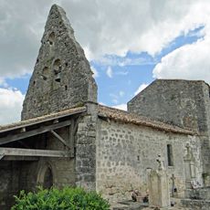
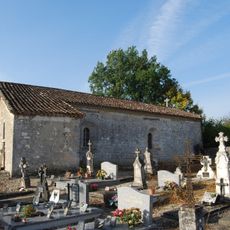
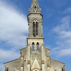
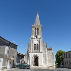
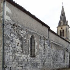
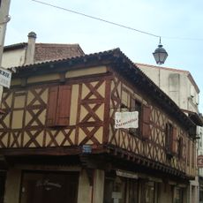
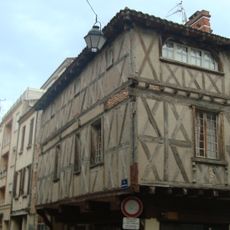
La Sauvetat-sur-Lède is a village in the Lot-et-Garonne region of southwestern France, situated among rolling hills and neighboring settlements. The village center contains typical French buildings and a church that form the heart of the community.

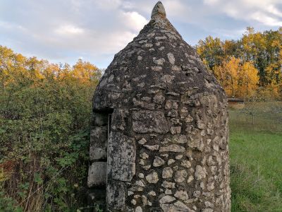
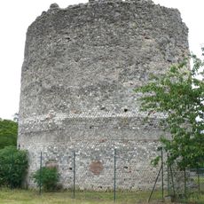
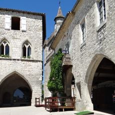
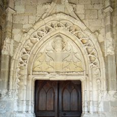
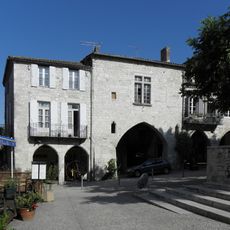
The village was founded in medieval times as a refuge, as its name suggests, and developed as part of the region's history under French rule. The Château Saint-Sulpice, built in the 17th century and reshaped in the early 19th century, reflects the construction phases of the area.

The name reflects the place's past as a refuge, and this heritage remains part of how residents understand their community today. Local gatherings and celebrations keep these connections alive and give the village its social rhythm.

The village is small and walkable, with most services and community places located in or near the center. To find local information or handle administrative matters, explore the village core where main facilities are clustered together.

The village grows slowly but steadily, which is unusual for a small French settlement and shows it remains attractive to newcomers. This pattern sets it apart from many other rural communities that have lost residents over the years.

Location: canton of Monflanquin

Location: Lot-et-Garonne

Location: arrondissement of Villeneuve-sur-Lot

Elevation above the sea: 80 m

Industry: administration publique générale

Shares border with: Monflanquin, Castelnaud-de-Gratecambe, Villeneuve-sur-Lot

Address: 47150 La Sauvetat-sur-Lède, France

Phone: +33553419188

Email: lasauvetat.mairie@free.fr

GPS coordinates: 44.47010,0.73011

Latest update: December 14, 2025 13:02

Photos
Reviews

Visited this place? Tap the stars to rate it and share your experience / photos with the community! Try now! You can cancel it anytime.

« La Sauvetat-sur-Lède - Medieval commune in Lot-et-Garonne, France » is provided by Around Us (aroundus.com). Images and texts are derived from Wikimedia project under a Creative Commons license. You are allowed to copy, distribute, and modify copies of this page, under the conditions set by the license, as long as this note is clearly visible.

Discover hidden gems everywhere you go!

From secret cafés to breathtaking viewpoints, skip the crowded tourist spots and find places that match your style. Our app makes it easy with voice search, smart filtering, route optimization, and insider tips from travelers worldwide. Download now for the complete mobile experience.

Around Us App Screenshot

A unique approach to discovering new places

Le Figaro

All the places worth exploring

France Info

A tailor-made excursion in just a few clicks

20 Minutes