
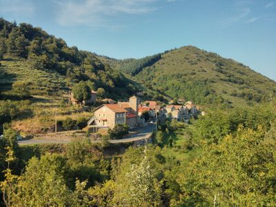
Le Chambon, commune in Ardèche, France
Location: Ardèche
Location: arrondissement of Tournon-sur-Rhône
Elevation above the sea: 990 m
Shares border with: , Lachamp-Raphaël, Mézilhac, Saint-Andéol-de-Fourchades
Phone: +33475290028
Email: mairie.le.chambon@orange.fr
Website: http://le-chambon-ardeche.fr
GPS coordinates: 44.83694,4.30583
Latest update: June 14, 2025 23:45
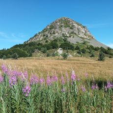
Mont Gerbier de Jonc
6.8 km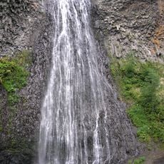
Cascade du Ray-Pic
5.8 km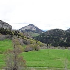
Suc de Sara
7.8 km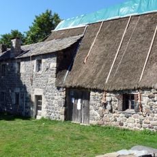
Ferme de Clastres
9.7 km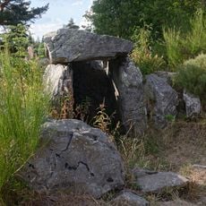
Dolmen des Baumes
7.7 km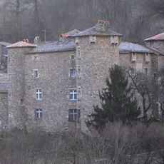
Château de la Motte
9.5 km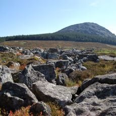
Suc de la Lauzière
10.6 km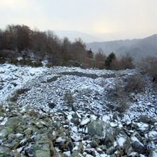
Oppidum de la Fare
3.4 km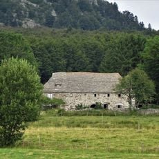
Ferme Rudel
10.2 km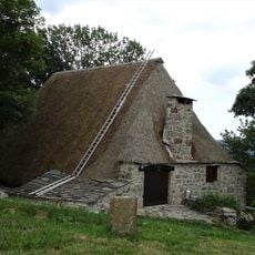
Ferme Pra-Plot
6.8 km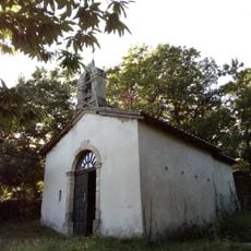
Prieuré de Belvezet
11.5 km
Ferme La Grangeasse
8.9 km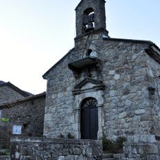
Église Saint-Régis de Péreyres
7.8 km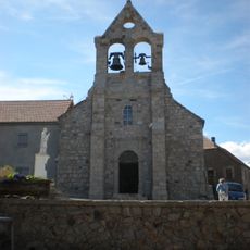
Église Saint-Julien de Lachamp-Raphaël
3.2 km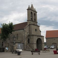
Église Saint-Gilles de Mézilhac
4.9 km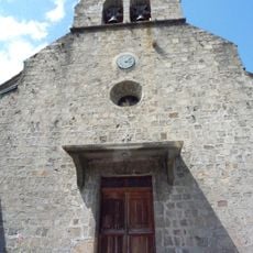
Église Saint-Julien de Marcols-les-Eaux
8 km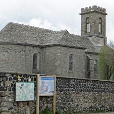
Église Saint-Robert de Sagnes-et-Goudoulet
8.2 km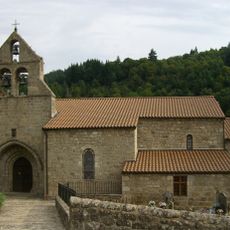
Église Saint-Étienne de Mariac
7.8 km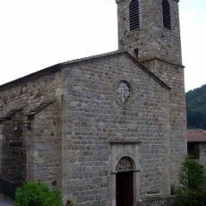
Église Saint-Étienne de Pont-de-Fromentières
6.9 km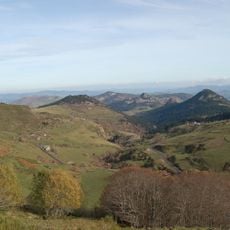
Monts d’Ardèche Global Geopark
10.7 km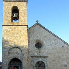
Église Sainte-Eulalie de Sainte-Eulalie
9.7 km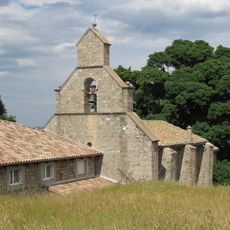
Église Saint-Genest de Saint-Genest-Lachamp
9.3 km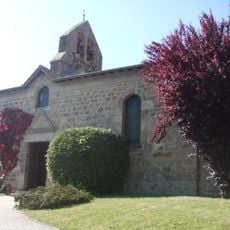
Église Saint-Pierre-et-Saint-Paul d'Accons
8.4 km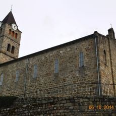
Église Saint-Michel d'Arcens
7.5 km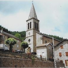
Église Saint-Martial de Saint-Martial
4.1 km
Temple protestant d'Albon-d'Ardèche
9.9 km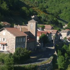
Église Notre-Dame du Chambon
198 m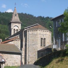
Église Saint-Vincent de Dornas
4.1 kmVisited this place? Tap the stars to rate it and share your experience / photos with the community! Try now! You can cancel it anytime.
Discover hidden gems everywhere you go!
From secret cafés to breathtaking viewpoints, skip the crowded tourist spots and find places that match your style. Our app makes it easy with voice search, smart filtering, route optimization, and insider tips from travelers worldwide. Download now for the complete mobile experience.

A unique approach to discovering new places❞
— Le Figaro
All the places worth exploring❞
— France Info
A tailor-made excursion in just a few clicks❞
— 20 Minutes