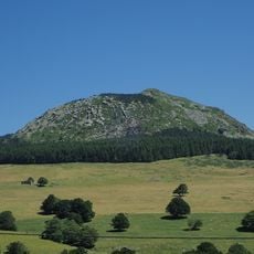
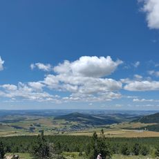
Mont Gerbier de Jonc, Volcanic mountain peak in Ardèche, France
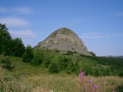
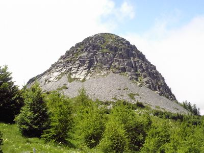
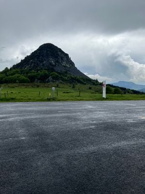
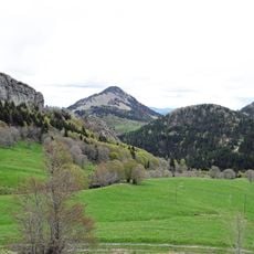
Mont Gerbier de Jonc is a volcanic mountain peak in Ardèche featuring distinctive columnar phonolite rock formations that rise steeply from the surrounding landscape. The summit reaches about 1,551 meters (5,089 feet) and displays geometric hexagonal patterns across its stone faces created by the cooling of ancient lava.
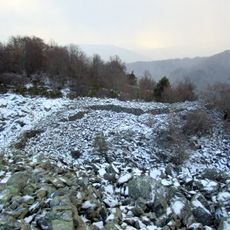
The mountain formed through volcanic activity approximately 8 million years ago when thick lava created a dome within an ancient volcano's crater. Over time, erosion wore away the surrounding landscape, leaving this harder phonolite rock standing as a prominent landmark in the region.
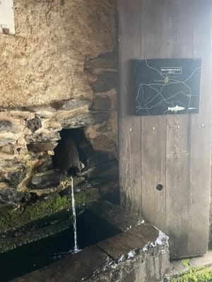
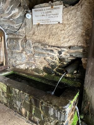
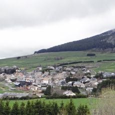
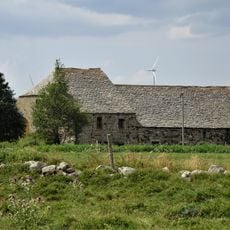
Three springs emerge at the base of the mountain marking the source of the Loire River, a waterway deeply rooted in French identity and regional life. This spot has long held symbolic meaning as the birthplace of one of the country's most important rivers.
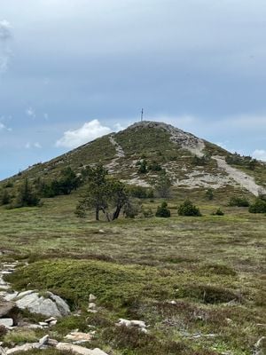
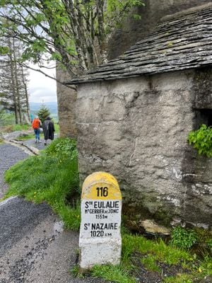
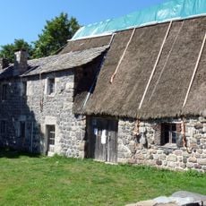
The mountain is accessible via marked trails of varying difficulty, with the main route taking around 90 minutes to reach the summit. Visitors should expect changeable weather at altitude and wear sturdy footwear since paths are rocky and can be steep in places.
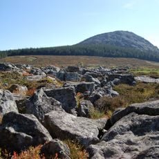
As the ancient lava cooled, it naturally formed hexagonal columnar patterns in the phonolite rock, creating geometric shapes that look almost sculpted by hand. This cooling process produces vertical joints that fracture the stone into neat, architectural-like columns rarely seen elsewhere.
Location: Ardèche
Elevation above the sea: 1,551 m
Made from material: phonolite
Address: Mont Gerbier de Jonc, 07310 Saint-Martial, France
GPS coordinates: 44.84388,4.21986
Latest update: January 25, 2026 18:56
The Ardèche combines natural formations with centuries of human settlement. This southeastern French département stretches from the volcanic heights of the Cévennes to deeply carved limestone gorges along the river of the same name. The Pont d'Arc, a 197-foot (60-meter) natural stone arch, marks the...
Cascade du Ray-Pic
6.9 km
Mont d'Alambre
9.7 km
Chartreuse de Bonnefoy
4.5 km
Suc de Sara
3.3 km
Lugik Parc
8.7 km
Suc de Montfol
4.8 km
Ferme de Clastres
4.5 km
Dolmen des Baumes
7.7 km
Suc de la Lauzière
3.8 km
Oppidum de la Fare
8.6 km
Ferme Rudel
4.1 km
Ferme Pra-Plot
6.1 km
Ferme La Grangeasse
4.9 km
Ferme Reynaud
7.1 km
Mont Mézenc
8.2 km
Église Saint-Régis de Péreyres
8 km
Église Saint-Julien de Lachamp-Raphaël
6.8 km
Le ventographe
8.4 km
Église Saint-Philibert des Estables
8.5 km
Église Saint-Robert de Sagnes-et-Goudoulet
6 km
Église Sainte-Eulalie de Sainte-Eulalie
4.5 km
Église Saint-Martial de Saint-Martial
5 km
Église Notre-Dame du Chambon
6.7 km
Église Saint-Andéol de Saint-Andéol-de-Fourchades
6.2 km
Église Saint-Pierre du Béage
8.1 km
Chapelle de la chartreuse de Bonnefoy
4.5 km
Église Saint-Blaise d'Usclades
9 kmReal people, real opinions — but not verified.
Visited this place? Tap the stars to rate it and share your experience / photos with the community! Try now! You can cancel it anytime.
The source of the Loire: born in a wild area, it keeps its character throughout its journey.
Discover hidden gems everywhere you go!
From secret cafés to breathtaking viewpoints, skip the crowded tourist spots and find places that match your style. Our app makes it easy with voice search, smart filtering, route optimization, and insider tips from travelers worldwide. Download now for the complete mobile experience.
A unique approach to discovering new places❞
— Le Figaro
All the places worth exploring❞
— France Info
A tailor-made excursion in just a few clicks❞
— 20 Minutes
