Ardèche

Log in to your account

AroundUs is a community-driven map of interesting places, built by curious explorers like you. It grows with every review, story, and photo you share.
Connect to save your favorite spots, contribute locations, and create personalized routes.
By continuing, you accept our Terms and Conditions and our Privacy Policy
Add to collection
Map
Suggest a change
Share

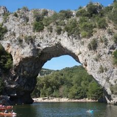
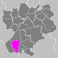
Ardèche, Department in Auvergne-Rhône-Alpes, France

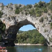
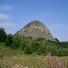
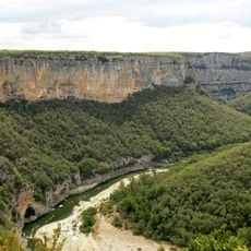
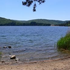
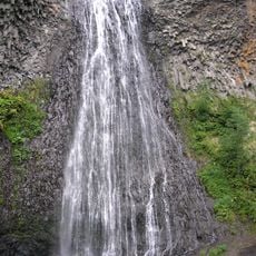
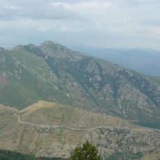
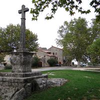
This administrative division sits in southeastern France, stretching between the Rhône valley to the east and the Massif Central highlands to the west. The terrain ranges from river banks and lava plateaus to forests of oak and chestnut that shape the landscape.

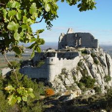
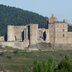
The area became a separate administrative unit in March 1790 during the French Revolution, when older provinces were reorganized. Earlier settlements stretch back to Roman times, with trade routes following the course of rivers.

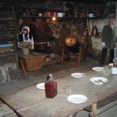
The area celebrates traditional chestnut festivals, and weekly markets feature farmers selling local products like goat cheese and cured meats. Cooking often includes chestnuts, mushrooms, and herbs gathered from wooded hillsides, ingredients that have supported the regional diet for generations.

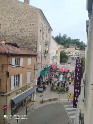
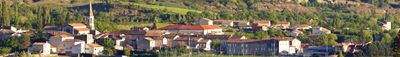
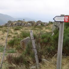
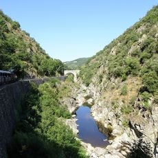
Travelers find smaller towns as bases for hiking, driving along gorges, or visiting old hill villages. Roads are often winding, and during high summer it helps to start early or plan activities for late afternoon.

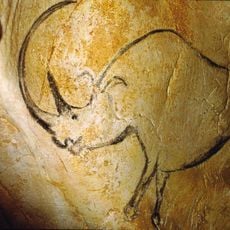
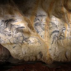
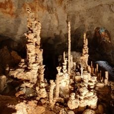
The oldest known cave paintings in Europe lie inside a grotto here, showing animal depictions created roughly thirty thousand years ago. Access to the original cave is restricted, but a full replica allows visitors to view the artworks.

Location: Auvergne-Rhône-Alpes

Location: France

Inception: March 4, 1790

Capital city: Privas

Reference: 07

Shares border with: Loire, Haute-Loire, Lozère, Gard, Vaucluse, Drôme, Isère

Address: Ardèche, France

Website: http://ardeche.fr

GPS coordinates: 44.66667,4.41667

Latest update: December 14, 2025 23:54

Photos
Wild Ardèche: between nature, ancient stones, and heritage

The Ardèche combines natural formations with centuries of human settlement. This southeastern French département stretches from the volcanic heights of the Cévennes to deeply carved limestone gorges along the river of the same name. The Pont d'Arc, a 197-foot (60-meter) natural stone arch, marks the...

Reviews

Visited this place? Tap the stars to rate it and share your experience / photos with the community! Try now! You can cancel it anytime.

« Ardèche - Department in Auvergne-Rhône-Alpes, France » is provided by Around Us (aroundus.com). Images and texts are derived from Wikimedia project under a Creative Commons license. You are allowed to copy, distribute, and modify copies of this page, under the conditions set by the license, as long as this note is clearly visible.

Discover hidden gems everywhere you go!

From secret cafés to breathtaking viewpoints, skip the crowded tourist spots and find places that match your style. Our app makes it easy with voice search, smart filtering, route optimization, and insider tips from travelers worldwide. Download now for the complete mobile experience.

Around Us App Screenshot

A unique approach to discovering new places

Le Figaro

All the places worth exploring

France Info

A tailor-made excursion in just a few clicks

20 Minutes