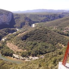
Gorges de l'Ardèche, Limestone canyon in Ardèche, France
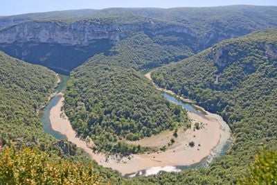
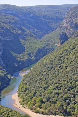
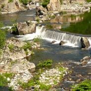
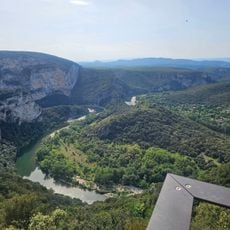
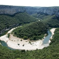
The Gorges de l'Ardèche form a roughly 30-kilometre canyon cut by the Ardèche river through a limestone plateau, from the Pont d'Arc at Vallon-Pont-d'Arc to Saint-Martin-d'Ardèche. The river drops from 80 to 45 metres above sea level, winding between pale grey and tan cliff walls; a broad sand and gravel bank lies inside one of the bends. The Pont d'Arc arch is 59 metres long and 54 metres high.
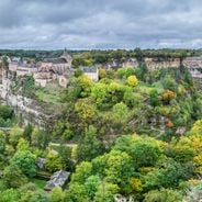
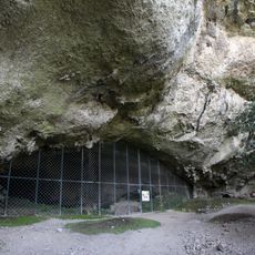
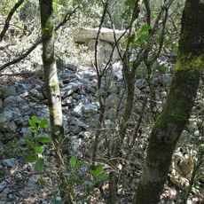
Human presence in the lower Ardèche is documented by 800 dolmens, one of France's main prehistoric megalithic areas, and by painted caves of Cro-Magnon people. The Madeleine priory was founded in the 11th century on the cirque of the same name, near the Templiers meander. The Cassini map still showed part of the gorges as a straight line, and until the 1960s no road crossed them: goods moved by flat boat between Chames and Sauze.
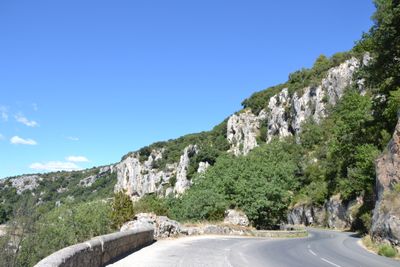
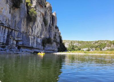
The name comes from the Ardèche river, which cuts the gorge between Vallon-Pont-d'Arc and Saint-Martin-d'Ardèche. Since the 1960s the descent by canoe or kayak has become the local tradition: over 100,000 people pass under the Pont d'Arc each year, and the 29 km tourist road opened in 1969 with eleven belvederes named after sites such as Serre de Tourre and Ranc Pointu.
You can explore the area through marked hiking trails, stop at eleven viewpoints along the road, or take a canoe trip down the river. Different activities work best at different times, so check local conditions before you go.
The canyon lies on the territory of nine communes: seven in the Ardèche (Vallon-Pont-d'Arc, Salavas, Labastide-de-Virac, Saint-Remèze, Bidon, Saint-Marcel-d'Ardèche, Saint-Martin-d'Ardèche) and two in the Gard, Le Garn and Aiguèze. The Gard bank forms only the lower half of the gorge, downstream.
The community of curious travelers
AroundUs brings together thousands of curated places, local tips, and hidden gems, enriched daily by 94,063 contributors worldwide.