Lac d'Issarlès, Natural lake in Le Lac-d'Issarlès, France
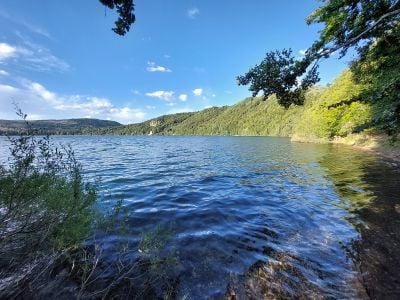
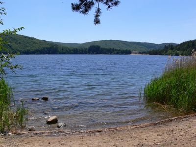
Lac d'Issarlès is a natural lake in the Ardèche region positioned at approximately 1,000 meters elevation. The water body spans a considerable area and features significant depths in its central zones.
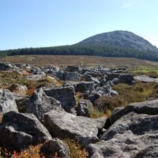
Lac d'Issarlès is a maar crater formed by a violent phreatomagmatic eruption dated to 80,000 years ago; the surrounding deposits hold fragments of bedrock, breccias and basaltic magma. The lake gave its name to the commune of Le Lac-d'Issarlès, created in 1929 by splitting the territory of Issarlès. Since 1954 its water has fed the Montpezat hydroelectric plant.
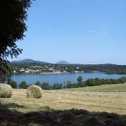
The lake gave its name to the commune of Le Lac-d'Issarlès, created in 1929 by splitting the territory of neighbouring Issarlès. In summer, pedal boats can be rented on the water, and trails leave the shore for the source of the Loire and the hamlet of Le Ventalon, which offers gîtes at the edge of the forests.
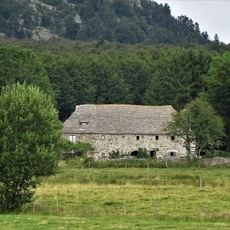
The lake lies at 1,000 m altitude in the commune of Le Lac-d'Issarlès, Ardèche. Footpaths leave the lake toward Lac de Coucouron about 15 km away, crossing the Loire, and toward hamlets such as Le Ventalon, which has gîtes at the forest edge. Pedal boats can be rented in summer. Outside the summer tourist season, EDF's hydroelectric operation causes marked changes in the water level.
The lake is a maar crater formed by a phreatomagmatic eruption dated to 80,000 years ago; the surrounding ground holds fragments of bedrock, breccias and basaltic magma, some of it glassy. In 2020 a first core reached 108 m depth and recovered 7 m of sediment covering 8,000 years. A CNRS team returned in June 2024 to extract 30 m of sediment spanning 50,000 years, but technical problems postponed the work.
The community of curious travelers
AroundUs brings together thousands of curated places, local tips, and hidden gems, enriched daily by 92,638 contributors worldwide.