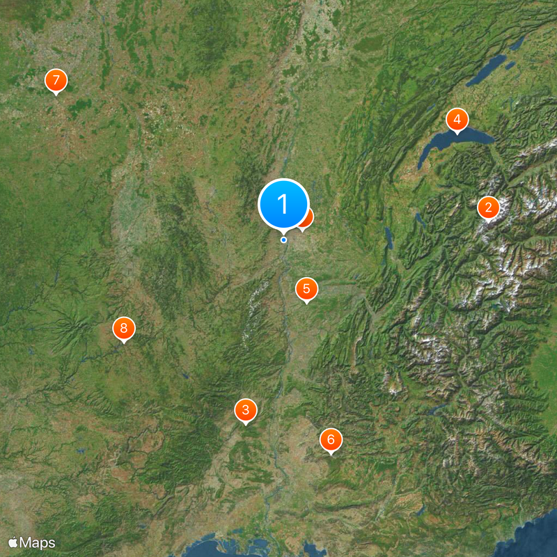
Auvergne-Rhône-Alpes, Administrative region in southeastern France
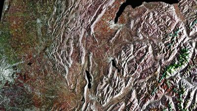
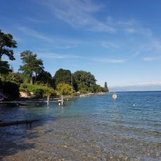
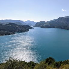
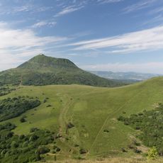
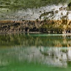
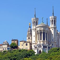
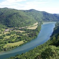
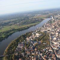
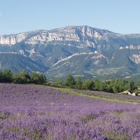
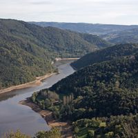
Auvergne-Rhône-Alpes is a large administrative unit in southeastern France, stretching from the high Alps in the east to the gentle volcanic hills in the west. The territory includes twelve departments and takes in major urban centers like Lyon, Grenoble, and Saint-Étienne, surrounded by wide rural zones filled with forests, vineyards, and mountain ranges.
The region took shape in early 2016 from a nationwide administrative reform that brought two former regions together and unified their governance systems. This merger combined mountain territories in the east with volcanic landscapes in the center, each previously holding separate political and cultural identities.
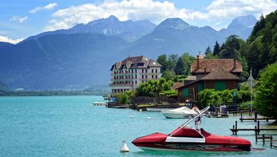
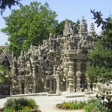
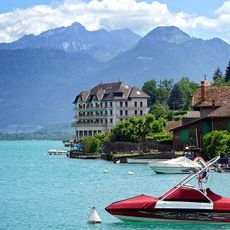
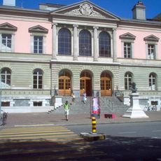
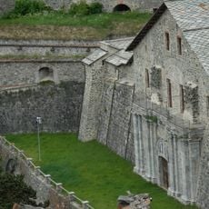
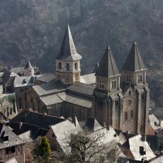
Local markets and village squares show the different traditions of the historical territories, each maintaining its own identity. Visitors notice the shift between the habits of mountain villages in the Alps and the urban rhythms of the river valleys, reflected in dialects, festivals, and cooking styles.
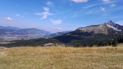
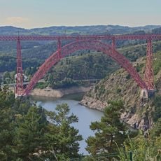
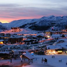
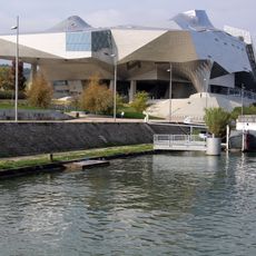
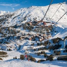
Travelers can expect large contrasts in elevation and climate, from alpine passes to gentle valleys, each requiring different clothing and preparation. The capital Lyon serves as a central hub for train and road links that spread out into the surrounding departments, making access to more remote areas easier.
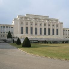
The region shares international borders with both Italy and Switzerland, making its eastern valleys a crossing point for travelers between three countries. Its population ranks among the largest of French regions, forming a mix of alpine, urban, and rural communities.
The community of curious travelers
AroundUs brings together thousands of curated places, local tips, and hidden gems, enriched daily by 60,000 contributors worldwide.