Enable Location

We need your location to show you interesting places around you

Discover nearby places

Find interesting locations and hidden gems around you

Precise directions

Get accurate directions and distances to places

Your location is never shared with other users. It's only used when you tap the location button.

Savoie

Log in to your account

Start exploring — it's free

Trusted by 61,450 travelers worldwide

Continue with Google
Continue with Apple
or

We will send you a code to connect

By continuing, you accept our Terms and Conditions and our Privacy Policy

Check your inbox

We've sent a pincode in your inbox. Please enter the code below.

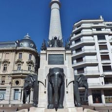
Savoie, Department in Auvergne-Rhône-Alpes, France

Description

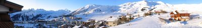
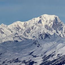
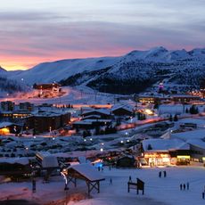
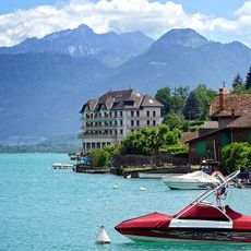
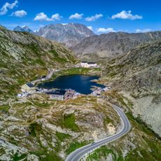
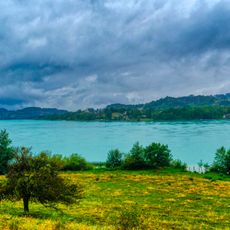
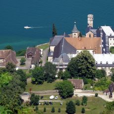
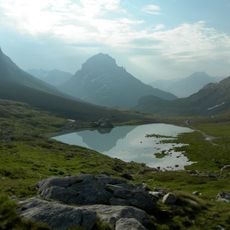
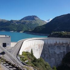
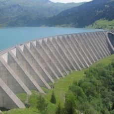
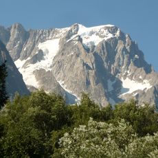
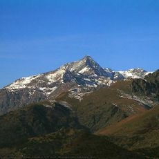
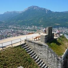
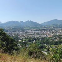
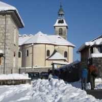
Savoie is an administrative territory in Auvergne-Rhône-Alpes, stretching between the French and Italian Alps and shaped by valleys, lakes, and peaks. The capital Chambéry sits in a broad valley, while towns like Aix-les-Bains rest on the shore of Lac du Bourget, France's largest natural lake.

History

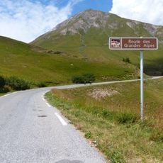
This territory became part of France in 1860, when the Duchy of Savoy was divided into two administrative units following the Treaty of Turin. Centuries earlier, the region served as an important link between the Mediterranean and central Europe, with mountain passes guiding traders and armies across the peaks.

Culture

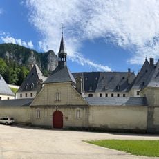
Traditional cuisine here centers around dishes like tartiflette and fondue savoyarde, served in restaurants and mountain chalets throughout the territory. In the higher elevations, cheesemakers work in small huts during summer months, producing varieties such as Beaufort and Reblochon using methods passed down through centuries.

Practical

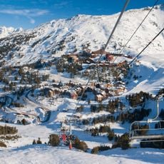
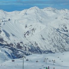
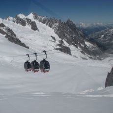
Mountain villages and ski resorts are best reached by car, though buses link the main resort towns during winter. Many roads wind through steep passes that can close during heavy snow, so carry chains in winter months.

Did you know?

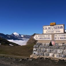
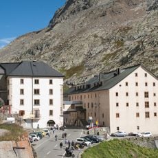
The Col de l'Iseran, which runs through this territory, stands as the highest paved mountain pass in the Alps at over 2,764 meters (9,068 feet). Cyclists in the Tour de France tackle this route when the race schedule brings them through the region each year.

Location
Inception
June 14, 1860
Capital city
Chambéry
Elevation above the sea
1,595 m
Reference
73
Shares border with
Ain, Hautes-Alpes, Haute-Savoie, Isère, Piedmont, Aosta Valley, Province of Turin
Address
Savoie, France
GPS coordinates
45.58333,6.33333
Latest update
December 15, 2025 07:30

AroundUs brings together thousands of curated places, local tips, and hidden gems, enriched daily by 60,000 contributors worldwide. Discover all places nearby (Auvergne-Rhône-Alpes).

« Savoie - Department in Auvergne-Rhône-Alpes, France » is provided by Around Us (aroundus.com). Images and texts are derived from Wikimedia project under a Creative Commons license. You are allowed to copy, distribute, and modify copies of this page, under the conditions set by the license, as long as this note is clearly visible.

Discover hidden gems everywhere you go!

From secret cafés to breathtaking viewpoints, skip the crowded tourist spots and find places that match your style. Our app makes it easy with voice search, smart filtering, route optimization, and insider tips from travelers worldwide. Download now for the complete mobile experience.

Around Us App Screenshot

A unique approach to discovering new places

Le Figaro

All the places worth exploring

France Info

A tailor-made excursion in just a few clicks

20 Minutes

Around Us
Travel Guide & Maps
Download

Send to your phone

QR Code
1

Open the camera app on your mobile.

2

Point at the QR code with your camera. A notification will appear.

3

Tap the notification to open the link.