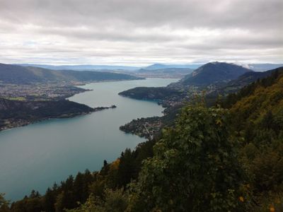
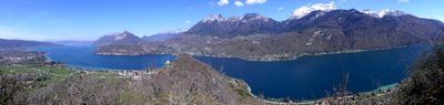
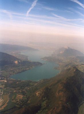
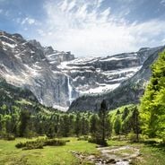
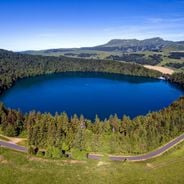
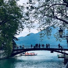
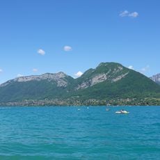
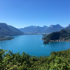
Lake Annecy, Natural lake in Haute-Savoie, France.
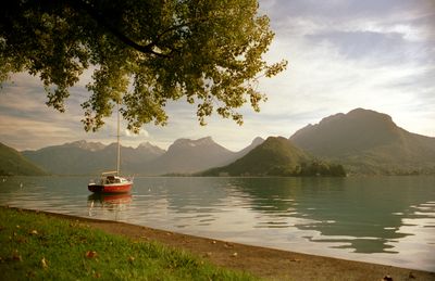
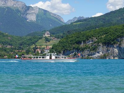
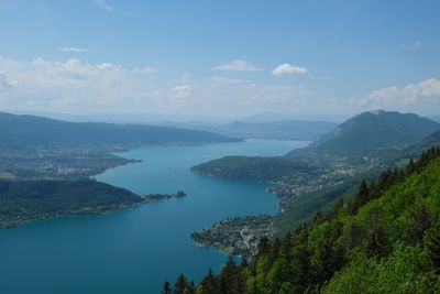
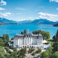
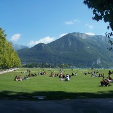
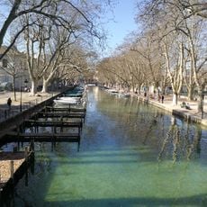
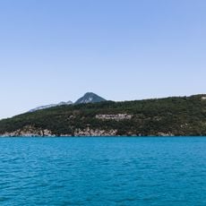
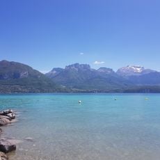
Lake Annecy is a body of water in Haute-Savoie that stretches between mountain ranges south of the town of Annecy and is surrounded by eight municipalities. The water is clear and the shores provide access to several bays, beaches, and villages along its entire coastline.
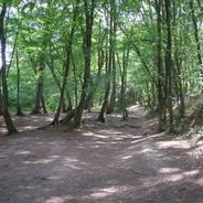
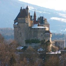
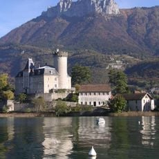
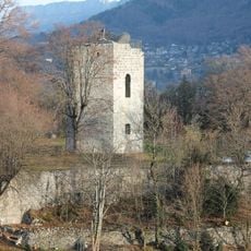
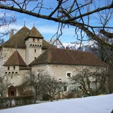
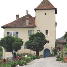
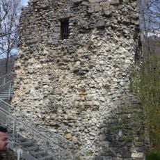
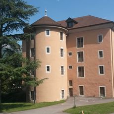
The basin formed around 18,000 years ago when alpine glaciers retreated and left water in a depression between the mountains. In medieval times, the Counts of Geneva fortified some shores and later small fishing villages appeared, which have since grown into larger communities.
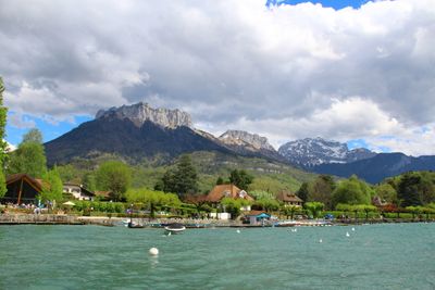
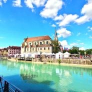
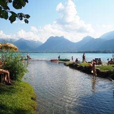
The name comes from a Latin word for the settlement on its shore, which evolved over centuries into today's Annecy. Locals often swim as early as late spring because the shallow bays warm faster than the deeper main body.
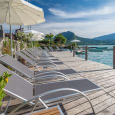
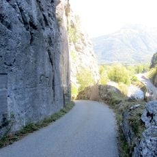
A cycle path follows almost the entire shore and connects public swimming spots where you can swim in summer. Parking is available in several villages around the shore, though northern sections tend to fill up in summer.
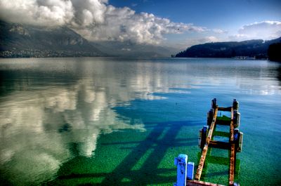
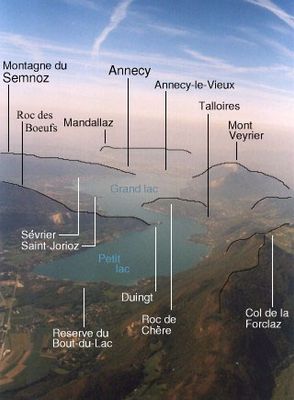
An underground spring called Boubioz feeds the water from around 82 meters deep and helps keep it so clear. Divers can visit this spot near the commune of Duingt where cold water rises from below the surface.
Location: Annecy
Location: Sevrier
Location: Saint-Jorioz
Location: Duingt
Location: Doussard
Location: Talloires-Montmin
Location: Menthon-Saint-Bernard
Location: Veyrier-du-Lac
Location: Haute-Savoie
Elevation above the sea: 446.9 m
Address: Lake Annecy, France
GPS coordinates: 45.85000,6.16667
Latest update: December 4, 2025 23:02
France offers diverse winter destinations spanning both urban and natural landscapes. The Alpine regions contain several ski areas, including Chamonix-Mont-Blanc at the base of Western Europe's highest peak, Les Trois Vallées with its extensive network of runs, and L'Alpe d'Huez at elevations above...
France offers motorcyclists a diverse landscape, from Alpine peaks to Mediterranean coasts, including wine regions. The country is suitable for all riding styles, with demanding mountain roads, winding coastal routes, and rural paths. Key routes include the Col de la Bonette, reaching 2802 meters...
Château de Menthon-Saint-Bernard
3.3 km
Pont des Amours
6.2 km
L'Impérial
6.2 km
Le Pâquier
6.3 km
Jardins de l'Europe d'Annecy
6.1 km
Château de Châteauvieux
3.7 km
Abbaye de Talloires
3.6 km
Mont Veyrier
5.8 km
Château de Duingt
3.9 km
Saint-François-de-Sales church
6.2 km
Roc de Chère National Nature Reserve
2.3 km
Téléphérique du Mont-Veyrier
4.1 km
Église Saint-Maurice
6.2 km
Plage d'Angon
5.2 km
Annecy Town Hall
6.2 km
Château d'Héré
3.8 km
Plage municipale de Sevrier
2.3 km
Les Marais de Saint-Jorioz
1 km
Parc Animalier de la Grande Jeanne
4.8 km
Château de Fésigny
4 km
Tour de Beauvivier
7.6 km
Hôtel de préfecture de la Haute-Savoie, Annecy
6.5 km
Jet de la Rose
2 km
Grand séminaire d'Annecy
5.8 km
Défilé de Dingy
6.9 km
Église Saint-Bernard de Menthon-Saint-Bernard
2.6 km
Church of Saint-Maurice in Veyrier-du-Lac
3.7 km
Église Saint-Nicolas de Saint-Jorioz
1.9 kmVisited this place? Tap the stars to rate it and share your experience / photos with the community! Try now! You can cancel it anytime.
Discover hidden gems everywhere you go!
From secret cafés to breathtaking viewpoints, skip the crowded tourist spots and find places that match your style. Our app makes it easy with voice search, smart filtering, route optimization, and insider tips from travelers worldwide. Download now for the complete mobile experience.
A unique approach to discovering new places❞
— Le Figaro
All the places worth exploring❞
— France Info
A tailor-made excursion in just a few clicks❞
— 20 Minutes