Annecy

Log in to your account

AroundUs is a community-driven map of interesting places, built by curious explorers like you. It grows with every review, story, and photo you share.
Connect to save your favorite spots, contribute locations, and create personalized routes.
By continuing, you accept our Terms and Conditions and our Privacy Policy
Add to collection
Map
Suggest a change
Share

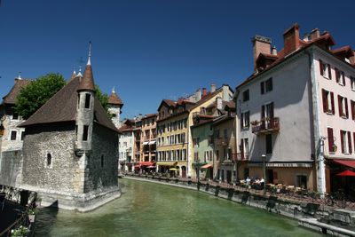
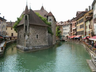
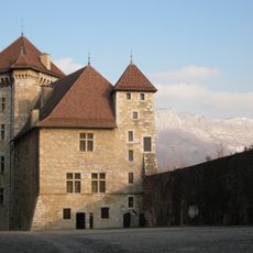
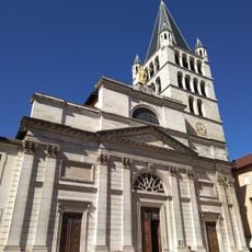
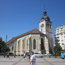
Annecy, Administrative division in Haute-Savoie, France

This administrative division in the northern French Alps comprises 77 communes and manages public services for roughly 293,000 residents throughout the Haute-Savoie region. The prefecture coordinates municipal governance, urban planning, and regional development programs from its headquarters in the city of Annecy.

The administrative boundaries were redrawn in 2015 when the number of communes decreased from 93 to 77 to meet modern demographic and organizational needs. This restructuring adapted local governance to shifting population distributions and more efficient service delivery frameworks.

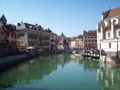
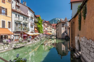
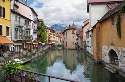
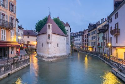
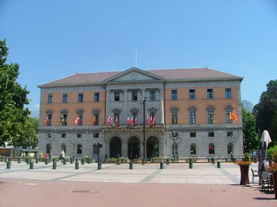
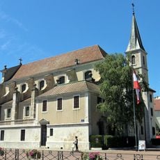
Local markets and town halls throughout the communes act as gathering points where residents manage civic matters and participate in community events. These administrative spaces serve as meeting places that reflect the tradition of regional cooperation and public engagement.

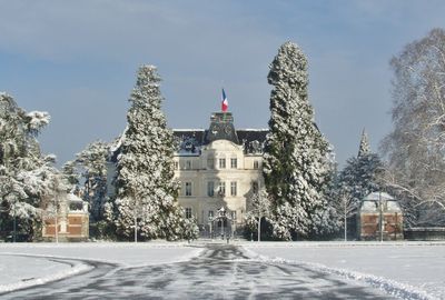
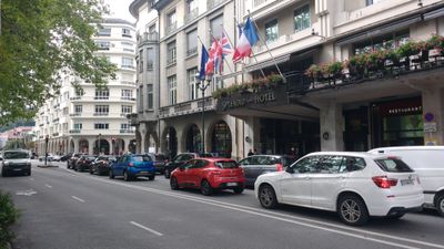
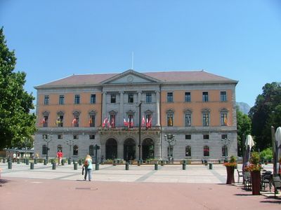
Administrative offices and citizen service centers are located throughout the larger towns and provide contact points for residents who need documents or municipal information. Opening hours and accessibility vary by commune size, with central offices generally offering extended service times.

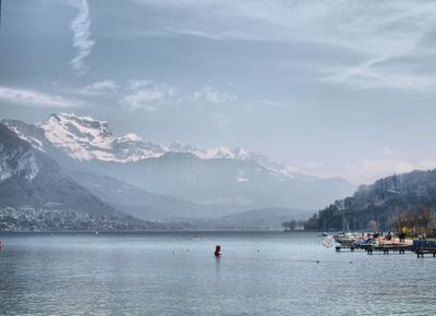
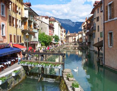
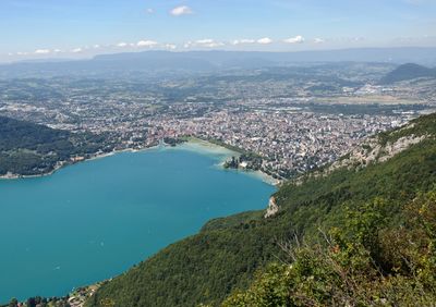
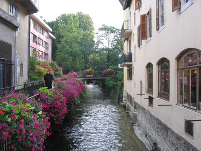
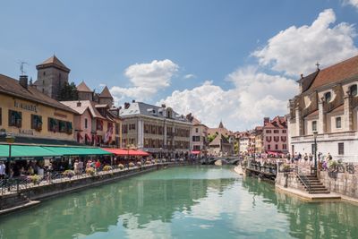
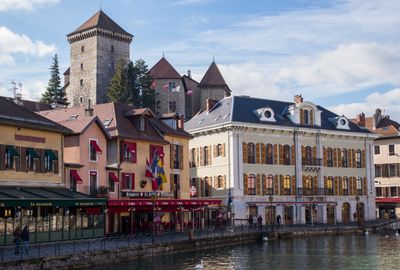
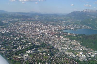
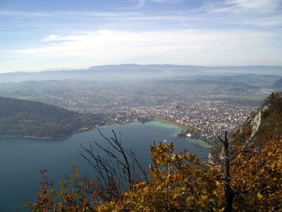
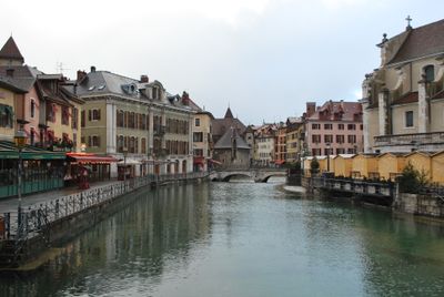
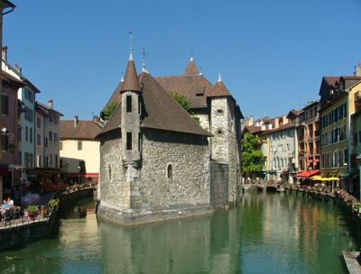
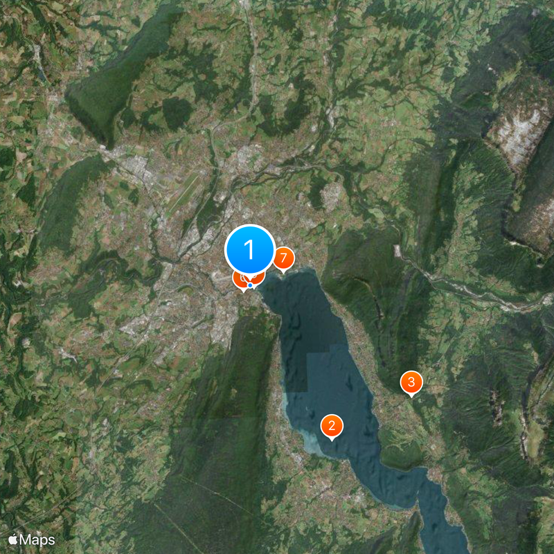
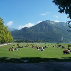
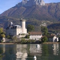
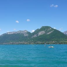
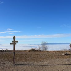
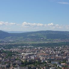
The administrative zone connects lakeside communes with mountain villages at higher elevations, creating an organizational unit that encompasses contrasting landscape types and settlement patterns. Local officials work daily with challenges ranging from shoreline development to mountain infrastructure.

Location: Haute-Savoie

Location: arrondissement of Annecy

Inception: January 1, 2017

Elevation above the sea: 556 m

Shares border with: Sevrier, Veyrier-du-Lac, Alex, Dingy-Saint-Clair, Nâves-Parmelan, Villaz, Argonay, Fillière, Cuvat, La Balme-de-Sillingy, Epagny Metz-Tessy, Poisy, Chavanod, Montagny-les-Lanches, Chapeiry, Viuz-la-Chiésaz, Quintal

Address: Annecy, France

Website: https://annecy.fr

GPS coordinates: 45.89917,6.12944

Latest update: December 3, 2025 09:33

Major cities of France: the 50 most populous communes, metropolitan areas, and urban centers

This collection brings together the 50 most populous cities of France, from the metropolis to overseas territories. It includes the major urban centers shaping the national territory, from Paris with its capital status to regional metropolises like Marseille with its Mediterranean port, Lyon where the Rhône and Saône meet, or Toulouse with its aerospace industry. These cities represent the main economic, cultural, and administrative hubs of the country. The selection covers all French regions and illustrates the diversity of territories: dense communes in Île-de-France, southern cities like Nice on the Côte d'Azur and Montpellier near the Mediterranean, eastern cities such as Strasbourg hosting the European Parliament, northern centers like Lille close to Belgium, or Bordeaux known for its architecture and vineyards. From Nantes, former capital of the Dukes of Brittany, to communes of La Réunion, this collection offers a complete overview of major French urban areas and invites exploration of their history, heritage, and unique vitality.

Annecy and its lake: the most beautiful places to see between town and mountains

Annecy is found between the lake water and the mountains. The old town can be explored on foot, along the Thiou and its canals lined with colorful buildings. You can see the Isle Palace, an old jail from the 12th century on a small island, and the Annecy Castle, sitting above the roofs from its medieval walls. The Pont des Amours gives a clear view of the lake, while the Gardens of Europe invite walks. Around the city, the lake is good for swimming and water sports. There is a bike trail, about 42 km long, that circles the lake. It passes by beaches and small ports. Further up, Parmelan and the Glières Plateau offer forest and mountain meadow trips, with views of the Alps. The area also has some castles like Montrottier with its octagonal tower, and Clermont with Renaissance galleries. In summer, markets fill the squares, and the terraces near the water become busy. In winter, the first snows fall on the Aravis mountains. Every season changes the look of the place and gives a new reason to visit again.

Reviews

Visited this place? Tap the stars to rate it and share your experience / photos with the community! Try now! You can cancel it anytime.

« Annecy - Administrative division in Haute-Savoie, France » is provided by Around Us (aroundus.com). Images and texts are derived from Wikimedia project under a Creative Commons license. You are allowed to copy, distribute, and modify copies of this page, under the conditions set by the license, as long as this note is clearly visible.

Discover hidden gems everywhere you go!

From secret cafés to breathtaking viewpoints, skip the crowded tourist spots and find places that match your style. Our app makes it easy with voice search, smart filtering, route optimization, and insider tips from travelers worldwide. Download now for the complete mobile experience.

Around Us App Screenshot

A unique approach to discovering new places

Le Figaro

All the places worth exploring

France Info

A tailor-made excursion in just a few clicks

20 Minutes