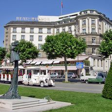
Haute-Savoie, Department of France in Auvergne-Rhône-Alpes region, France
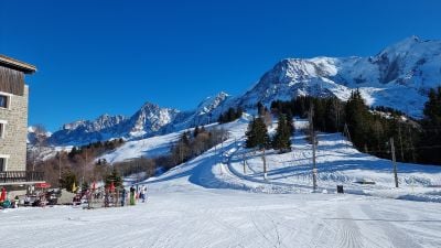
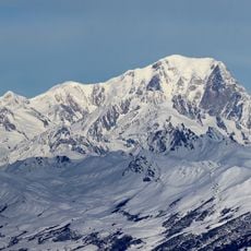
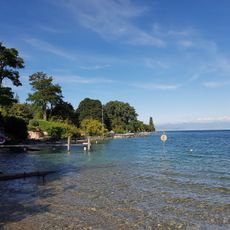
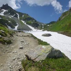
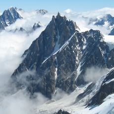
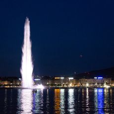
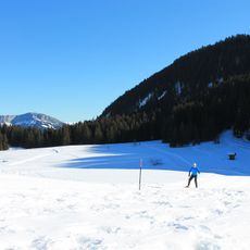
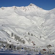
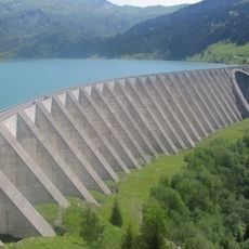
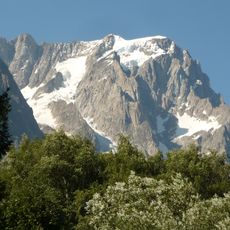
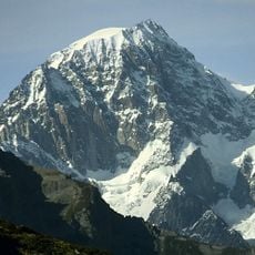
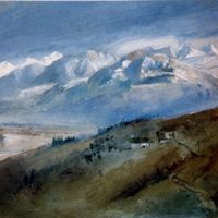
Haute-Savoie is an administrative department in eastern France that covers alpine peaks, prealpine lakes and border towns. The area runs from Lake Geneva in the north to the Mont Blanc massif in the south and holds wide valleys with spruce and fir forests.
The area shifted from Savoyard rule to France in 1860 through the Treaty of Turin. The border drawing followed a public vote and secured French control of alpine passes toward Italy.
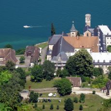
The French name translates as Upper Savoy and refers to its elevated position compared to the southwestern neighbor department. Visitors notice bilingual town signs near borders and the use of regional products like Reblochon cheese in local dishes.
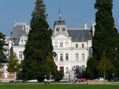
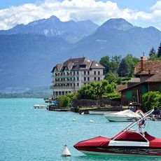
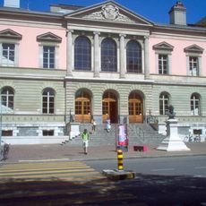
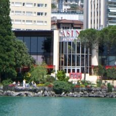
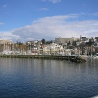
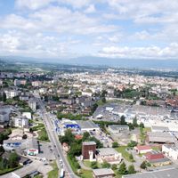
Travelers find four main towns that serve as starting points for hikes, ski trips and lake stays. Many roads run through narrow valleys with hairpin turns, so cautious driving is advisable during winter weather.
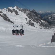
More than half of all municipalities sit above 600 meters (1,970 feet) in elevation, making snow clearing and winter services a year-round challenge. Some mountain villages remain accessible only by cable car or snowmobile in January and February.
Location: Auvergne-Rhône-Alpes
Location: France
Inception: June 14, 1860
Capital city: Annecy
Elevation above the sea: 1,160 m
Shares border with: Canton of Vaud, Canton of Valais, Canton of Geneva, Ain, Savoie, Aosta Valley
Address: Haute-Savoie, France
Website: http://haute-savoie.pref.gouv.fr
GPS coordinates: 46.00000,6.33333
Latest update: December 4, 2025 19:03
The Haute-Savoie is home to waterfalls with very different characters. Some are hidden along forest paths, like the Cascade du Dard near Chamonix, while others tumble down from tall limestone cliffs over hundreds of meters. The Cascade d'Arpenaz near Sallanches is one of the tallest in France, with an 860-meter drop. The Cascades d'Angon flow down in several steps to Lake Annecy, and the Cascade de la Diosaz can be visited through walkways built in a gorge. The Cirque du Fer-à-Cheval contains around thirty waterfalls that flow along a rocky amphitheater. Depending on the season and snowmelt, the flow changes, altering the atmosphere of the place. Other waterfalls, like the one in Nyon accessible by cable car or the one in Seythenex with its old water wheel, offer easy walks suitable for everyone.
Mont Blanc
45.2 km
Lake Annecy
21.1 km
Tour du Mont Blanc
54.7 km
University of Geneva
26.5 km
Aiguille du Midi
45 km
Chillon Castle
65 km
Jet d'Eau
26.8 km
Palace of Nations
29.3 km
Avoriaz
40 km
Mer de Glace
47.7 km
Villa Diodati
27.1 km
FIBA Hall of Fame
35.4 km
Broken Chair
29 km
Glières Plateau
3.9 km
Hautecombe Abbey
47.2 km
Portes du Soleil
41.4 km
Reformation Wall
26.6 km
Montreux Casino
65.4 km
Roselend Dam
41.5 km
Château Rothschild and its outbuildings
30.1 km
Vallée Blanche Aerial Tramway
45 km
Grandes Jorasses
52.5 km
Beau-Rivage Geneva
27.2 km
Stade de Genève
25.4 km
Toblerone Line
45 km
Ferney-Voltaire Castle
33.7 km
Mont Blanc de Courmayeur
45.8 km
Skyway Monte Bianco
52.4 kmVisited this place? Tap the stars to rate it and share your experience / photos with the community! Try now! You can cancel it anytime.
Discover hidden gems everywhere you go!
From secret cafés to breathtaking viewpoints, skip the crowded tourist spots and find places that match your style. Our app makes it easy with voice search, smart filtering, route optimization, and insider tips from travelers worldwide. Download now for the complete mobile experience.
A unique approach to discovering new places❞
— Le Figaro
All the places worth exploring❞
— France Info
A tailor-made excursion in just a few clicks❞
— 20 Minutes