Tour du Mont Blanc, Long-distance hiking trail in Haute-Savoie, France.
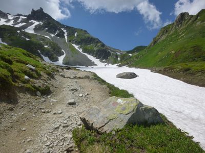
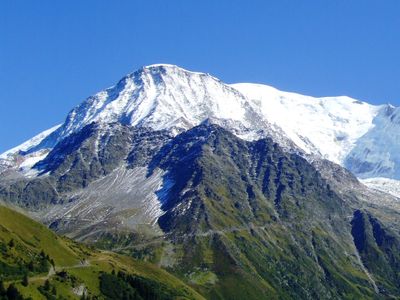
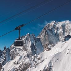
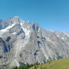
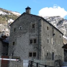
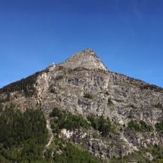
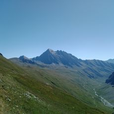
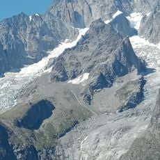
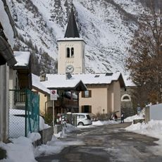
The Tour du Mont Blanc is a long-distance hiking trail in Haute-Savoie, Canton of Valais, Aosta Valley, and Savoie that circles the Mont Blanc massif over roughly 170 kilometers through France, Italy, and Switzerland. The path crosses seven valleys, linking mountain refuges, villages, and high passes between 1,000 and 2,600 meters elevation.
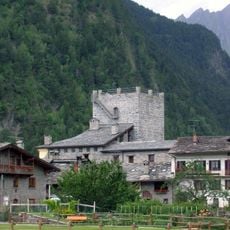
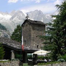
The trail took shape after the first ascent of Mont Blanc in 1786, when mountaineers and travelers began exploring the valleys around the massif. During the 19th century, mountain refuges and marked routes gradually linked the valleys, forming the circuit that hikers follow today.
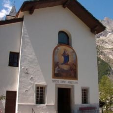
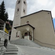
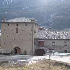
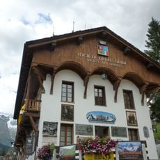
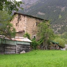
Hikers meet villagers who speak different languages within a single day, moving between French, Italian, and Swiss communities that share mountain living but keep their own cooking and building traditions. Refuges serve meals family-style at long tables, where travelers share stories about their day and learn the names of peaks from hut keepers who grew up in these valleys.
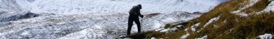
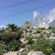
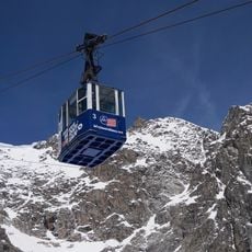
The best hiking conditions occur from late June through September when passes are free of snow and mountain huts are open. Hikers should prepare for rapid weather changes and carry warm clothing along with rain gear, since temperature and wind can shift quickly at higher elevations.
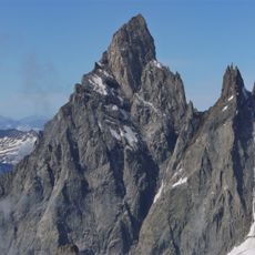
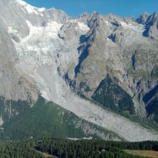
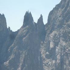
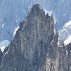
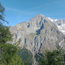
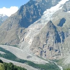
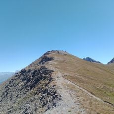
The route passes through all Alpine vegetation zones, from meadows with wildflowers to barren rock landscapes near the snow line. Hikers can walk through forests, alpine pastures, and rocky slopes in a single day, observing how plants and climate change with elevation.
The community of curious travelers
AroundUs brings together thousands of curated places, local tips, and hidden gems, enriched daily by 60,000 contributors worldwide.