Enable Location

We need your location to show you interesting places around you

Discover nearby places

Find interesting locations and hidden gems around you

Precise directions

Get accurate directions and distances to places

Your location is never shared with other users. It's only used when you tap the location button.

Mont Chétif

Log in to your account

Start exploring — it's free

Trusted by 63,011 travelers worldwide

Continue with Google
Continue with Apple
or

We will send you a code to connect

By continuing, you accept our Terms and Conditions and our Privacy Policy

Check your inbox

We've sent a pincode in your inbox. Please enter the code below.

Mont Chétif
Discussion Reviews 1 Photos
1.4k Popularity

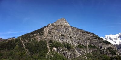
Mont Chétif, Mountain summit in Courmayeur, Italy

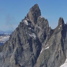
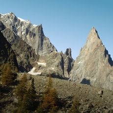
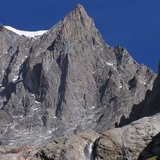
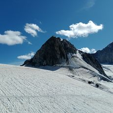
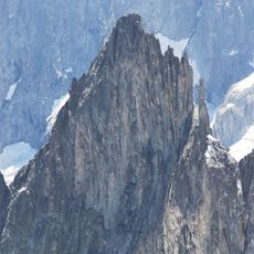
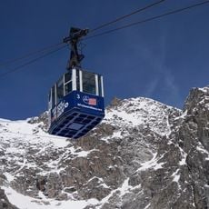
Mont Chétif is a mountain summit near Courmayeur reaching approximately 2,343 meters (7,687 feet) in the Graian Alps. Multiple climbing routes lead to the top, with some sections secured by metal chains and fixed safety equipment for climbers.

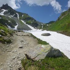
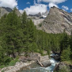
Shepherd paths on this mountain have been used for centuries to reach high pastures in the Graian Alps, connecting valley settlements with seasonal grazing lands essential for local herding. Over time, these routes evolved into the climbing paths used by mountaineers today.

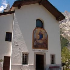
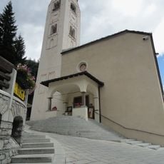
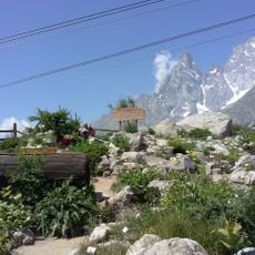
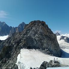
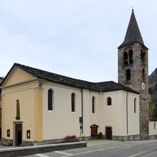
The summit cross and Virgin Mary statue reflect the spiritual role this peak holds for local climbers, who have long visited as a place of reflection during their mountain journeys.

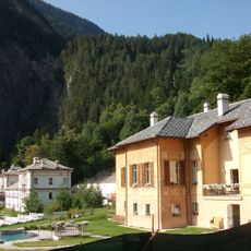
The climb begins at Pré de Pascal in Val Veny with moderate terrain in lower sections before steeper ascents higher up. The best time to visit is from June through October when snow melts and conditions are most stable for climbing.

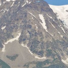
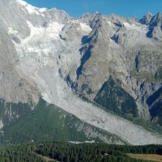
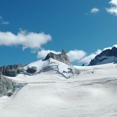
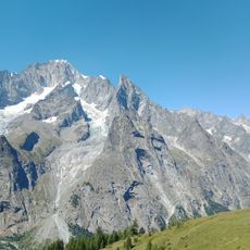
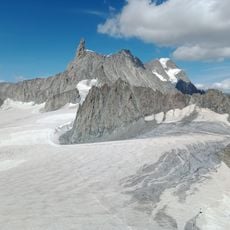
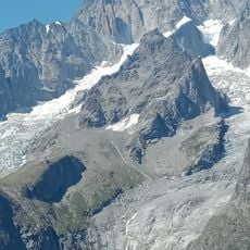
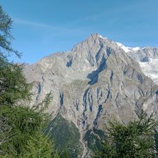
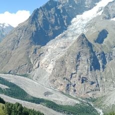
From this summit you face directly toward the Mont Blanc massif with sunrise views unfolding over Europe's tallest peak. This vantage point has made it a favored spot for photographers seeking morning light displays across the neighboring mountain.

The community of curious travelers

AroundUs brings together thousands of curated places, local tips, and hidden gems, enriched daily by 60,000 contributors worldwide.

Start exploring
Location
Elevation above the sea
2,343 m
GPS coordinates
45.79969,6.94880
Latest update
December 14, 2025 16:46
Reviews
Share your experience

No review yet

Discussions
Start a discussion...

No discussion yet

« Mont Chétif - Mountain summit in Courmayeur, Italy » is provided by Around Us (aroundus.com). Images and texts are derived from Wikimedia project under a Creative Commons license. You are allowed to copy, distribute, and modify copies of this page, under the conditions set by the license, as long as this note is clearly visible.

Discover hidden gems everywhere you go!

From secret cafés to breathtaking viewpoints, skip the crowded tourist spots and find places that match your style. Our app makes it easy with voice search, smart filtering, route optimization, and insider tips from travelers worldwide. Download now for the complete mobile experience.

Around Us App Screenshot

A unique approach to discovering new places

Le Figaro

All the places worth exploring

France Info

A tailor-made excursion in just a few clicks

20 Minutes

Around Us
Travel Guide & Maps
Download

Send to your phone

QR Code
1

Open the camera app on your mobile.

2

Point at the QR code with your camera. A notification will appear.

3

Tap the notification to open the link.