Courmayeur, Italian comune
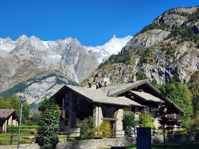
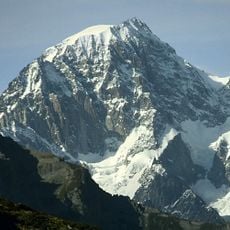
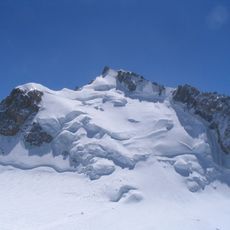
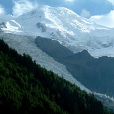
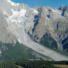
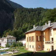
Courmayeur is a mountain town in Italy's Aosta Valley situated at the base of Mont Blanc and positioned at about 1200 meters elevation. The town center features historic buildings such as the San Pantaleone church dating to the 1700s, alongside shops, cafes, and accommodations that serve as a hub for mountaineers and visitors exploring the surrounding alpine terrain.
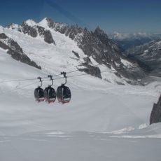
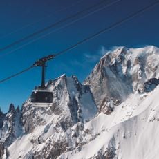
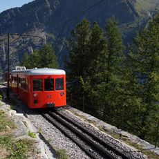
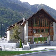
Local families built the area's first cable car in the early 1900s, marking the beginning of modern mountain access in Courmayeur. A funicular railway opened in 1939 connecting La Palud to Punta Helbronner, further expanding how visitors and climbers could reach the high alpine zones.
Courmayeur's name reflects its mountain setting, and the town center preserves this identity through traditional architecture, local shops, and gathering spaces. The presence of the Alpine Guides Headquarters near the main square shows how climbing and mountaineering remain central to community life and local pride.
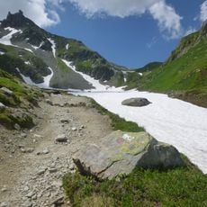
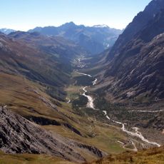
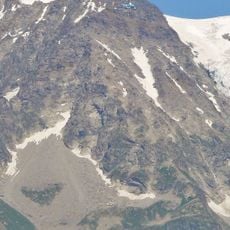
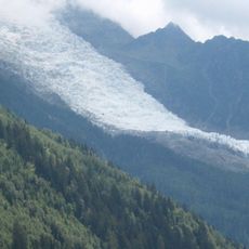
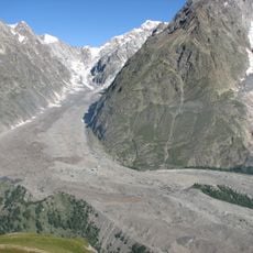
Courmayeur is accessible by car through the Mont Blanc tunnel from France or from other parts of Italy like Turin, making it easy to reach throughout the year. Visitors can expect different experiences depending on the season: winter draws skiers to the slopes, while spring through fall offer hiking and mountain exploration on both valley trails and higher routes accessed by cable car.
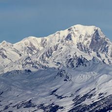
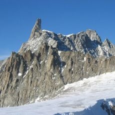
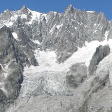
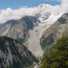
Since 2015, the Skyway Monte Bianco is a modern rotating cable car that rises from Courmayeur to Punta Helbronner over 3400 meters in just a few minutes, offering 360-degree views of the Mont Blanc massif throughout the journey. This engineered experience has transformed how visitors of all abilities can reach and experience the high alpine environment.
The community of curious travelers
AroundUs brings together thousands of curated places, local tips, and hidden gems, enriched daily by 60,000 contributors worldwide.