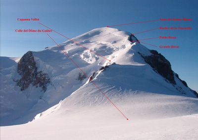
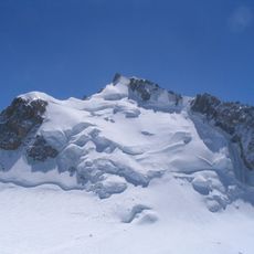
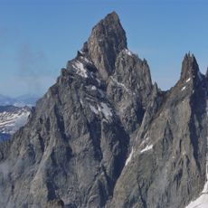
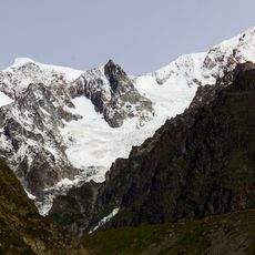
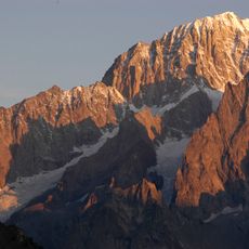
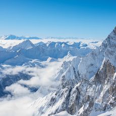
Rocher de la Tournette, Secondary summit of Mont Blanc in Chamonix-Mont-Blanc, France.
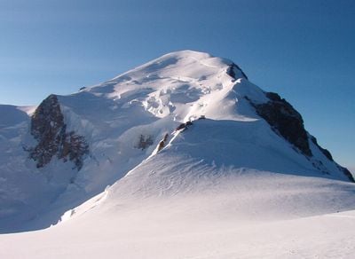
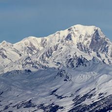
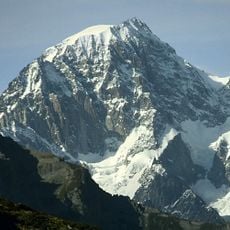
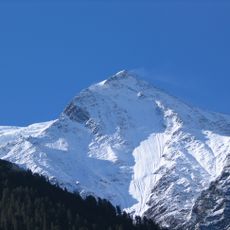
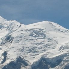
Rocher de la Tournette is a rocky spur on the main ridge of Mont Blanc, sitting on the border between France and Italy, between the Petite Bosse and the central summit. It stands at around 4,677 feet (1,425 m) and marks a clear reference point along the standard route to the top of the Alps.
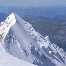
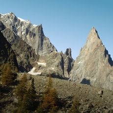
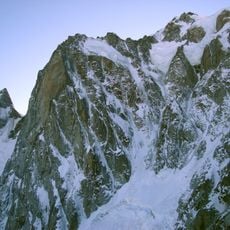
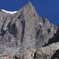
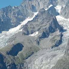
The rock spur was first climbed on July 2, 1872, by T. Kennedy, J. Carrel, and J. Fischer, who approached from the Italian side. This ascent was one of the early explorations of the Mont Blanc massif beyond the main summit route.
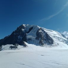
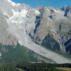
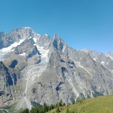
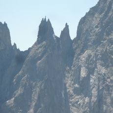
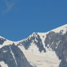
The Rocher de la Tournette sits on the Franco-Italian border ridge, and climbers from across Europe pass over it on the standard route to the Mont Blanc summit. It is one of those places where two countries meet without any visible boundary, only rock and snow.
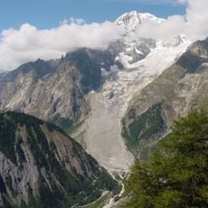
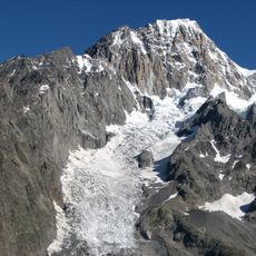
The Rocher de la Tournette is reached via the Gouter Route, which requires solid alpine experience, proper gear, and physical preparation before setting out. Conditions at this altitude can shift without warning, so an early start and flexibility in plans are strongly advised.
This rocky spur was the site of several aircraft crashes in the 20th century, which inspired the writer Henri Troyat to write his novel La Neige en deuil. The book was later adapted into a Hollywood film, bringing this part of the mountain into popular memory far beyond the climbing world.
The community of curious travelers
AroundUs brings together thousands of curated places, local tips, and hidden gems, enriched daily by 60,000 contributors worldwide.