Enable Location

We need your location to show you interesting places around you

Discover nearby places

Find interesting locations and hidden gems around you

Precise directions

Get accurate directions and distances to places

Your location is never shared with other users. It's only used when you tap the location button.

Piton des Italiens

Log in to your account

Start exploring — it's free

Trusted by 62,442 travelers worldwide

Continue with Google
Continue with Apple
or

We will send you a code to connect

By continuing, you accept our Terms and Conditions and our Privacy Policy

Check your inbox

We've sent a pincode in your inbox. Please enter the code below.

Piton des Italiens

Piton des Italiens, Mountain summit at France-Italy border, Saint-Gervais-les-Bains.

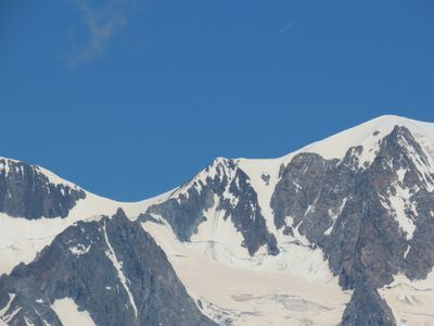
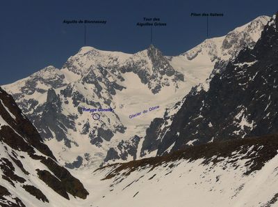
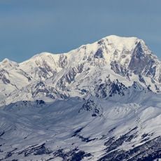
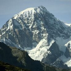
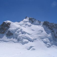
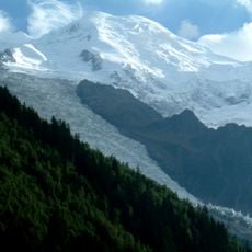
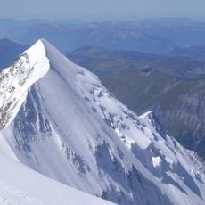
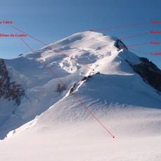
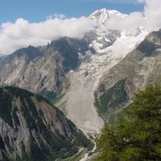
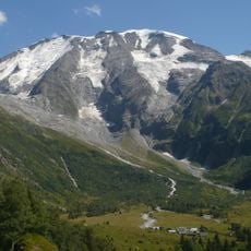
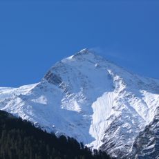
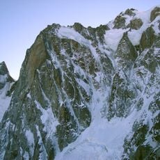
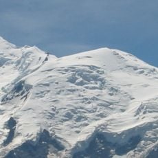
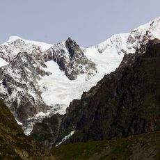
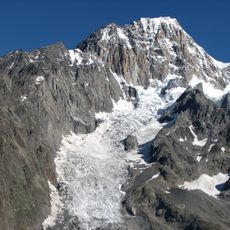
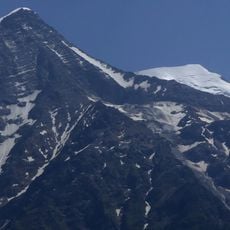
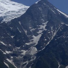
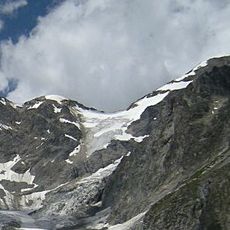
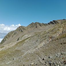
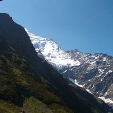
Piton des Italiens is a mountain summit in the Mont Blanc massif that rises to 4002 meters (13129 feet) and marks the boundary between France and Italy. The terrain around the peak features bare rock, glaciers, and steep slopes with no established trails.

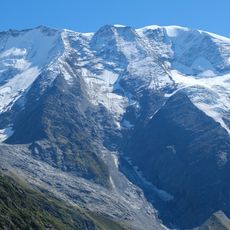
The summit became a key boundary marker when France and Italy established their shared border in this high mountain region. Since then, the ridgeline has served as the official and natural frontier dividing both nations.

The peak brings together mountaineers from the French and Italian sides of the Mont Blanc massif who share routes and climbing knowledge. Both Saint-Gervais-les-Bains and Courmayeur consider this summit part of their mountaineering heritage.

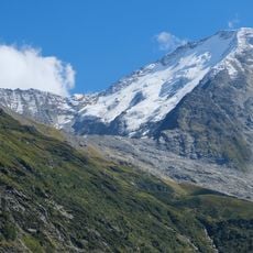
Reaching this summit requires mountaineering equipment, glacier experience, and solid fitness since there are no cable cars or direct access routes. Summer months offer the most stable conditions for climbing, though ice and snow are always present at this elevation.

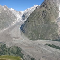
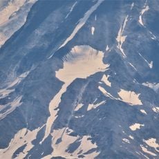
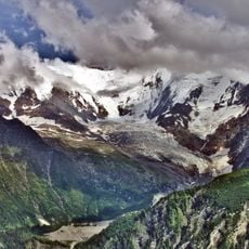
The peak sits where multiple glacier systems meet and plays a role in how water flows toward both the Mediterranean and Adriatic seas. This geographic position makes it significant for understanding how the Alps distribute water across the continent.

The community of curious travelers

AroundUs brings together thousands of curated places, local tips, and hidden gems, enriched daily by 60,000 contributors worldwide.

Start exploring
Location
Elevation above the sea
4,002 m
Part of
France–Italy border, drainage divide between the Adriatic and Mediterranean seas
GPS coordinates
45.83721,6.83043
Latest update
December 14, 2025 20:26
« Piton des Italiens - Mountain summit at France-Italy border, Saint-Gervais-les-Bains » is provided by Around Us (aroundus.com). Images and texts are derived from Wikimedia project under a Creative Commons license. You are allowed to copy, distribute, and modify copies of this page, under the conditions set by the license, as long as this note is clearly visible.

Discover hidden gems everywhere you go!

From secret cafés to breathtaking viewpoints, skip the crowded tourist spots and find places that match your style. Our app makes it easy with voice search, smart filtering, route optimization, and insider tips from travelers worldwide. Download now for the complete mobile experience.

Around Us App Screenshot

A unique approach to discovering new places

Le Figaro

All the places worth exploring

France Info

A tailor-made excursion in just a few clicks

20 Minutes

Around Us
Travel Guide & Maps
Download

Send to your phone

QR Code
1

Open the camera app on your mobile.

2

Point at the QR code with your camera. A notification will appear.

3

Tap the notification to open the link.