Enable Location

We need your location to show you interesting places around you

Discover nearby places

Find interesting locations and hidden gems around you

Precise directions

Get accurate directions and distances to places

Your location is never shared with other users. It's only used when you tap the location button.

Aiguille de Bionnassay

Log in to your account

Start exploring — it's free

Trusted by 65,094 travelers worldwide

Continue with Google
Continue with Apple
or

We will send you a code to connect

By continuing, you accept our Terms and Conditions and our Privacy Policy

Check your inbox

We've sent a pincode in your inbox. Please enter the code below.

Aiguille de Bionnassay
Discussion Reviews 4 Photos
4.7k Popularity

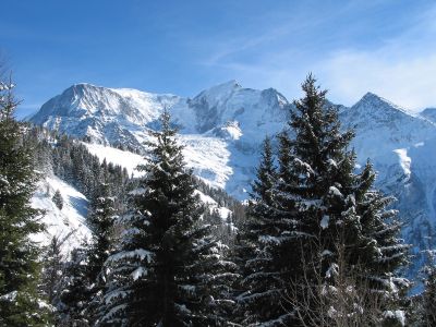
Aiguille de Bionnassay, Alpine peak in Saint-Gervais-les-Bains, France

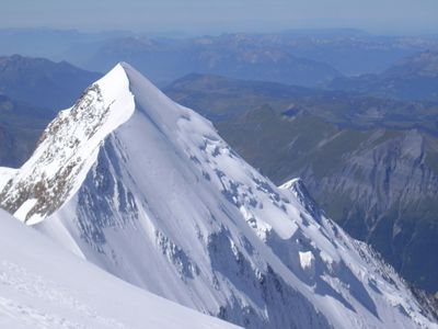
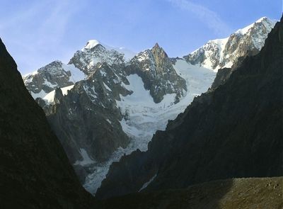
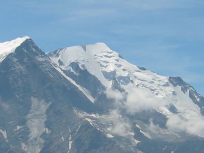
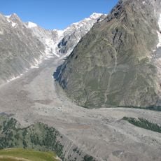
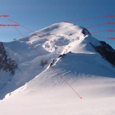
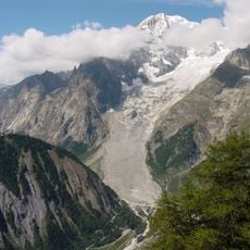
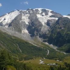
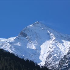
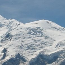
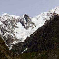
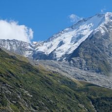
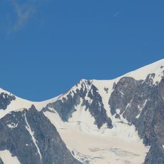
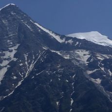
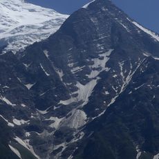
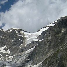
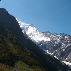
The Aiguille de Bionnassay is a high alpine summit on the border between France and Italy, sitting at 4,052 meters (13,294 ft) within the Mont Blanc massif. It forms a sharp peak covered in snow and ice, positioned at the western end of the ridge that leads toward Mont Blanc itself.

The summit was first reached on July 28, 1865, during the period when alpinists across the Alps were making their first ascents of major peaks. That first ascent placed the mountain among the early objectives of European mountaineering and set the stage for the routes climbed today.

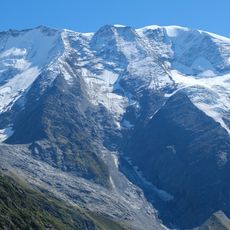
The Aiguille de Bionnassay sits on a narrow snow ridge that many alpinists consider one of the most demanding sections in the Mont Blanc massif. Passing over that ridge is seen as a rite of passage for climbers moving toward the higher summits nearby.

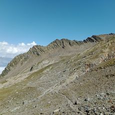
The Durier Hut near Col de Miage on the French side is the usual starting point for the ascent. The exposed snow ridge near the top requires solid rope skills and experience on mixed terrain, so the peak is not suited for beginners.

Crossing the Aiguille de Bionnassay is one of the key sections of the classic Mont Blanc traverse by the western ridge, which links several high summits in a single multi-day route. This means the peak is often climbed not as an end in itself, but as one stop along a longer chain of high-altitude objectives.

The community of curious travelers

AroundUs brings together thousands of curated places, local tips, and hidden gems, enriched daily by 60,000 contributors worldwide.

Start exploring
Location
Elevation above the sea
4,052 m
Part of
France–Italy border, drainage divide between the Adriatic and Mediterranean seas
GPS coordinates
45.83605,6.81867
Latest update
March 3, 2026 10:07
Reviews
Share your experience

No review yet

Discussions
Start a discussion...

No discussion yet

« Aiguille de Bionnassay - Alpine peak in Saint-Gervais-les-Bains, France » is provided by Around Us (aroundus.com). Images and texts are derived from Wikimedia project under a Creative Commons license. You are allowed to copy, distribute, and modify copies of this page, under the conditions set by the license, as long as this note is clearly visible.

Discover hidden gems everywhere you go!

From secret cafés to breathtaking viewpoints, skip the crowded tourist spots and find places that match your style. Our app makes it easy with voice search, smart filtering, route optimization, and insider tips from travelers worldwide. Download now for the complete mobile experience.

Around Us App Screenshot

A unique approach to discovering new places

Le Figaro

All the places worth exploring

France Info

A tailor-made excursion in just a few clicks

20 Minutes

Around Us
Travel Guide & Maps
Download

Send to your phone

QR Code
1

Open the camera app on your mobile.

2

Point at the QR code with your camera. A notification will appear.

3

Tap the notification to open the link.