Mont Blanc, Alpine mountain summit in Haute-Savoie, France
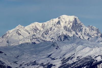
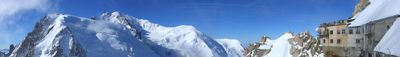
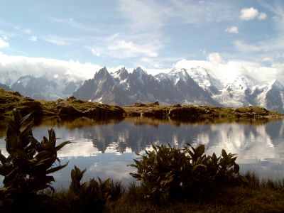
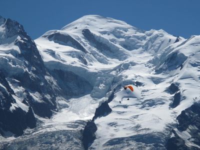
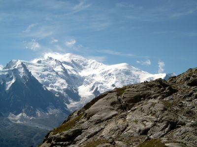
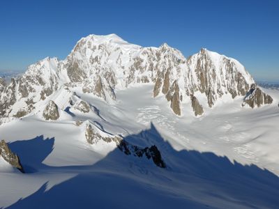
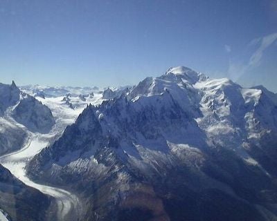
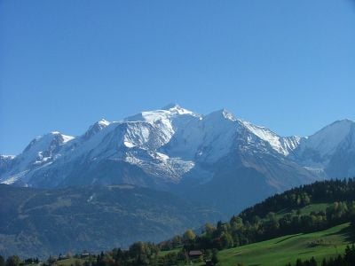
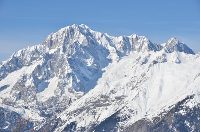
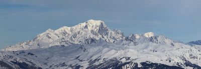
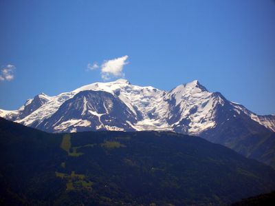
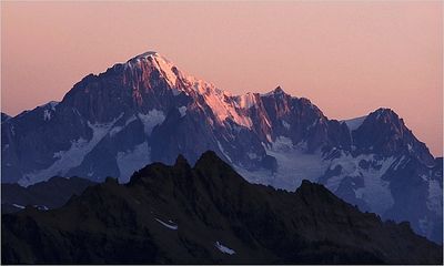
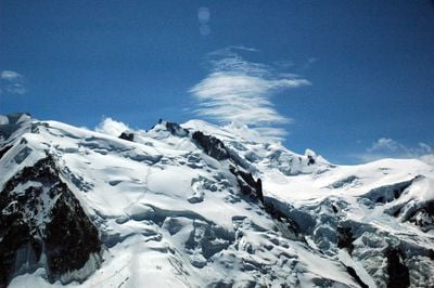
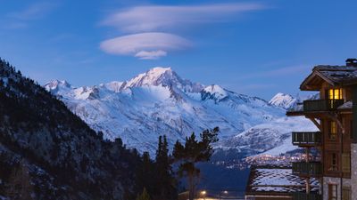
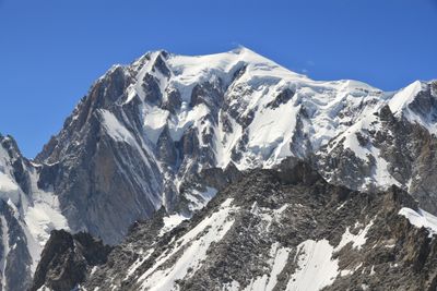
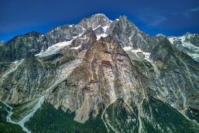
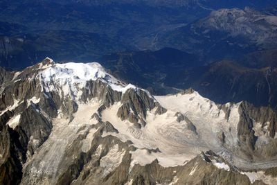
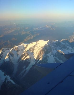
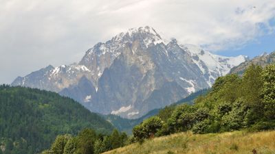
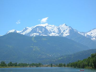
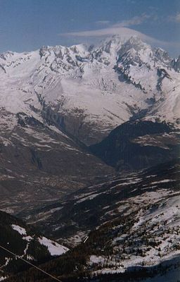
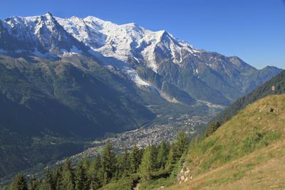
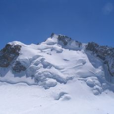
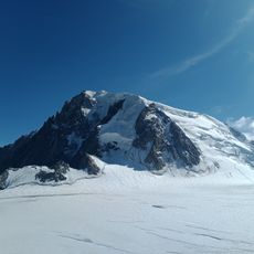
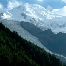
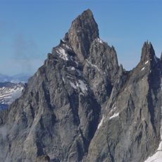
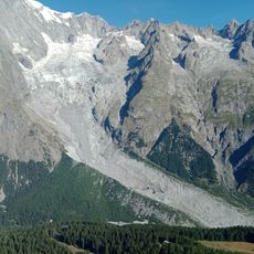
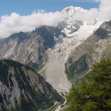
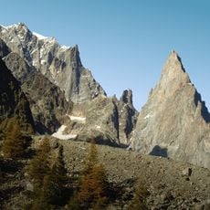
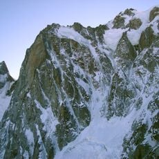
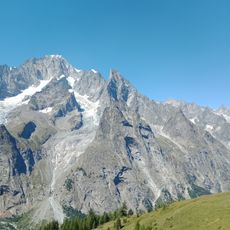
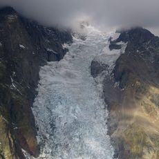
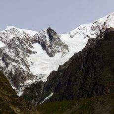
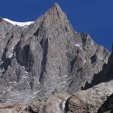
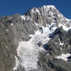
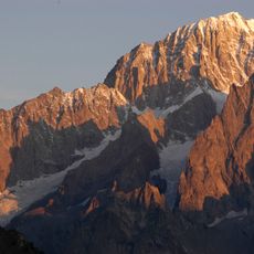
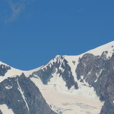
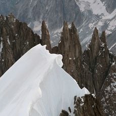
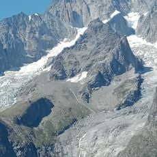
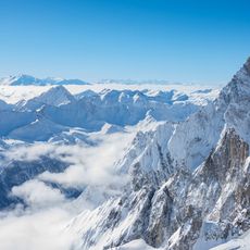
Mont Blanc is a 4805 meter (15,774 foot) granite summit on the border between France and Italy, covered in permanent snow with multiple glaciers flowing down its flanks. Its massive walls rise above the valleys of Chamonix and Courmayeur, forming the highest point of the Alps with steep rock faces and extensive ice fields.
Jacques Balmat and Michel-Gabriel Paccard reached the top on August 8, 1786, marking the first documented climb and opening a new era in mountaineering. Their ascent sparked European interest in climbing and led to the growth of Chamonix as a center for high-altitude expeditions.
Local communities in Chamonix and Courmayeur have lived alongside the peak for generations, developing a distinct mountain culture visible in guide traditions and shared stories. Visitors can sense this connection through conversations with mountain professionals and in small valley museums displaying old climbing gear and photographs that tell the human story.
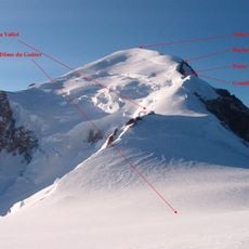
Climbers need proper equipment, physical preparation, and guidance from certified mountain professionals, with ascents typically requiring two days. The best period for attempting the climb runs from June through September when weather conditions tend to be most stable and refuge huts along the route remain open.
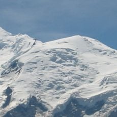
The height of the summit fluctuates throughout the year due to wind patterns and snow accumulation, requiring regular measurements by French geodesists. These natural variations can amount to several meters and occasionally shift the official elevation figure.
The community of curious travelers
AroundUs brings together thousands of curated places, local tips, and hidden gems, enriched daily by 60,000 contributors worldwide.