Aosta Valley, Autonomous region in northwestern Italy
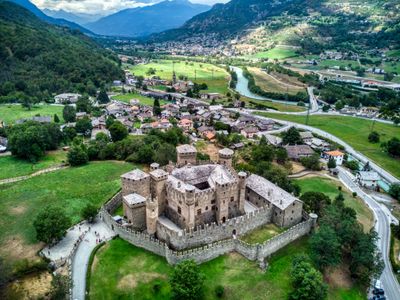
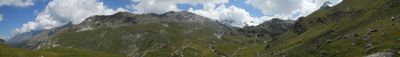
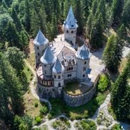
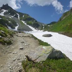
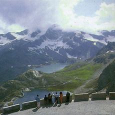
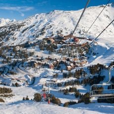
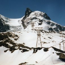
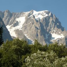
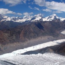
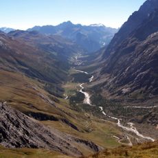
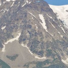
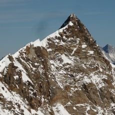
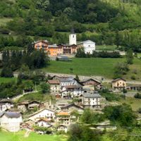
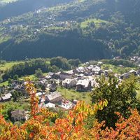
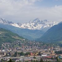
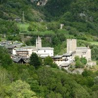
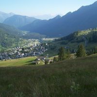
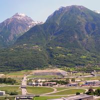
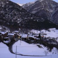
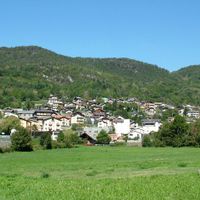
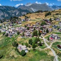
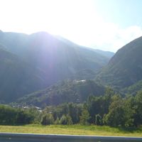
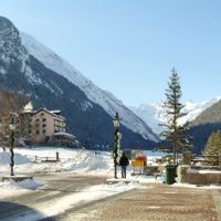
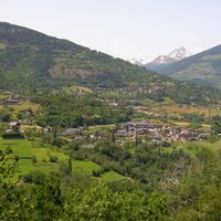
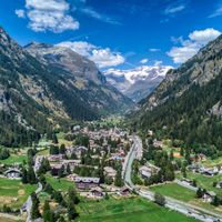
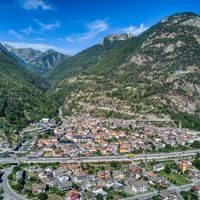
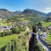
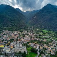
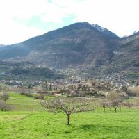
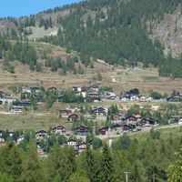
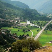
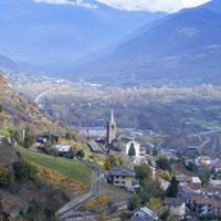
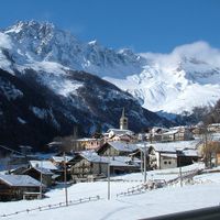
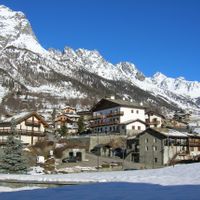
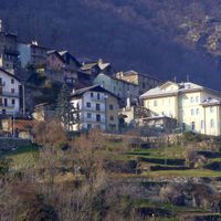
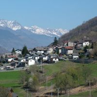
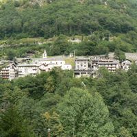
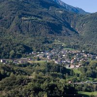
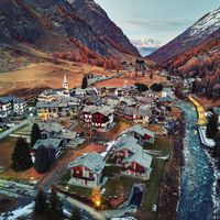
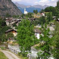
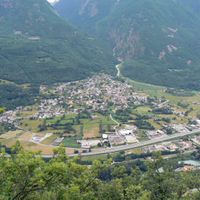
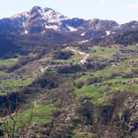
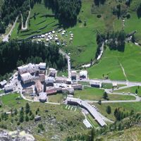
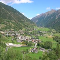
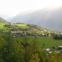
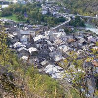
The Aosta Valley is an autonomous region in northwestern Italy, stretching between France, Switzerland and Piedmont, shaped by high Alpine peaks and broad glaciers. The region includes 74 municipalities scattered along the central valley and its side valleys, with forests, meadows and rock formations dominating the landscape.
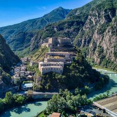
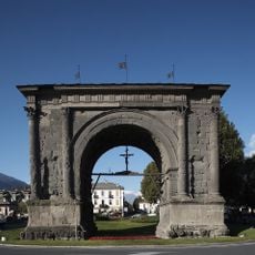
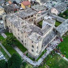
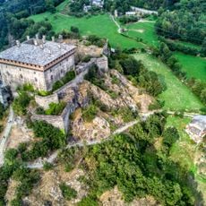
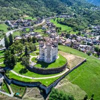
Romans founded Augusta Praetoria Salassorum in 25 BC to control Alpine passes leading to Gaul. The territory later became a duchy under the House of Savoy and gained autonomous status within the Italian Republic after World War II.
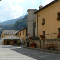
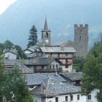
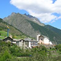
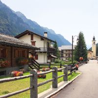
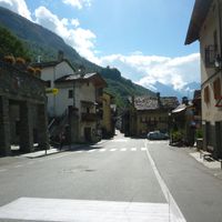
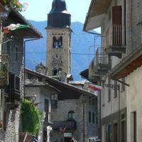
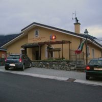
Daily life switches naturally between Italian and French, while villages still use the Franco-Provençal dialect called Valdôtain. Street signs, menus and public announcements appear in both languages, reflecting the valley's distinct linguistic character.
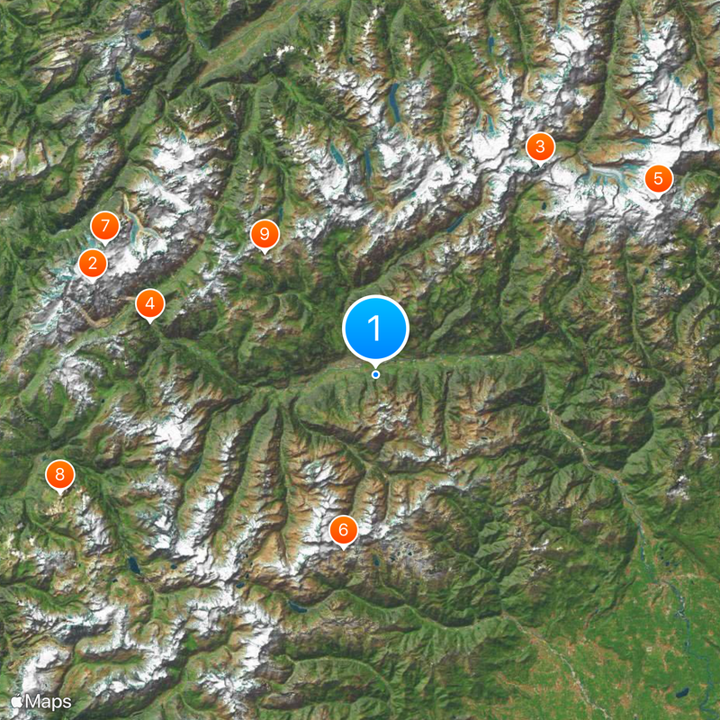
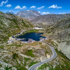
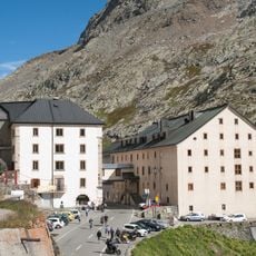
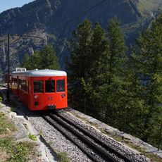
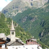
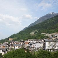
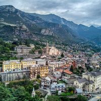
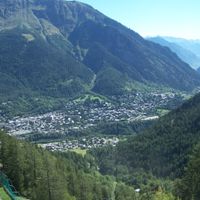
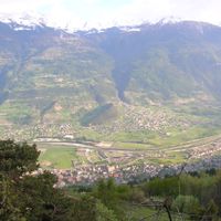
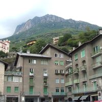
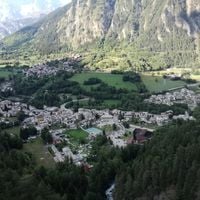
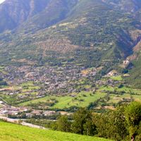
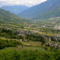
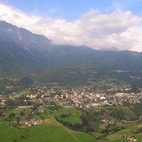
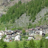
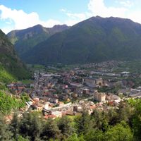
The city of Aosta serves as the central transport hub with connections to the side valleys and to the main passes into France and Switzerland. Many mountain villages sit off the main roads and require longer drives on narrow roads with hairpin bends.
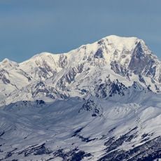
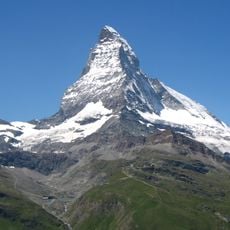
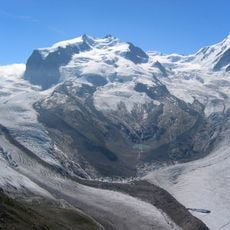
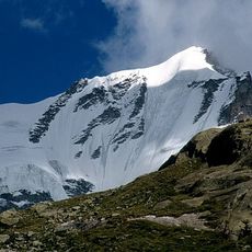
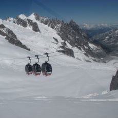
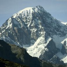
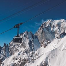
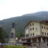
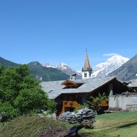
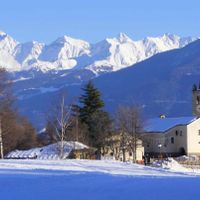
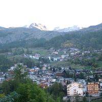
The territory received the Gold Medal of Military Valour after World War II for its resistance activities. Some of the highest peaks in the Alps, including Mont Blanc, the Matterhorn and Monte Rosa, stand at its borders.
Location: Italy
Capital city: Aosta
Elevation above the sea: 951 m
Part of: Northern Italy
Shares border with: Canton of Valais, Piedmont, Haute-Savoie, Savoie, Province of Biella, Province of Vercelli, Province of Turin, Auvergne-Rhône-Alpes
Website: https://regione.vda.it/default_f.asp
GPS coordinates: 45.71667,7.36667
Latest update: December 3, 2025 09:02
Mont Blanc
41 km
Matterhorn
36.7 km
Tour du Mont Blanc
31.9 km
Dufourspitze
45.9 km
Gran Paradiso National Park
24.2 km
Aiguille du Midi
41.3 km
Les Arcs
46.4 km
Great St Bernard Pass
22.8 km
Fort Bard
31.8 km
Mer de Glace
40 km
Gran Paradiso
23.5 km
Klein Matterhorn
37.5 km
Tignes Dam
41.9 km
Vallée Blanche Aerial Tramway
41.3 km
Grandes Jorasses
34.1 km
Savoy Castle
36.1 km
Great St Bernard Hospice
22.8 km
Plateau Rosa
37.8 km
Mont Blanc de Courmayeur
40.5 km
Skyway Monte Bianco
33.7 km
Gornergrat
43.9 km
Arch of Augustus
3.9 km
Issogne Castle
25.7 km
Val Ferret
30.8 km
Chemin de fer du Montenvers
44.5 km
Verrès Castle
26.1 km
Pointe Helbronner
36.7 km
Nordend
46.4 kmVisited this place? Tap the stars to rate it and share your experience / photos with the community! Try now! You can cancel it anytime.
Allein
Antey-Saint-André
Aosta
Arnad
Arvier
Avise
Ayas, Aosta Valley
Aymavilles
Bard, Aosta Valley
Bionaz
Brissogne
Brusson
Challand-Saint-Anselme
Challand-Saint-Victor
Chambave
Chamois, Aosta Valley
Champdepraz
Champorcher
Charvensod
Châtillon
Cogne
Courmayeur
Donnas
Doues
Émarèse
Étroubles
Fontainemore
Fénis
Gaby
Gignod
Gressan
Gressoney-La-Trinité
Gressoney-Saint-Jean
Hône
Introd
Issime
Issogne
Jovençan
La Magdeleine
La Salle, Aosta Valley
La Thuile
Lillianes
Montjovet
Morgex
Nus
Ollomont
Oyace
Perloz
Pollein
Pont-Saint-Martin, Aosta Valley
Pontboset
Pontey
Pré-Saint-Didier
Quart, Aosta Valley
Rhêmes-Notre-Dame
Rhêmes-Saint-Georges
Roisan
Saint-Christophe, Aosta Valley
Saint-Denis, Aosta Valley
Saint-Marcel, Aosta Valley
Saint-Nicolas, Aosta Valley
Saint-Oyen, Aosta Valley
Saint-Pierre
Saint-Rhémy-en-Bosses
Saint-Vincent
Sarre, Aosta Valley
Torgnon
Valgrisenche
Valpelline, Aosta Valley
Valsavarenche
Valtournenche
Verrayes
Verrès
Villeneuve, Aosta Valley
Discover hidden gems everywhere you go!
From secret cafés to breathtaking viewpoints, skip the crowded tourist spots and find places that match your style. Our app makes it easy with voice search, smart filtering, route optimization, and insider tips from travelers worldwide. Download now for the complete mobile experience.
A unique approach to discovering new places❞
— Le Figaro
All the places worth exploring❞
— France Info
A tailor-made excursion in just a few clicks❞
— 20 Minutes