Gressoney-Saint-Jean

Log in to your account

AroundUs is a community-driven map of interesting places, built by curious explorers like you. It grows with every review, story, and photo you share.
Connect to save your favorite spots, contribute locations, and create personalized routes.
By continuing, you accept our Terms and Conditions and our Privacy Policy
Add to collection
Map
Suggest a change
Share

Gressoney-Saint-Jean, Alpine municipality in Aosta Valley, Italy

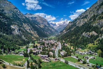
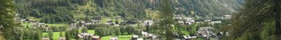
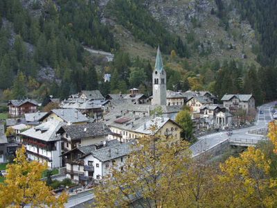
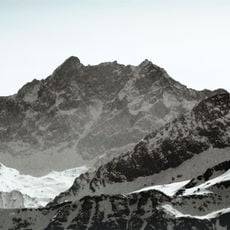
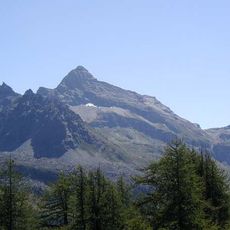
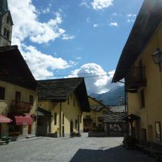
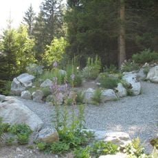
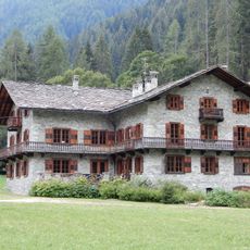
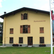
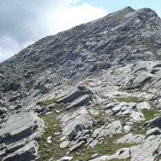
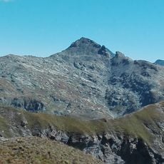
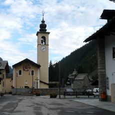
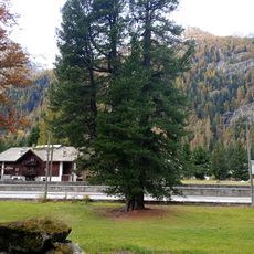
Gressoney-Saint-Jean is an alpine municipality located in a valley carved by the Lys river and ringed by the Italian Alps. The settlement sits around 1385 meters elevation and is organized along the riverbed in the mountain terrain.

The settlement was merged with Gressoney-La-Trinité to form a single municipality in 1928 and separated again in 1946 after World War II. This administrative period influenced how the community developed in the following decades.

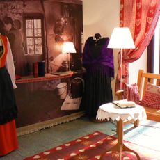
The community speaks Greschoneytitsch, a Walser dialect that remains part of everyday conversation among residents. This language connects people to their shared heritage and shapes daily interactions in the valley.

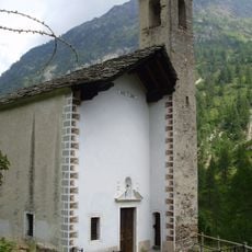
The town is best explored on foot as streets are narrow and steep, requiring steady pace at this elevation. Spring through autumn offers the most comfortable conditions for walking and visiting nearby areas.

A major flood of the Lys river in 1868 reshaped the village landscape dramatically. The reconstruction that followed determined how the settlement is organized today and visible in its current layout.

Location: Aosta Valley

Capital city: Gressoney-Saint-Jean

Elevation above the sea: 1,385 m

Shares border with: Brusson, Gressoney-La-Trinité, Rassa, Ayas, Gaby, Alagna Valsesia

Website: https://comune.gressoneystjean.ao.it

GPS coordinates: 45.78333,7.81667

Latest update: December 6, 2025 21:26

Photos
Reviews

Visited this place? Tap the stars to rate it and share your experience / photos with the community! Try now! You can cancel it anytime.

« Gressoney-Saint-Jean - Alpine municipality in Aosta Valley, Italy » is provided by Around Us (aroundus.com). Images and texts are derived from Wikimedia project under a Creative Commons license. You are allowed to copy, distribute, and modify copies of this page, under the conditions set by the license, as long as this note is clearly visible.

Discover hidden gems everywhere you go!

From secret cafés to breathtaking viewpoints, skip the crowded tourist spots and find places that match your style. Our app makes it easy with voice search, smart filtering, route optimization, and insider tips from travelers worldwide. Download now for the complete mobile experience.

Around Us App Screenshot

A unique approach to discovering new places

Le Figaro

All the places worth exploring

France Info

A tailor-made excursion in just a few clicks

20 Minutes