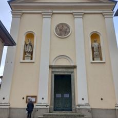
Lillianes, Italian comune
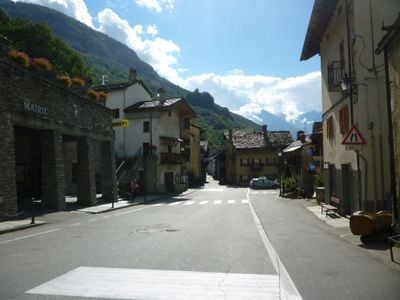
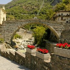
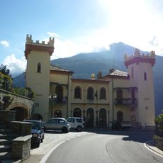
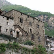
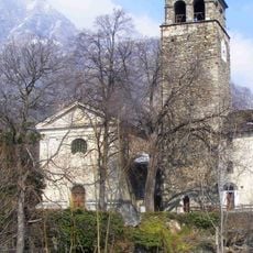
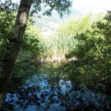
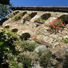
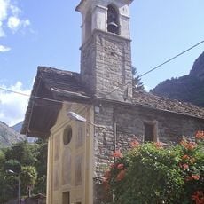
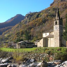
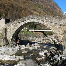
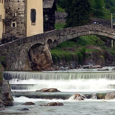
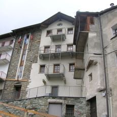
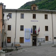
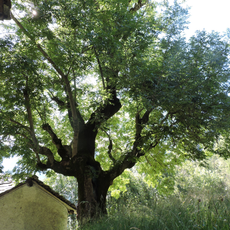
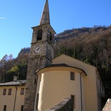
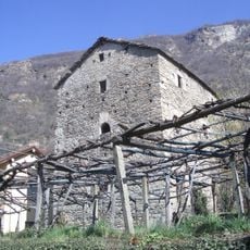
Lillianes is a small commune in the Aosta Valley, Italy, situated alongside a mountain stream in a green valley. The settlement features stone houses along narrow lanes and is crossed by several stone bridges, including a historic four-arched structure from the 1700s.
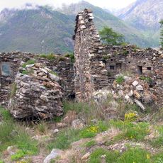
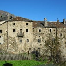
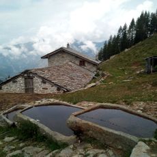
The village developed around a crossing point over the mountain stream and later experienced a gold mining era. Between 1816 and 1826, the nearby Revers Mine produced gold, bringing economic activity and change to the area before being abandoned.
Chestnuts form the heart of local identity here, with families maintaining centuries-old traditions around harvesting and cooking. The town celebrates this heritage through festivals and keeps the craft alive through cooperative efforts that connect people to their land.
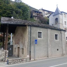
The village is easily explored on foot, with most points of interest within walking distance of each other. Visit from September to October to experience the chestnut harvest season and local festivals that bring traditional culture to life.
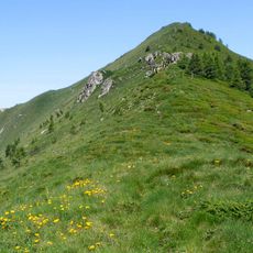
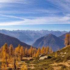
The area around Plan des Sorcières features ancient rock carvings over 4500 years old, possibly linked to star constellations like the Pleiades. These mysterious markings attract hikers curious about connections between ancient astronomy and the surrounding landscape.
The community of curious travelers
AroundUs brings together thousands of curated places, local tips, and hidden gems, enriched daily by 60,000 contributors worldwide.