Pontboset, Mountain commune in Aosta Valley, Italy
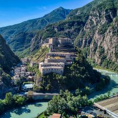
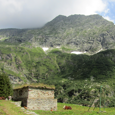
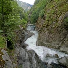
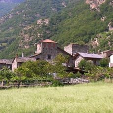
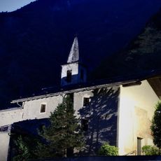
Pontboset is a mountain commune in the Aosta Valley, set along the Ayasse stream at around 780 meters above sea level. The territory covers forested slopes and rocky gorges carved by the stream, giving the area a varied and rugged landscape.
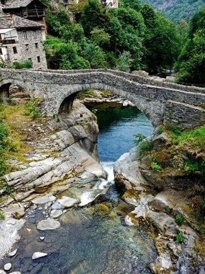
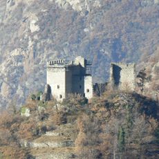
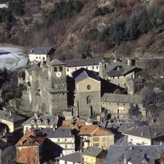
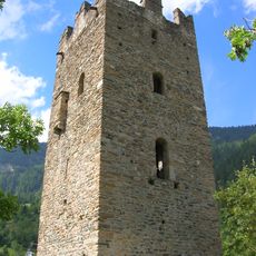
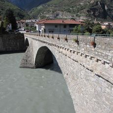
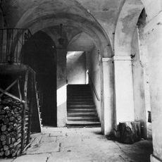
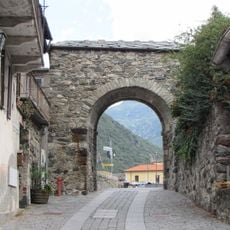
Two stone bridges were built across the Ayasse in the medieval period, turning this spot into a lasting crossing point along the valley. The territory later came under the authority of the barons of Champorcher, who governed this part of the alpine area.
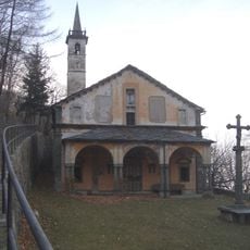
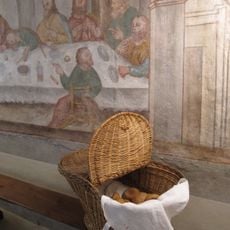
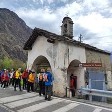
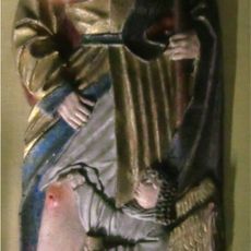
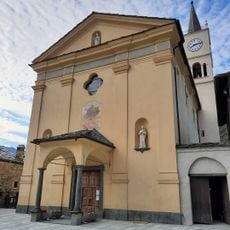
Every year on September 7, the village marks the feast of Saint Gratus with a local celebration that brings together people from across the valley. The Retempio Shrine, home to a gilded statue of the Virgin Mary, draws visitors who come on foot along the paths that cross the surrounding hills.
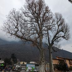
The area is best explored on foot, as the paths along the stream and through the forests are accessible to most visitors. Sturdy footwear is a good idea, since some sections near the gorges can be slippery when wet.
The Six Bridges and Ravines trail passes through chestnut forests and natural pools where river trout can be spotted. The bridges along the route date from different centuries, showing how construction techniques changed over time in this part of the valley.
The community of curious travelers
AroundUs brings together thousands of curated places, local tips, and hidden gems, enriched daily by 60,000 contributors worldwide.