Étroubles

Log in to your account

AroundUs is a community-driven map of interesting places, built by curious explorers like you. It grows with every review, story, and photo you share.
Connect to save your favorite spots, contribute locations, and create personalized routes.
Continue with Google
Continue with Apple
Continue with X
Continue with Facebook
Continue with email
By continuing, you accept our Terms and Conditions and our Privacy Policy
Create an account
Add to collection
Map
Suggest a change
Share

Étroubles, Italian comune

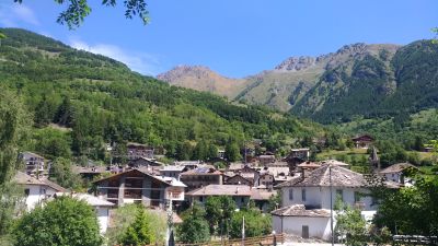
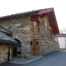
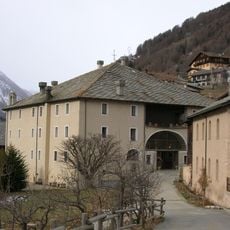
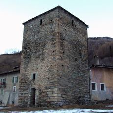
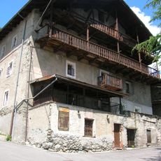
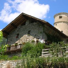
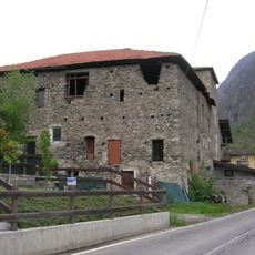
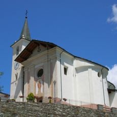
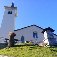
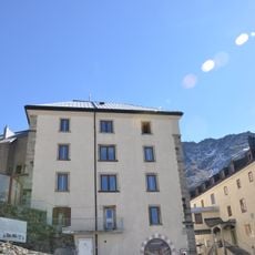
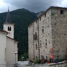
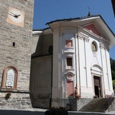
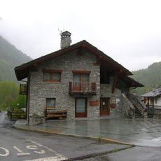
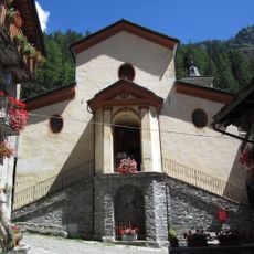
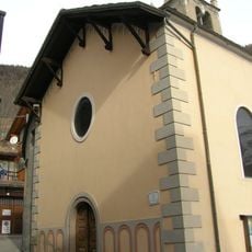
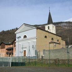
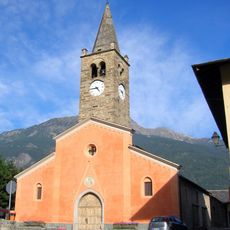
Étroubles is a small village nestled in the Aosta Valley between mountain peaks, with narrow cobbled streets and stone buildings decorated with flowered balconies. The place features a medieval church from the 12th century and several small chapels, plus a permanent outdoor art gallery with sculptures and installations by artists from around the world.

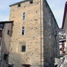
The village was originally known as Restopolis and served during Roman times as a key stop on the route to Gaul. Later, it became a central point on the Via Francigena, a major pilgrimage road connecting Rome to Jerusalem.

The name Étroubles likely comes from the local dialect, referring to fields once covered with straw. Residents keep their traditions alive, and at festivals like La Veillà, old practices such as grain threshing and cheese making are demonstrated.

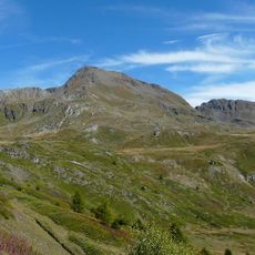
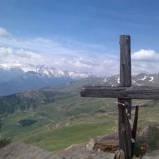
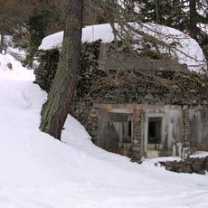
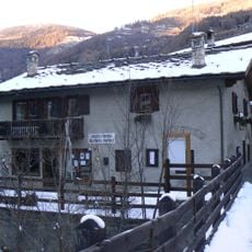
The place is easy to reach by car and offers several small shops and cafes in the village itself, with larger services available in the nearby town of Aosta. In winter, you can ski at the nearby St. Bernard area, while summer is ideal for hiking on quiet mountain trails and biking along river paths.

The village hosts the Carnival of Coumba Freida every year, where residents dress in masks and costumes resembling Napoleon's troops and parade through the streets. This playful tradition allows people to remember difficult moments from the village's past while having fun.

Location: Aosta Valley

Capital city: Étroubles

Elevation above the sea: 1,280 m

Shares border with: Doues, Gignod, Saint-Oyen, Aosta Valley, Allein, Ollomont, Bourg-Saint-Pierre

Address: Ufficio Turismo, 13 Route Nationale Du Gd. St. Bernard, Etroubles, AO 11014, 11014 Étroubles AO

Website: http://comune.etroubles.ao.it

GPS coordinates: 45.82150,7.23040

Latest update: January 14, 2026 08:33

Photos
Aosta Valley: medieval castles, Roman remains and mountain peaks

The Aosta Valley is in the northwest of Italy, between France and Switzerland. It is surrounded by peaks that are over 4000 meters high. This area mixes the history of Aosta, with its Augustan arch, ancient theater, and old gates, with a network of castles from the medieval period. Fénis Castle...

Reviews

Visited this place? Tap the stars to rate it and share your experience / photos with the community! Try now! You can cancel it anytime.

« Étroubles - Italian comune » is provided by Around Us (aroundus.com). Images and texts are derived from Wikimedia project under a Creative Commons license. You are allowed to copy, distribute, and modify copies of this page, under the conditions set by the license, as long as this note is clearly visible.

Discover hidden gems everywhere you go!

From secret cafés to breathtaking viewpoints, skip the crowded tourist spots and find places that match your style. Our app makes it easy with voice search, smart filtering, route optimization, and insider tips from travelers worldwide. Download now for the complete mobile experience.

Around Us App Screenshot

A unique approach to discovering new places

Le Figaro

All the places worth exploring

France Info

A tailor-made excursion in just a few clicks

20 Minutes