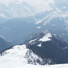
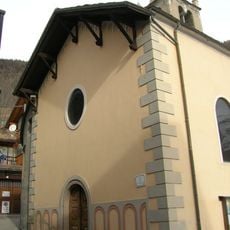
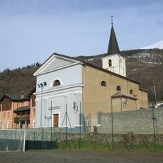
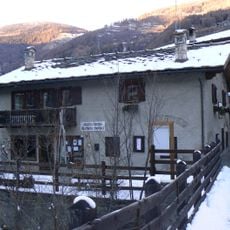
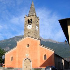
Mont Fallère, mountain summit in the Pennine Alps, Aosta Valley, Italy
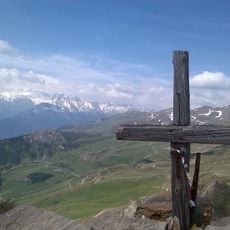
Mont Fallère is a summit reaching about 3,060 meters (10,040 feet) in the Pennine Alps. It lies at the edge between the Great St Bernard Valley and the upper Aosta Valley, with access available through several climbing routes.
The mountain is the tripoint where the comuni of Sarre, Gignod and Saint-Pierre meet, on the ridge dividing the Great St Bernard Valley from the Valdigne. It appears in official Aosta Valley regional cartography as Mont-Fallère, and in the SOIUSA alpine classification it belongs to the Gruppo del Monte Fallère (code I/B-9.I-A.2.b) in the Grand Combin Alps. Italian IGM maps cover it at 1:25,000 and 1:100,000 scales.
The mountain gives its name to the Tour du Mont Fallère, a hiking circuit traced around its slopes, and to the Rifugio Mont Fallère at 2,385 m. The summit is a tripoint: the borders of Sarre, Gignod and Saint-Pierre meet on it. The name appears in cartography both with and without the hyphen, and also as Monte Fallère.
The Rifugio Mont Fallère sits at 2,385 m, below the summit. The usual ascents start from Thouraz (1,652 m) in Sarre or from Vétan in Saint-Pierre; both routes are waymarked but call for hiking experience. The summit is a tripoint of Sarre, Gignod and Saint-Pierre, and the Tour du Mont Fallère circles the mountain past the Fallère and Mort alpine lakes.
Mont Fallère is the tripoint where the communes of Sarre, Gignod and Saint-Pierre meet, a detail most hikers crossing the summit never notice. The ridge it crowns separates the Great St Bernard Valley from the Valdigne, the upper part of the Aosta Valley.
The community of curious travelers
AroundUs brings together thousands of curated places, local tips, and hidden gems, enriched daily by 94,418 contributors worldwide.