Pré-Saint-Didier, Italian comune
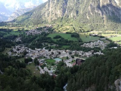
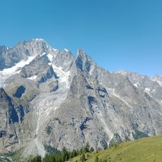
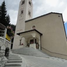
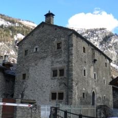
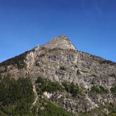
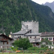
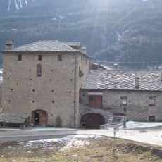
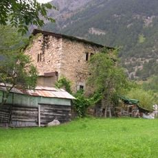
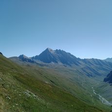
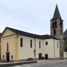
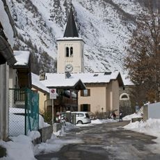
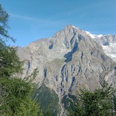
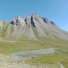
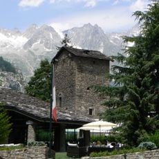
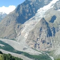
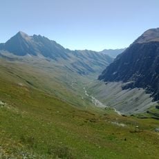
Pré-Saint-Didier is a small commune in the Aosta Valley in the Italian Alps. The settlement sits in a mountain valley surrounded by high peaks, with traditional stone buildings and narrow village streets.
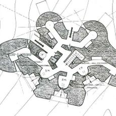
The commune developed in a mountain area long shaped by small farmers and herders. The village structure reflects its long history as an Alpine settlement built to serve the needs of mountain communities.
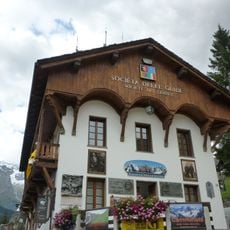
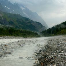
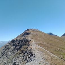
The village is best explored on foot, since roads are narrow and challenging for vehicles. Visitors should bring sturdy footwear as the terrain is hilly and can be slippery in places.
The community of curious travelers
AroundUs brings together thousands of curated places, local tips, and hidden gems, enriched daily by 60,000 contributors worldwide.