Aosta, Administrative center in Aosta Valley, Italy
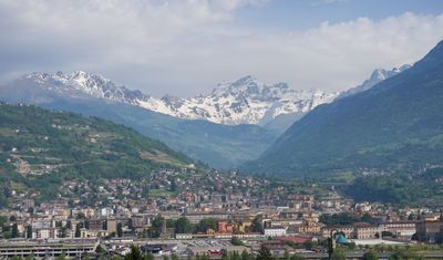
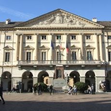
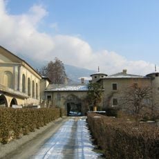
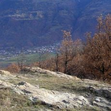
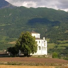
Aosta is a commune on the valley floor at 583 meters elevation, framed by Alpine peaks and located at the junction of two rivers. The city extends along a rectangular layout with streets intersecting at right angles and forming a grid of squares and low-rise buildings.
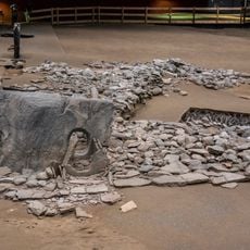
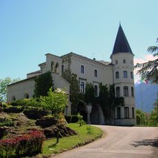
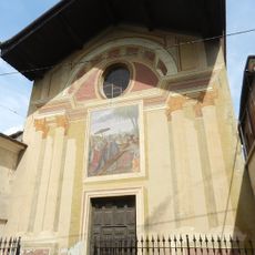
Founded in 25 BC as Augusta Praetoria Salassorum, the settlement served as a Roman military colony and strategic point on trade routes through the Alps. After Roman times, control shifted multiple times between Savoyard rulers and French influences until integration into unified Italy in the 19th century.
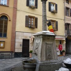
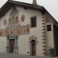
The city takes its name from the Latin Augusta and preserves a bilingual identity with Italian and French street signs throughout all neighborhoods. Locals often switch between both languages in daily life, reflecting the region's long history as a border area.
The central position offers direct access to the Mont Blanc Tunnel and the Great St Bernard Tunnel, connecting Italy with France and Switzerland. Most landmarks lie within walking distance in the compact city center, which can be explored comfortably in a single day.
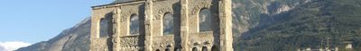
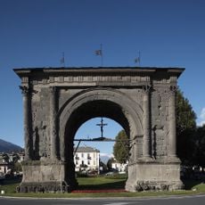
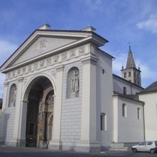
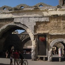
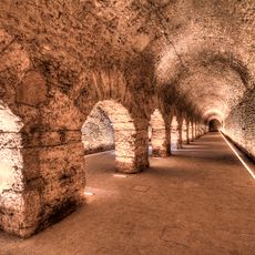
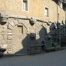
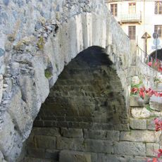
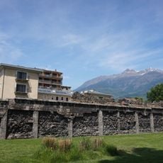
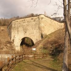
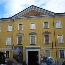
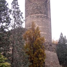
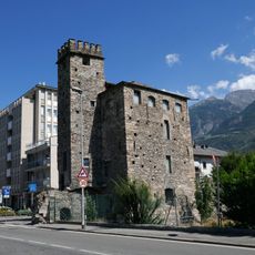
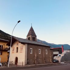
The urban grid follows the structure of an ancient Roman military camp with preserved walls, towers and a theater from the imperial period. Visitors can walk through the original first-century arch that once marked the eastern city gate and now stands in the middle of the modern street network.
The community of curious travelers
AroundUs brings together thousands of curated places, local tips, and hidden gems, enriched daily by 60,000 contributors worldwide.