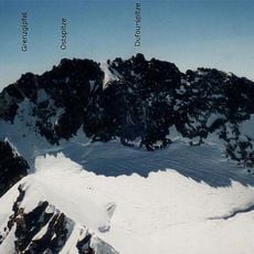
Dufourspitze, Mountain summit in Valais, Switzerland.
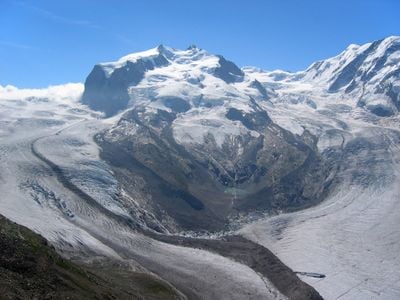
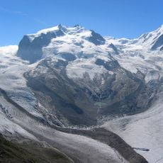
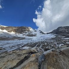
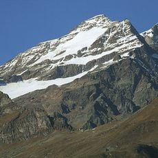
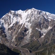
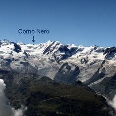
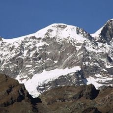
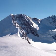
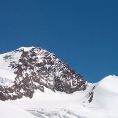
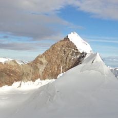
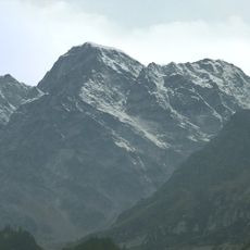
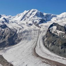
The Dufourspitze rises to 4634 meters and forms the highest point in Switzerland, surrounded by wide glacial fields and steep rock walls. The summit belongs to the Monte Rosa massif and sits on the border between Canton Valais and Italian Piedmont.
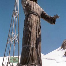
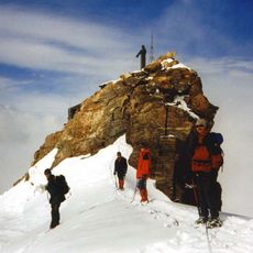
A team led by Charles Hudson and accompanied by Swiss mountain guides first reached the summit on August 1, 1855. The Swiss government renamed the peak in 1863 to honor Guillaume-Henri Dufour, who completed the first comprehensive topographical map of the country.
The summit honors Guillaume-Henri Dufour, a general who completed the first full map of the country. His cartographic work during the nineteenth century laid the foundation for modern orientation in the Swiss Alps and made this remote terrain accessible to future mountaineers.
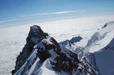
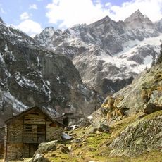
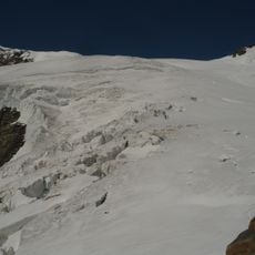
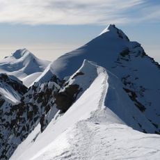
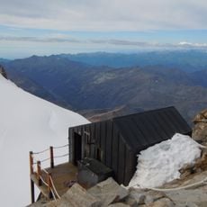
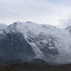
Mountaineers usually begin their climb from the Monte Rosa Hut at 2883 meters (9459 feet), which serves as the main base for the normal route. Experience walking on ice and handling alpine equipment is necessary because of the heavy glaciation along the approach.
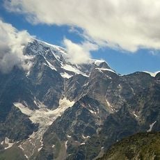
The east face drops 2600 meters (8530 feet) toward Macugnaga, forming the highest rock wall in the Alps. This dramatic descent is visible from the Italian side and shapes the silhouette of the Monte Rosa massif above the valley.
The community of curious travelers
AroundUs brings together thousands of curated places, local tips, and hidden gems, enriched daily by 60,000 contributors worldwide.