Châtillon, Italian comune
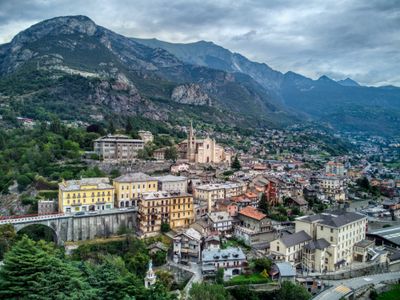
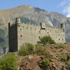
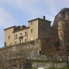
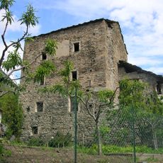
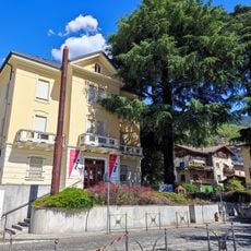
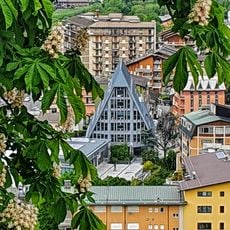
Châtillon is a small town in the Aosta Valley in northwestern Italy, set on a mountainside with stone buildings and narrow streets. The settlement spreads in a butterfly shape across the valley and is overlooked by two medieval castles, while old towers and ruins further shape its character.
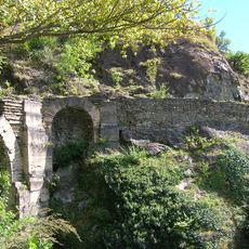
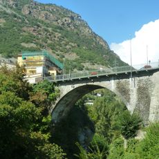
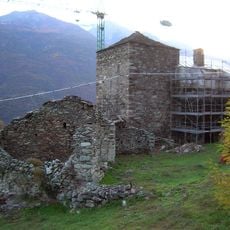
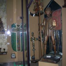
Châtillon has a long history reaching back to prehistoric times, with remains of a Roman bridge over the Marmore River still visible today. In the 13th century, the Challant family took control and built two castles that still stand above the town.
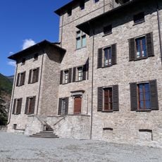
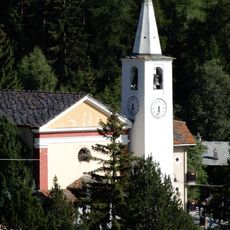
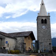
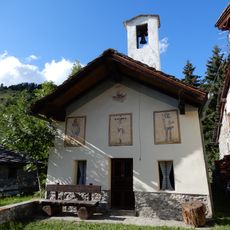
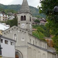
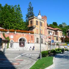
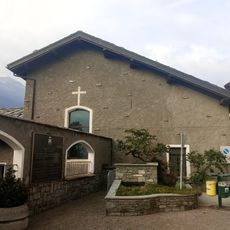
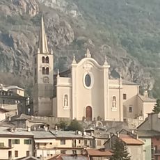
The name Châtillon comes from French and means "small castle." The Saints-Pierre-et-Paul church in the center and the Notre-Dame-de-Grâces chapel are places where locals gather, and you can see how faith shapes daily rhythms and community gatherings.
Châtillon is easily accessible by bus and train, with connections to nearby towns and larger cities like Milan. Visitors should wear comfortable shoes and allow time to explore the hilly streets and paths leading to the castles.
Marcel Bich, a member of the famous Bich family, was born here and later founded Société Bic, which popularized the modern ballpoint pen. This small mountain town played a surprising role in the writing instrument industry that touched millions of lives worldwide.
The community of curious travelers
AroundUs brings together thousands of curated places, local tips, and hidden gems, enriched daily by 60,000 contributors worldwide.