Enable Location

We need your location to show you interesting places around you

Discover nearby places

Find interesting locations and hidden gems around you

Precise directions

Get accurate directions and distances to places

Your location is never shared with other users. It's only used when you tap the location button.

Mont Tantané

Log in to your account

Start exploring — it's free

Trusted by 63,014 travelers worldwide

Continue with Google
Continue with Apple
or

We will send you a code to connect

By continuing, you accept our Terms and Conditions and our Privacy Policy

Check your inbox

We've sent a pincode in your inbox. Please enter the code below.

Mont Tantané
Discussion Reviews 1 Photos
900+ Popularity

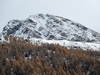
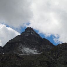
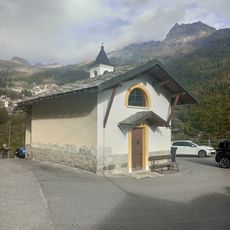
Mont Tantané, Summit in Aosta Valley, Italy

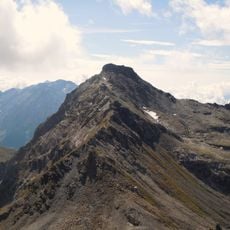
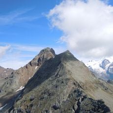
Mont Tantané reaches 2,734 meters within the Pennine Alps and is crossed by several marked hiking paths that lead across its terrain. These routes provide open views over the surrounding valleys and nearby alpine peaks.

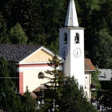
The mountain served as a navigation landmark for local communities and shepherds traversing alpine passages since ancient times. Over centuries, established climbing routes developed along these paths and are still used by mountaineers today.

Local mountain guides preserve traditional climbing knowledge and share their expertise about safe navigation techniques with younger guides in the region.

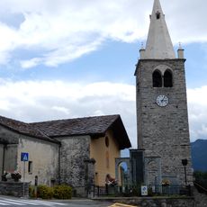
The main climbing routes begin from La Magdeleine and are marked with trail signs, with summer months offering the best conditions for safe ascending. During these warmer months the paths are most passable and weather remains more stable.

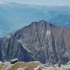
On clear days visitors can see both the Matterhorn and Monte Rosa from this summit, two of the Alps most recognizable peaks. This rare perspective makes it a special vantage point for observing multiple iconic alpine summits.

The community of curious travelers

AroundUs brings together thousands of curated places, local tips, and hidden gems, enriched daily by 60,000 contributors worldwide.

Start exploring
Location
Elevation above the sea
2,734 m
GPS coordinates
45.81677,7.64723
Latest update
December 14, 2025 20:03
Reviews
Share your experience

No review yet

Discussions
Start a discussion...

No discussion yet

« Mont Tantané - Summit in Aosta Valley, Italy » is provided by Around Us (aroundus.com). Images and texts are derived from Wikimedia project under a Creative Commons license. You are allowed to copy, distribute, and modify copies of this page, under the conditions set by the license, as long as this note is clearly visible.

Discover hidden gems everywhere you go!

From secret cafés to breathtaking viewpoints, skip the crowded tourist spots and find places that match your style. Our app makes it easy with voice search, smart filtering, route optimization, and insider tips from travelers worldwide. Download now for the complete mobile experience.

Around Us App Screenshot

A unique approach to discovering new places

Le Figaro

All the places worth exploring

France Info

A tailor-made excursion in just a few clicks

20 Minutes

Around Us
Travel Guide & Maps
Download

Send to your phone

QR Code
1

Open the camera app on your mobile.

2

Point at the QR code with your camera. A notification will appear.

3

Tap the notification to open the link.