Matterhorn

Log in to your account

AroundUs is a community-driven map of interesting places, built by curious explorers like you. It grows with every review, story, and photo you share.
Connect to save your favorite spots, contribute locations, and create personalized routes.
Continue with Google
Continue with Apple
Continue with X
Continue with Facebook
Continue with email
By continuing, you accept our Terms and Conditions and our Privacy Policy
Create an account
Add to collection
Map
Suggest a change
Share

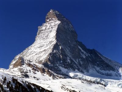
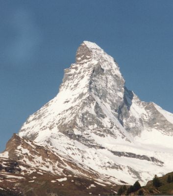
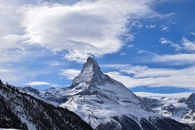
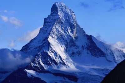
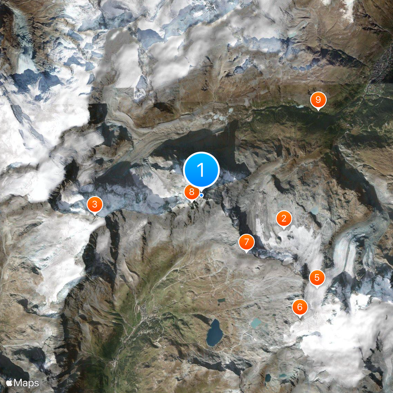
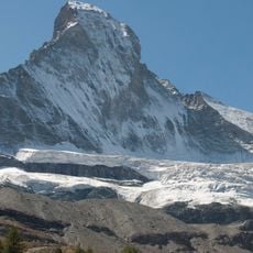
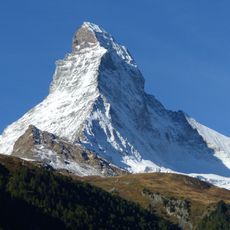
Matterhorn, Alpine mountain at Swiss-Italian border.

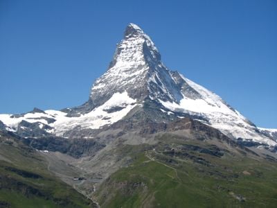
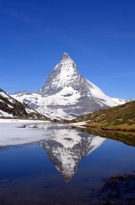
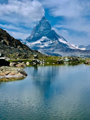
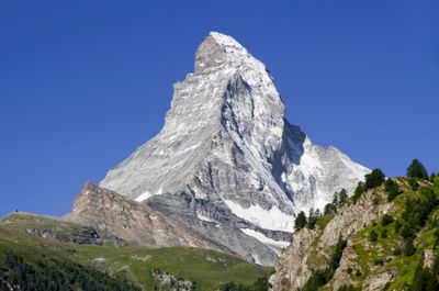
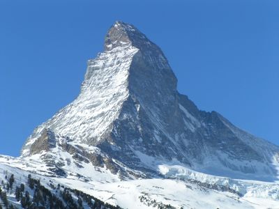
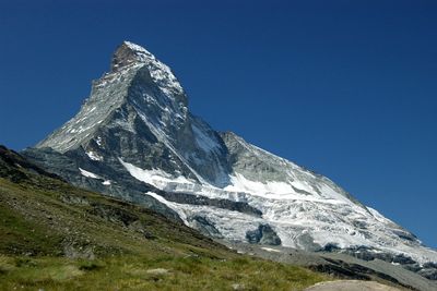
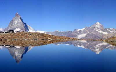
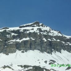
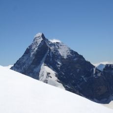
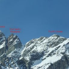
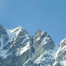
The Matterhorn stands 4478 meters tall on the border between Switzerland and Italy, forming a near-perfect pyramid with four steep faces above the valleys of Zermatt and Breuil-Cervinia. Its north face drops directly over Zermatt, while the south face looks toward Italy, and both sides show bare rock with narrow ridges leading to the summit.

Edward Whymper led the first successful ascent in July 1865, though the expedition ended in tragedy when four climbers died during the descent. The disaster sparked debate over the dangers of mountaineering and turned the peak into a symbol of the risks that come with climbing.

Mountain guides in Zermatt and Breuil-Cervinia pass down knowledge of the routes through family lines that stretch back more than a century. You can still see the old ropes and tools in local mountaineering museums, where villagers share stories of the early expeditions.

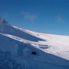
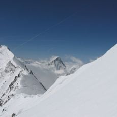
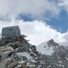
The climbing season runs from mid-June through mid-September, when conditions are most stable and the mountain huts remain open. The two main routes begin at Hörnli Hut on the Swiss side and Carrel Hut on the Italian side, both requiring technical skill and acclimatization.

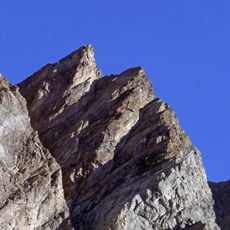
The rock consists of African layers pushed on top of European plates, and this geological structure becomes visible during the climb through different rock colors. Researchers found that the upper sections were once part of a distant continent that migrated here millions of years ago.

Location: Canton of Valais

Location: Aosta Valley

Elevation above the sea: 4,478 m

Made from material: metamorphic rock

Part of: Italy–Switzerland border

Address: Matterhorn

GPS coordinates: 45.97643,7.65860

Latest update: December 14, 2025 22:38

Photos
Natural sites of the Alps: lakes, gorges, and peaks to discover

The Alps offer a wide range of natural landscapes. You find mountain lakes with clear waters, like the Eibsee in Bavaria or the Sorapis Lake in the Dolomites, gorges carved by torrents like the Partnach Gorge or the Cirque of Sixt-Fer-à-Cheval, and stunning rocky peaks such as the Tre Cime di...

Reviews

Visited this place? Tap the stars to rate it and share your experience / photos with the community! Try now! You can cancel it anytime.

« Matterhorn - Alpine mountain at Swiss-Italian border » is provided by Around Us (aroundus.com). Images and texts are derived from Wikimedia project under a Creative Commons license. You are allowed to copy, distribute, and modify copies of this page, under the conditions set by the license, as long as this note is clearly visible.

Discover hidden gems everywhere you go!

From secret cafés to breathtaking viewpoints, skip the crowded tourist spots and find places that match your style. Our app makes it easy with voice search, smart filtering, route optimization, and insider tips from travelers worldwide. Download now for the complete mobile experience.

Around Us App Screenshot

A unique approach to discovering new places

Le Figaro

All the places worth exploring

France Info

A tailor-made excursion in just a few clicks

20 Minutes