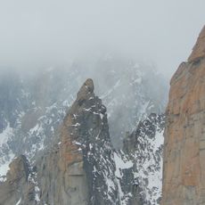
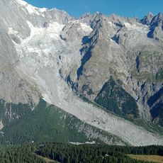
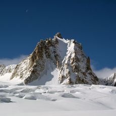
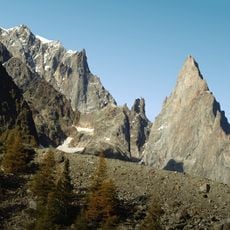
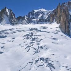
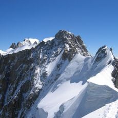
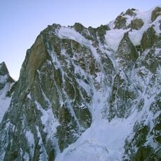
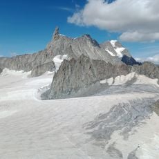
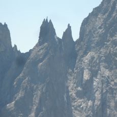
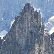
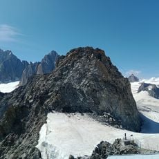
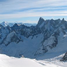
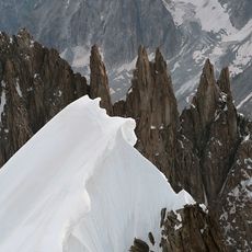
Aiguille de Toule, Mountain summit at France-Italy border, Chamonix-Mont-Blanc and Courmayeur.
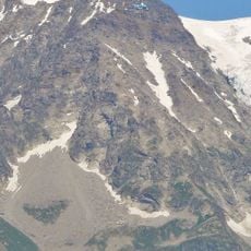
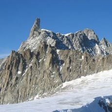
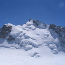
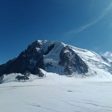
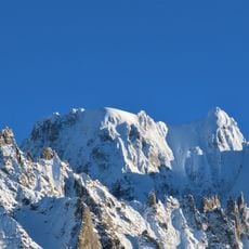
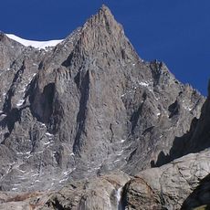
Aiguille de Toule is a mountain summit in the Mont Blanc massif located at the France-Italy border, rising to 3538 meters. The peak features steep rock faces and permanent snow cover on its upper sections.
The first ascent was made on 10 August 1895 by Giovanni Bobba, Luigi Vaccarone, Casimiro Thérisod and Pietro Re Fiorentin. The peak sits on the frontier ridge descending eastwards from Mont Blanc, between the Col Orientale de Toule and the Col Occidental de Toule.
The name comes from the local dialect word toula, meaning a rectangular meadow or pasture; the Toules d'amon and Toules desò graze the Italian side, separated by a band of rock. The peak is also called Aiguille de Toula or Aiguille des Toules.
The usual approach is from the Torino Hut/Pointe Helbronner, reached by the Skyway Monte Bianco from Courmayeur; the Aiguille du Midi cable car in Chamonix is not the standard start. The easiest ascent is the east face, a mixed rock and snow route graded F+/PD-. Crampons and an ice axe are needed on the snow and ice.
The name comes from the local dialect word toula, meaning a rectangular meadow or pasture; on the Italian side, separated by a rocky band, lie the Toules d'amon (upper pastures) and Toules desò (lower pastures). The easiest ascent is the east face, a mixed rock and snow route graded F+/PD-.
The community of curious travelers
AroundUs brings together thousands of curated places, local tips, and hidden gems, enriched daily by 93,896 contributors worldwide.