Enable Location

We need your location to show you interesting places around you

Discover nearby places

Find interesting locations and hidden gems around you

Precise directions

Get accurate directions and distances to places

Your location is never shared with other users. It's only used when you tap the location button.

Aiguille de Rochefort

Log in to your account

Start exploring — it's free

Trusted by 63,007 travelers worldwide

Continue with Google
Continue with Apple
or

We will send you a code to connect

By continuing, you accept our Terms and Conditions and our Privacy Policy

Check your inbox

We've sent a pincode in your inbox. Please enter the code below.

Aiguille de Rochefort
Discussion Reviews 1 Photos
2.2k Popularity

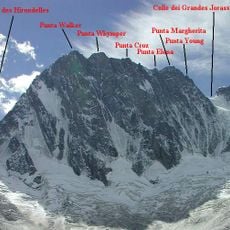
Aiguille de Rochefort, Mountain summit in Haute-Savoie, France

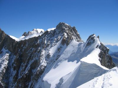
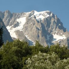
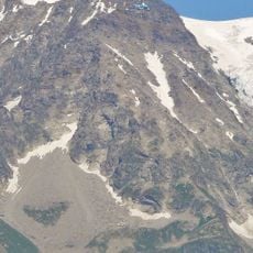
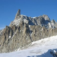
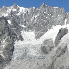
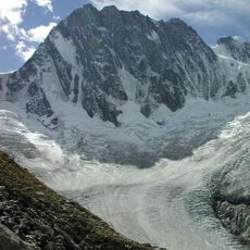
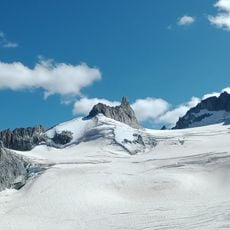
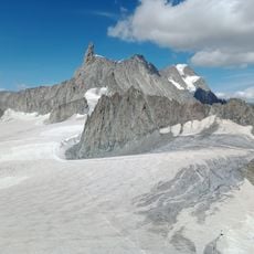
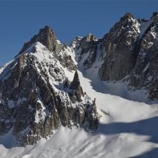
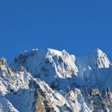
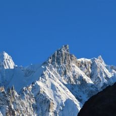
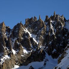
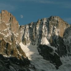
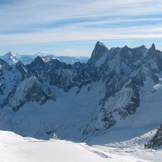
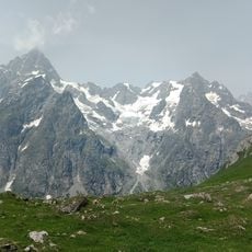
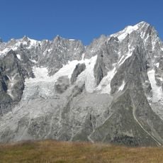
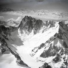
Aiguille de Rochefort rises to 4001 meters on the France-Italy border, displaying granite formations and steep rock faces within the Mont Blanc massif. The mountain is defined by extended rocky ridges that connect multiple peaks and offer striking views across both Alpine territories.

Edward Whymper and his climbing team accomplished the first recorded ascent in 1864, establishing its importance in Alpine mountaineering history. This feat marked a key milestone in opening up challenging routes throughout the Mont Blanc massif.

The summit draws climbers from both nations who come to test their mountaineering skills. It serves as a gathering place for those seeking to challenge themselves on Alpine routes that define the region's climbing tradition.

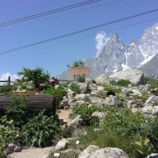
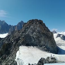
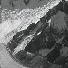
Access begins from Chamonix, with the Torino Hut serving as a base camp for climbers. Good weather conditions are essential since conditions at this altitude can change quickly and affect climbing difficulty.

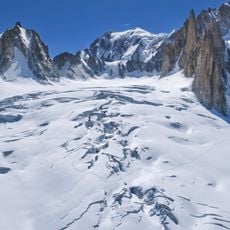
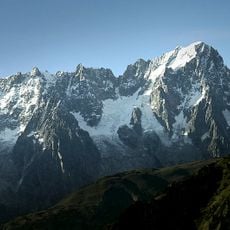
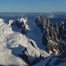
The Rochefort arête is not simply one peak but a system of connected rocky ridges that form a technical climbing route. This multi-peak structure appeals especially to experienced mountaineers seeking to combine several climbing challenges in a single expedition.

The community of curious travelers

AroundUs brings together thousands of curated places, local tips, and hidden gems, enriched daily by 60,000 contributors worldwide.

Start exploring
Location
Elevation above the sea
4,001 m
Part of
France–Italy border
GPS coordinates
45.86210,6.95997
Latest update
December 13, 2025 12:20
Reviews
Share your experience

No review yet

Discussions
Start a discussion...

No discussion yet

« Aiguille de Rochefort - Mountain summit in Haute-Savoie, France » is provided by Around Us (aroundus.com). Images and texts are derived from Wikimedia project under a Creative Commons license. You are allowed to copy, distribute, and modify copies of this page, under the conditions set by the license, as long as this note is clearly visible.

Discover hidden gems everywhere you go!

From secret cafés to breathtaking viewpoints, skip the crowded tourist spots and find places that match your style. Our app makes it easy with voice search, smart filtering, route optimization, and insider tips from travelers worldwide. Download now for the complete mobile experience.

Around Us App Screenshot

A unique approach to discovering new places

Le Figaro

All the places worth exploring

France Info

A tailor-made excursion in just a few clicks

20 Minutes

Around Us
Travel Guide & Maps
Download

Send to your phone

QR Code
1

Open the camera app on your mobile.

2

Point at the QR code with your camera. A notification will appear.

3

Tap the notification to open the link.