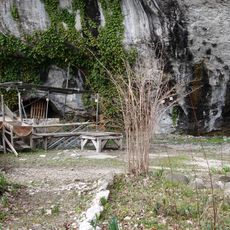
Glières Plateau, Historic site and mountain pasture near La Balme-de-Thuy, France
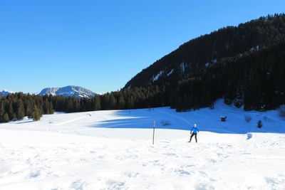
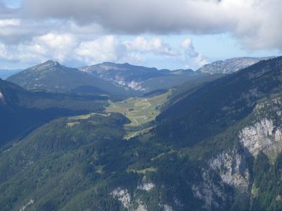
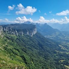
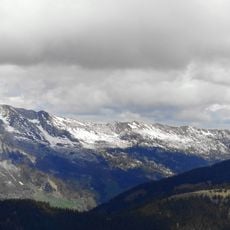
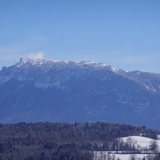
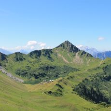
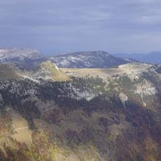
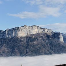
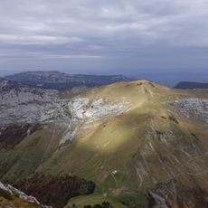
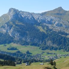
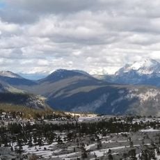
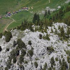
Glières Plateau is a limestone formation at about 1,440 meters elevation featuring open mountain meadows interspersed with alpine forest. The terrain includes multiple hiking routes across varied landscape with gentle slopes and forested sections.
This location served as a gathering point for French Resistance fighters in 1944 who awaited supply drops from Allied aircraft. A German military assault occurred here in March, resulting in significant combat on the plateau.
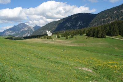
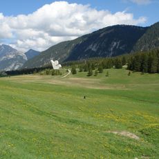
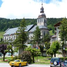
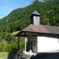
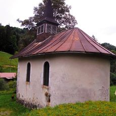
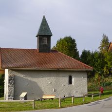
The monument at the center marks this location as a place of remembrance for those who fought against occupation. Local communities continue to recognize this site as a meaningful historical landmark in their region.
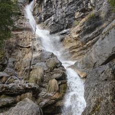
Access to the plateau is possible through several marked paths, though the ascent requires moderate to strenuous physical effort depending on your chosen route. Weather conditions change quickly at this elevation, so appropriate gear and an early start are advisable.
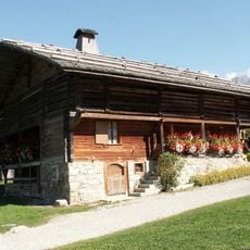
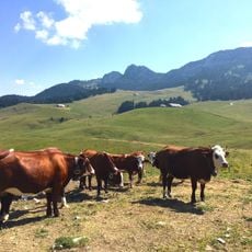
The plateau is home to diverse alpine plants and animals while simultaneously serving as traditional grazing ground for local dairy herds. This dual use as both a protected natural area and working farmland creates a rarely seen ecological balance.
Location: La Balme-de-Thuy
Location: Fillière
Location: Glières-Val-de-Borne
Elevation above the sea: 1,400 m
Made from material: sedimentary rock
Address: Glières Plateau, 74130 Glières-Val-de-Borne, France
Phone: 0450224563
Email: glieres@haute-savoie-nordic.com
Website: https://domainenordiquedesglieres.com
GPS coordinates: 45.96500,6.33389
Latest update: December 6, 2025 22:05
Le Parmelan
7.6 km
Monument national à la Résistance du plateau des Glières
24 m
Château de Thorens
6.8 km
Abbaye d'Entremont
4.2 km
Mont Lachat
4.4 km
Montagne de Sous-Dine
4.4 km
Église Notre-Dame-de-Tous-les-Saints d'Entremont
4.2 km
Aiguille Verte
7.9 km
Église Notre-Dame-de-l'Assomption du Grand-Bornand
7.7 km
Maison du patrimoine bornandin
8 km
Montagne des Auges
2.1 km
Mont Teret
7.9 km
Vieille église
8 km
Pointe de la Queblette
3.1 km
Presbytère du Petit-Bornand-les-Glières
6.4 km
Roc des Tours
7.2 km
Montagne Des Frêtes
1.5 km
Cascade de Morette
7.9 km
Home of the Plateau of Glières
512 m
Maison du patrimoine bornandin
8 km
Chapelle Notre-Dame-de-la-Pitié-et-Saint-Claude des Contamines
4.2 km
Chapelle Sainte-Renée de Beffay
7.6 km
Chalets de Mayse
6.9 km
Chapelle Saint-Claude de Forgeassoud
6.6 km
Chapelle Saint-François de Sales
6.7 km
Chapelle Notre-Dame de la Rivière
4.6 km
Chapelle Saint-François-de-Sales du Regard
3.5 km
Chapelle Notre-Dame-des-Neiges de Plateau des Glières
3.3 kmVisited this place? Tap the stars to rate it and share your experience / photos with the community! Try now! You can cancel it anytime.
Discover hidden gems everywhere you go!
From secret cafés to breathtaking viewpoints, skip the crowded tourist spots and find places that match your style. Our app makes it easy with voice search, smart filtering, route optimization, and insider tips from travelers worldwide. Download now for the complete mobile experience.
A unique approach to discovering new places❞
— Le Figaro
All the places worth exploring❞
— France Info
A tailor-made excursion in just a few clicks❞
— 20 Minutes