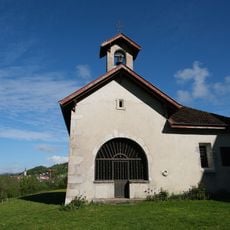
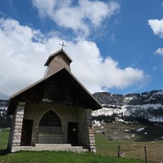
Le Parmelan, Mountain summit in Haute-Savoie, France.
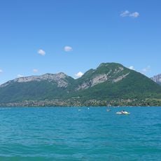
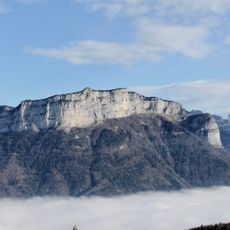
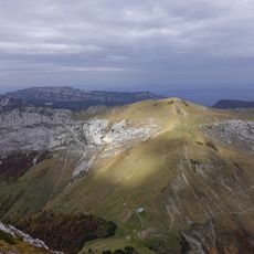
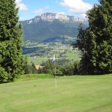
Le Parmelan is a limestone plateau between 1,600 and 1,800 metres in altitude, edged by cliffs on its north, west and south sides and culminating at 1,856 metres on its south-western cliff. Its broad, pale grey summit crest is split into adjoining blocks by shallow clefts, with snow lingering in the crevices. Dark forest covers the slopes below the rock face.
The Parmelan's limestone plateau and its caves have long been explored; the Bunant network, with 33.5 km of galleries and 17 entrances, and the Diau network, over 45 km long with 16 entrances, are major karst systems beneath it. On the night of 20–21 November 1996, witnesses heard a dull noise as far as Annecy and saw a white flash; gendarmes from Thônes confirmed red lights and a bang, but no ground trace was ever found.
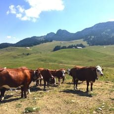
The name Parmelan probably comes from Celtic medio-lanon, "full centre", with an intensive par-; linguist Xavier Delamarre suggests such Melan names marked sacred Gaulish centres. At the tête du Parmelan, the CAF d'Annecy's refuge Camille Dunant stands beside a paraglider take-off site. Pastures are absent from the summit plateau because of the karstic ground, except near the chalet de l'Anglettaz and the montagne de la Foge.
The usual ascent starts where the forest road ends on the western slope, leading to the Tête du Parmelan and the Camille Dunant refuge. The path is easy, even for children, and gives views over Annecy and the Dingy defile. The true high point, 1,856 m, lies on the south-western cliff, 24 m above the Tête.
The summit often taken for the highest point is the Tête du Parmelan at 1,832 m, where the Camille Dunant refuge and a paraglider launch site stand; the true high point, 24 m higher at 1,856 m, lies on the south-western cliff above the hamlet of la Blonnière.
The community of curious travelers
AroundUs brings together thousands of curated places, local tips, and hidden gems, enriched daily by 93,528 contributors worldwide.