Enable Location

We need your location to show you interesting places around you

Discover nearby places

Find interesting locations and hidden gems around you

Precise directions

Get accurate directions and distances to places

Your location is never shared with other users. It's only used when you tap the location button.

Mont Teret

Log in to your account

Start exploring — it's free

Trusted by 63,070 travelers worldwide

Continue with Google
Continue with Apple
or

We will send you a code to connect

By continuing, you accept our Terms and Conditions and our Privacy Policy

Check your inbox

We've sent a pincode in your inbox. Please enter the code below.

Mont Teret
Discussion Reviews 1 Photos
400+ Popularity

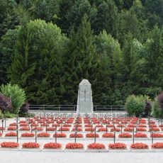
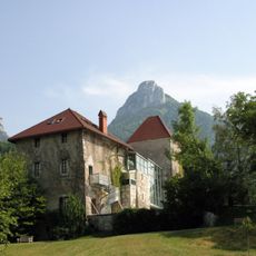
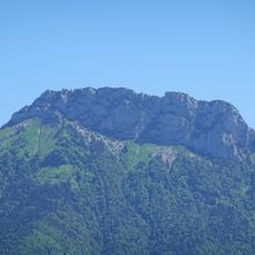
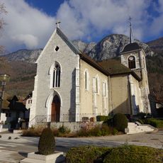
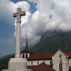
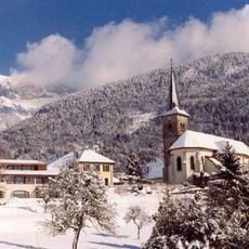
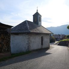
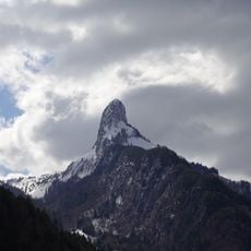
Mont Teret, Mountain summit in Dingy-Saint-Clair, France.

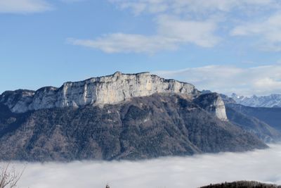
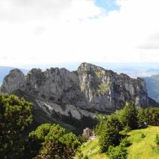
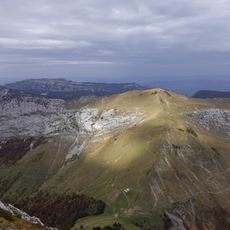
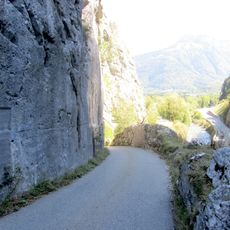
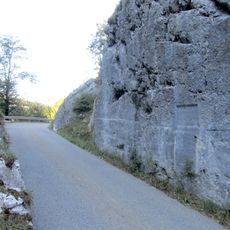
Mont Teret is a summit in the French Alps standing at 1797 meters, marked by limestone cliffs and thick forest cover along its slopes. The mountain features extensive high plateaus with grassy flanks that define its overall character.

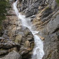
The rock composing this peak formed millions of years ago through geological processes that created its distinctive ridges and cliff patterns. These deep layers of time still shape the visible structure you see today.

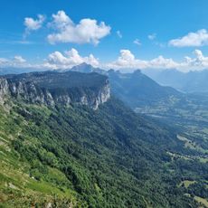
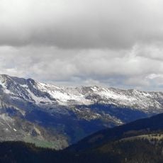
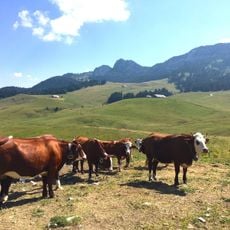
The footpaths crossing the slopes reflect how shepherds still move their herds seasonally through these highlands following ancestral routes. This pastoral tradition shapes how the land is used and managed throughout the year.

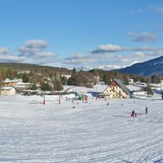
Well-marked trails begin from multiple starting points and lead upward through forests and alpine meadows to reach the top. Starting early in the day gives you enough daylight, and bringing layers is wise since weather changes quickly at this elevation.

The limestone plateau beneath the peak is pockmarked with cavities that form an extensive underground network lying just below the surface. This hidden geology surprises many hikers who explore the summit area.

The community of curious travelers

AroundUs brings together thousands of curated places, local tips, and hidden gems, enriched daily by 60,000 contributors worldwide.

Start exploring
Location
Elevation above the sea
1,797 m
GPS coordinates
45.91583,6.25965
Latest update
December 14, 2025 20:25
Reviews
Share your experience

No review yet

Discussions
Start a discussion...

No discussion yet

« Mont Teret - Mountain summit in Dingy-Saint-Clair, France » is provided by Around Us (aroundus.com). Images and texts are derived from Wikimedia project under a Creative Commons license. You are allowed to copy, distribute, and modify copies of this page, under the conditions set by the license, as long as this note is clearly visible.

Discover hidden gems everywhere you go!

From secret cafés to breathtaking viewpoints, skip the crowded tourist spots and find places that match your style. Our app makes it easy with voice search, smart filtering, route optimization, and insider tips from travelers worldwide. Download now for the complete mobile experience.

Around Us App Screenshot

A unique approach to discovering new places

Le Figaro

All the places worth exploring

France Info

A tailor-made excursion in just a few clicks

20 Minutes

Around Us
Travel Guide & Maps
Download

Send to your phone

QR Code
1

Open the camera app on your mobile.

2

Point at the QR code with your camera. A notification will appear.

3

Tap the notification to open the link.