Enable Location

We need your location to show you interesting places around you

Discover nearby places

Find interesting locations and hidden gems around you

Precise directions

Get accurate directions and distances to places

Your location is never shared with other users. It's only used when you tap the location button.

Route des Grandes Alpes

Log in to your account

Start exploring — it's free

Trusted by 61,340 travelers worldwide

Continue with Google
Continue with Apple
or

We will send you a code to connect

By continuing, you accept our Terms and Conditions and our Privacy Policy

Check your inbox

We've sent a pincode in your inbox. Please enter the code below.

Route des Grandes Alpes

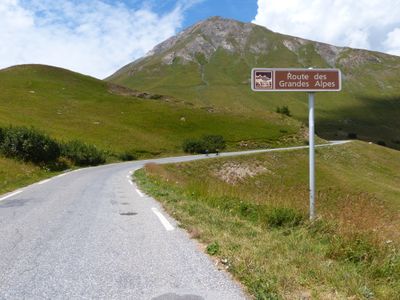
Route des Grandes Alpes, Scenic route from Lake Geneva to Mediterranean Sea, France.

Description

The Route des Grandes Alpes is a road connection between Lake Geneva and the Mediterranean coast that runs over seven hundred kilometers and crosses seventeen mountain passes. The route links Thonon-les-Bains on the shore of Lake Geneva to Nice on the southern coast, passing through six departments of the French Alps.

History

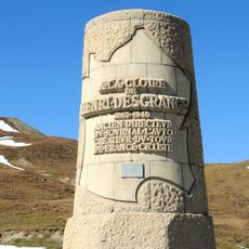
The Touring Club de France began building this alpine connection in 1909 to link northern and southern valleys along a continuous route. Work continued until 1937, when the final pass road was completed and the entire route became drivable.

Culture

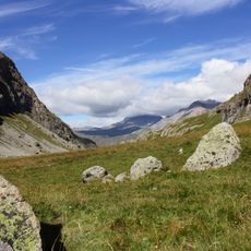
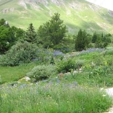
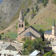
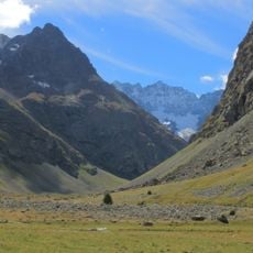
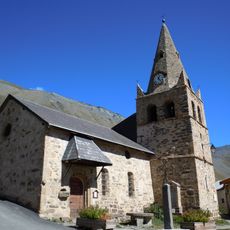
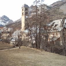
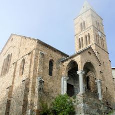
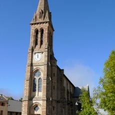
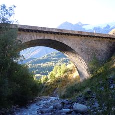
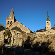
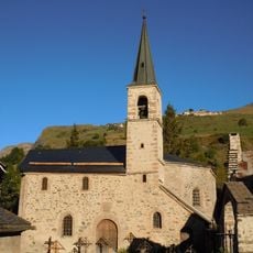
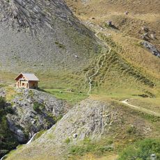
The route passes through numerous alpine villages where travelers can discover traditional mountain architecture, regional gastronomy, and local customs of the French Alps.

Practical

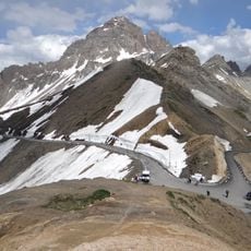
The highest passes usually open in June and remain accessible until October, depending on snow conditions and weather patterns. Current information about road status and driving conditions should be checked before setting out, as some sections may close on short notice.

Did you know?

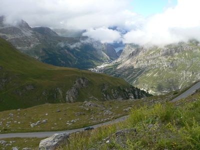
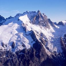
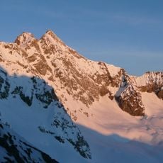
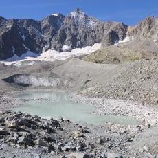
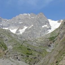
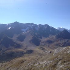
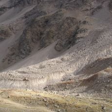
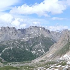
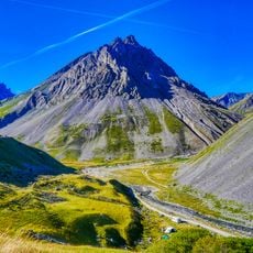
The Col de l'Iseran at 2770 meters is the highest paved alpine pass in Europe, offering travelers a view across surrounding glaciers and summits from its crest. At this point, visitors cross between the watersheds of the Rhône to the north and the Durance to the south.

Location
Location
Location
Location
Location
GPS coordinates
45.45392,7.03977
Latest update
December 14, 2025 20:53

AroundUs brings together thousands of curated places, local tips, and hidden gems, enriched daily by 60,000 contributors worldwide. Discover all places nearby (Haute-Savoie).

Motorcycle routes in France: Alpine passes, coastal roads, and historic circuits

France offers motorcyclists a diverse landscape, from Alpine peaks to Mediterranean coasts, including wine regions. The country is suitable for all riding styles, with demanding mountain roads, winding coastal routes, and rural paths. Key routes include the Col de la Bonette, reaching 2802 meters...

« Route des Grandes Alpes - Scenic route from Lake Geneva to Mediterranean Sea, France » is provided by Around Us (aroundus.com). Images and texts are derived from Wikimedia project under a Creative Commons license. You are allowed to copy, distribute, and modify copies of this page, under the conditions set by the license, as long as this note is clearly visible.

Discover hidden gems everywhere you go!

From secret cafés to breathtaking viewpoints, skip the crowded tourist spots and find places that match your style. Our app makes it easy with voice search, smart filtering, route optimization, and insider tips from travelers worldwide. Download now for the complete mobile experience.

Around Us App Screenshot

A unique approach to discovering new places

Le Figaro

All the places worth exploring

France Info

A tailor-made excursion in just a few clicks

20 Minutes

Around Us
Travel Guide & Maps
Download

Send to your phone

QR Code
1

Open the camera app on your mobile.

2

Point at the QR code with your camera. A notification will appear.

3

Tap the notification to open the link.