Alpes-de-Haute-Provence
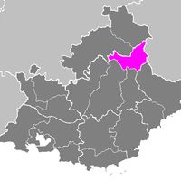
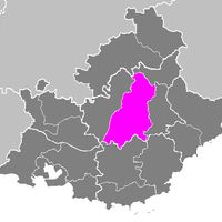
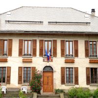
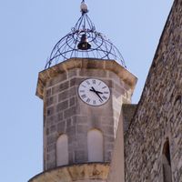
Alpes-de-Haute-Provence, Department of France in Provence-Alpes-Côte d'Azur, France
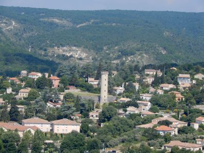
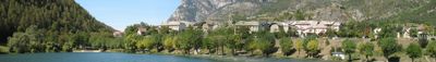
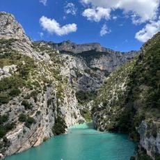
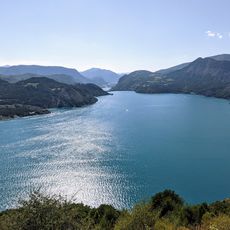
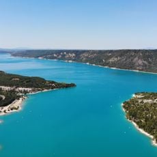
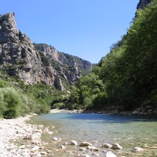
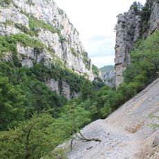
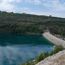
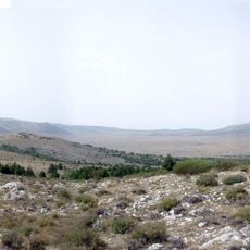
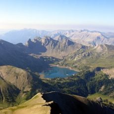
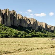
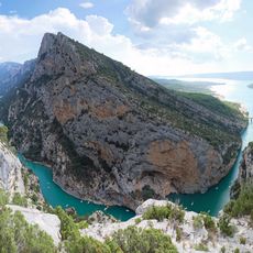
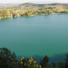
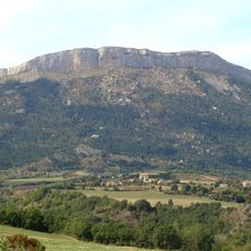
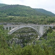
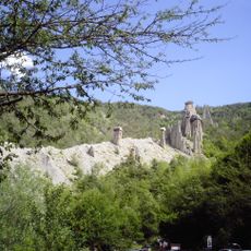
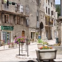
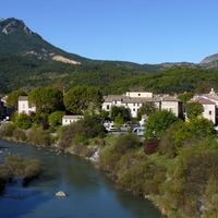
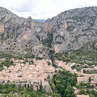
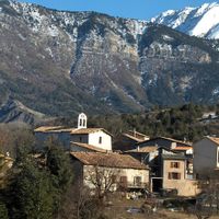
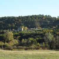
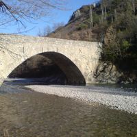
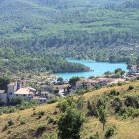
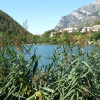
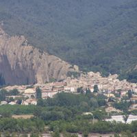
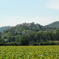
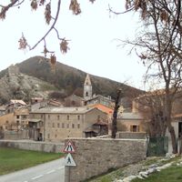
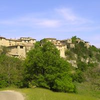
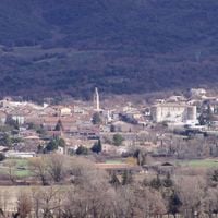
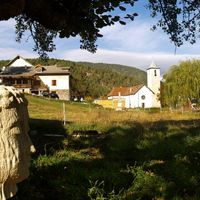
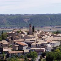
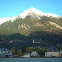
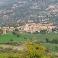
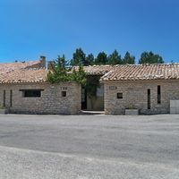
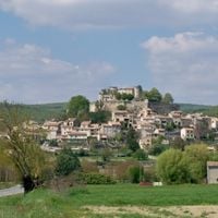
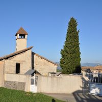
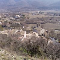
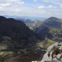
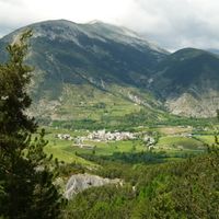
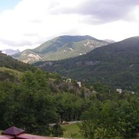
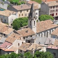
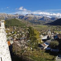
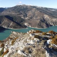
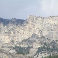
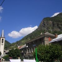
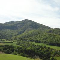
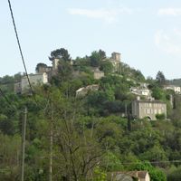
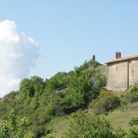
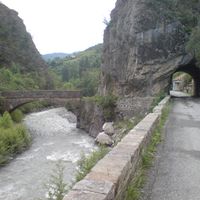
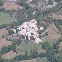
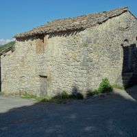
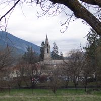
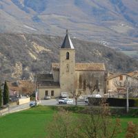
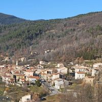
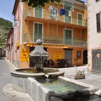
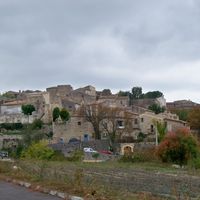
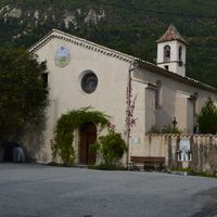
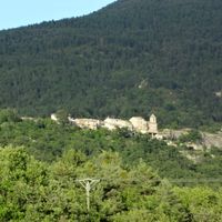
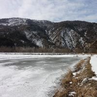
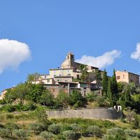
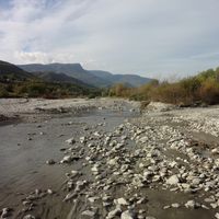
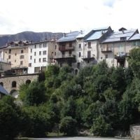
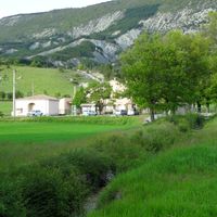
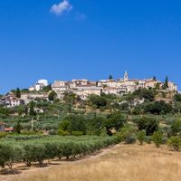
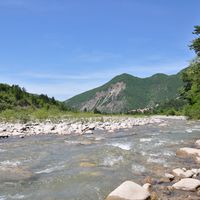
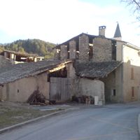
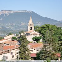
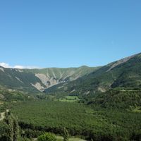
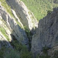
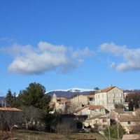
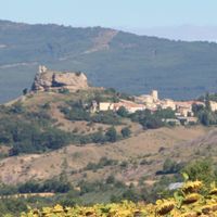
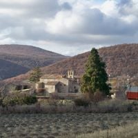
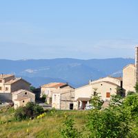
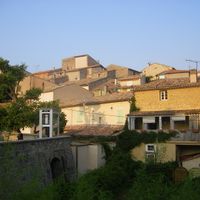
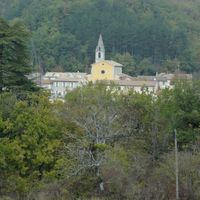
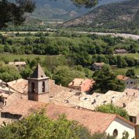
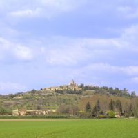
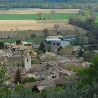
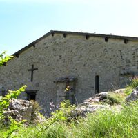
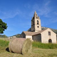
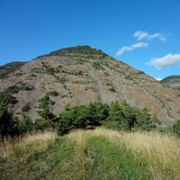
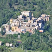
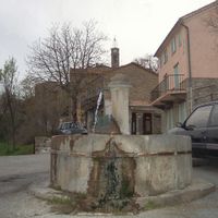
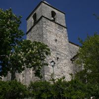
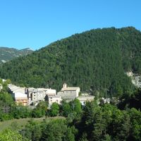
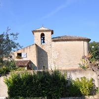
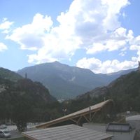
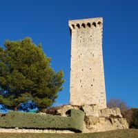
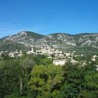
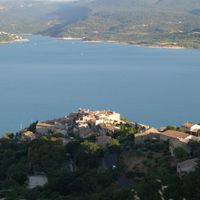
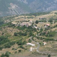
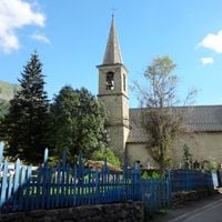
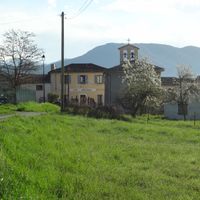
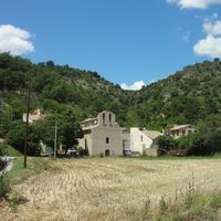
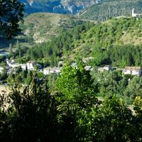
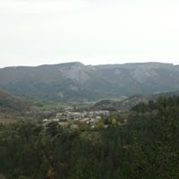
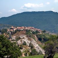
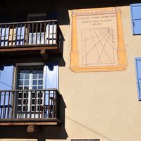
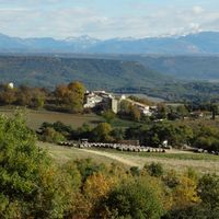
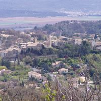
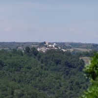
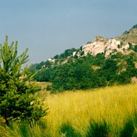
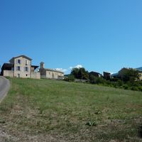
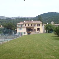
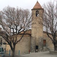
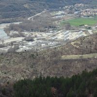
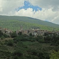
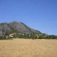
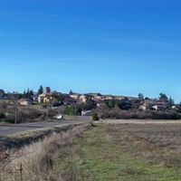
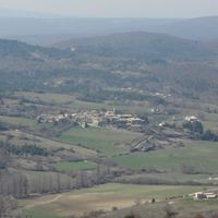
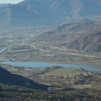
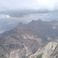
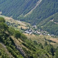
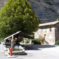
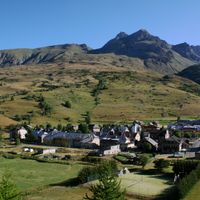
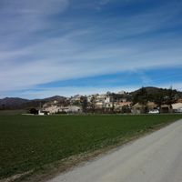
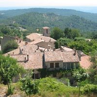
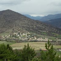
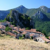
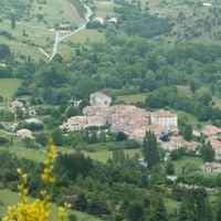
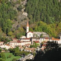
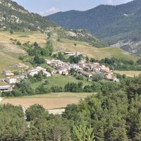
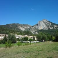
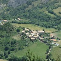
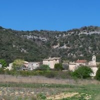
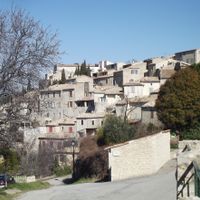
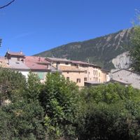
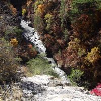
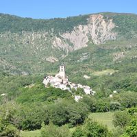
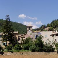
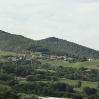
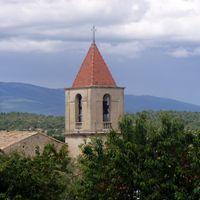
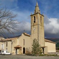
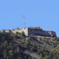
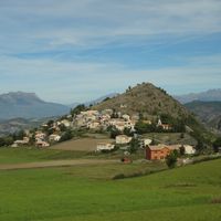
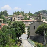
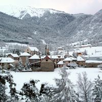
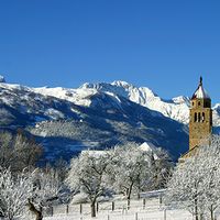
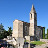
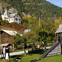
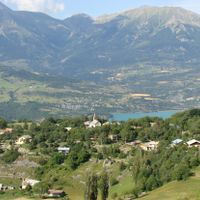
Alpes-de-Haute-Provence is an administrative district in the Provence-Alpes-Côte d'Azur region of southeastern France, stretching from Mediterranean climate zones to Alpine summits. The district includes valleys, high plateaus, and mountain ranges with rivers like the Durance and Verdon that have carved deep gorges through limestone.
The district formed during the French Revolution in 1790 under the name Basses-Alpes, named for the lower elevations south of the main Alpine ridge. Authorities changed the name to Alpes-de-Haute-Provence in April 1970 to reflect the high-elevation areas and the connection to Provence.
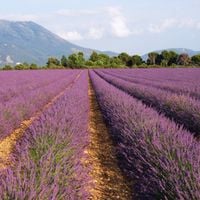
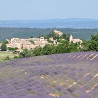
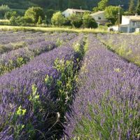
Lavender grows in large fields across the plateaus around Valensole, painting the landscape with violet rows every year between June and August. Visitors can watch the harvest and see how essential oil is extracted in small local distilleries.
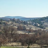
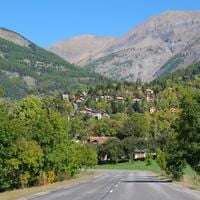
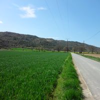
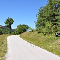
Roads alternate between narrow mountain passes and broad valleys, so travelers should allow extra time for routes crossing ridges. Fuel stations and supply options are less common in smaller mountain villages than in the larger valley towns.
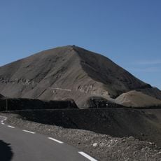
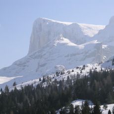
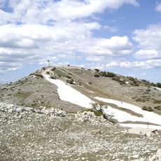
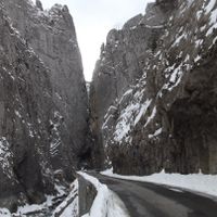
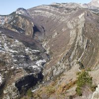
The road over the Col de la Bonnette climbs through the highest paved mountain pass in France at over 2800 m (9200 ft) in elevation, offering open views of summits and valleys. The switchbacks are only drivable between June and October, as snow blocks the route for the rest of the year.
Location: Provence-Alpes-Côte d'Azur
Inception: March 4, 1790
Capital city: Digne-les-Bains
Reference: 04
Shares border with: Hautes-Alpes, Drôme, Vaucluse, Var, Alpes-Maritimes, Piedmont, Province of Cuneo
Address: Alpes-de-Haute-Provence, France
Website: https://mondepartement04.fr
GPS coordinates: 44.09528,6.24000
Latest update: December 14, 2025 22:36
Verdon Gorge
39.1 km
Lac de Serre-Ponçon
47.7 km
Lake of Sainte-Croix
37.2 km
Verdon
35.2 km
Sentier Martel
39.7 km
Our Lady of Laus
47.9 km
Lac d'Esparron
45.9 km
Ganagobie Abbey
28.7 km
Plan de Canjuers
43.4 km
Lac d'Allos
40.4 km
Les Pénitents
21.7 km
Citadelle de Sisteron
26.4 km
Cime de la Bonette
51.8 km
Pic de Bure
63.9 km
Plateau de Bure Interferometer
65.5 km
Verdon Regional Natural Park
30 km
Abbaye Notre-Dame de Boscodon
48.3 km
Étang de la Bonde
69.5 km
Céüse
51.1 km
Montagne de Lachens
51.4 kmChâteau d'Autet
58.1 km
Haute-Provence Observatory
46 km
Pelat
41.7 km
Pont de l'Artuby
42.3 km
Château de Picomtal
52 km
Sisteron Citadel
26.3 km
Bridge of Mirabeau
64.4 km
Demoiselles Coiffées de Pontis
46.4 kmVisited this place? Tap the stars to rate it and share your experience / photos with the community! Try now! You can cancel it anytime.
arrondissement of Barcelonnette
arrondissement of Castellane
arrondissement of Digne-les-Bains
arrondissement of Forcalquier
Forcalquier
Annot
Castellane
Barcelonnette
Jausiers
Moustiers-Sainte-Marie
Salignac
Château-Arnoux-Saint-Auban
Draix
Aubignosc
Volonne
Banon
Peyruis
Montlaux
Peipin
Aiglun
Esparron-de-Verdon
Gréoux-les-Bains
Le Lauzet-Ubaye
Riez
Colmars
Valensole
Les Mées
Beaujeu
Allemagne-en-Provence
Dauphin
Vergons
Oppedette
Oraison
Verdaches
Villeneuve
Niozelles
Saint-Jurs
Limans
Sourribes
Redortiers
Roumoules
Mane
L'Hospitalet
Melve
Senez
Le Brusquet
Saint-Maime
Authon
Thorame-Basse
Entrevennes
Turriers
Villars-Colmars
Barrême
Seyne
Châteauneuf-Val-Saint-Donat
Demandolx
Hautes-Duyes
La Condamine-Châtelard
Gigors
Bras-d'Asse
Brunet
Estoublon
Le Castellard-Mélan
Barles
Archail
Châteauneuf-Miravail
Saint-André-les-Alpes
Allons
Champtercier
Braux
Le Fugeret
Céreste-en-Luberon
Bellaffaire
Angles
Beynes
Allos
Aubenas-les-Alpes
Chaudon-Norante
Castellet-lès-Sausses
Châteauredon
Bevons
Beauvezer
Clumanc
Montfort
Clamensane
Le Chaffaut-Saint-Jurson
Claret
Bayons
Le Caire
Châteaufort
Blieux
Saint-Jacques
Vachères
Saint-Paul-sur-Ubaye
Fontienne
Mison
Simiane-la-Rotonde
Lardiers
Sigoyer
La Brillanne
Noyers-sur-Jabron
La Javie
Mézel
Reillanne
Corbières-en-Provence
Saint-Étienne-les-Orgues
Saint-Geniez
Sainte-Tulle
Saint-Julien-d'Asse
Tartonne
Saint-Martin-lès-Seyne
Sausses
Villemus
Thoard
Saint-Julien-du-Verdon
Saint-Michel-l'Observatoire
Ubraye
Saint-Lions
Saint-Laurent-du-Verdon
Les Thuiles
Uvernet-Fours
Saint-Martin-de-Brômes
La Motte-du-Caire
Volx
Sainte-Croix-du-Verdon
Valernes
Soleilhas
Valavoire
Le Vernet
Saint-Martin-les-Eaux
Saint-Pierre
Saint-Jeannet
Saint-Vincent-sur-Jabron
Valbelle
Saint-Benoît
Saint-Pons
Thorame-Haute
Revest-Saint-Martin
Pierrevert
Puimichel
La Rochette
Puimoisson
Quinson
Nibles
Sainte-Croix-à-Lauze
Peyroules
Moriez
Malijai
Méailles
Marcoux
Revest-du-Bion
Revest-des-Brousses
La Rochegiron
Entrepierres
Curbans
Enchastrayes
Les Omergues
Val-de-Chalvagne
Meyronnes
Faucon-du-Caire
Larche
Mallefougasse-Augès
Mallemoisson
Montfuron
Méolans-Revel
Montagnac-Montpezat
Mirabeau
Rougon
La Palud-sur-Verdon
Prads-Haute-Bléone
Lambruisse
La Garde
Entrages
Montsalier
Majastres
Lurs
La Mure-Argens
La Bréole
Ganagobie
Barras
Curel
Le Castellet
Venterol
Pierrerue
Montclar
Saumane
Saint-Vincent-les-Forts
Piégut
Montjustin
Vaumeilh
Ongles
Sigonce
Selonnet
Faucon-de-Barcelonnette
Thèze
Auzet
Pontis
La Robine-sur-Galabre
Discover hidden gems everywhere you go!
From secret cafés to breathtaking viewpoints, skip the crowded tourist spots and find places that match your style. Our app makes it easy with voice search, smart filtering, route optimization, and insider tips from travelers worldwide. Download now for the complete mobile experience.
A unique approach to discovering new places❞
— Le Figaro
All the places worth exploring❞
— France Info
A tailor-made excursion in just a few clicks❞
— 20 Minutes