Enable Location

We need your location to show you interesting places around you

Discover nearby places

Find interesting locations and hidden gems around you

Precise directions

Get accurate directions and distances to places

Your location is never shared with other users. It's only used when you tap the location button.

Mane

Log in to your account

Start exploring — it's free

Trusted by 63,263 travelers worldwide

Continue with Google
Continue with Apple
or

We will send you a code to connect

By continuing, you accept our Terms and Conditions and our Privacy Policy

Check your inbox

We've sent a pincode in your inbox. Please enter the code below.

Discussion Reviews 1 Photos
10.5k Popularity

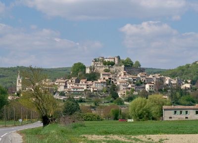
Mane, Historical commune in Alpes-de-Haute-Provence, France

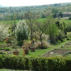
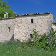
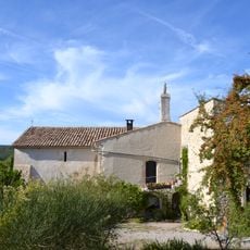
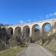
Mane is a small commune in the Alpes-de-Haute-Provence located at about 500 meters elevation between the Lure mountain and Luberon. The village sits within the Provence-Alpes-Côte d'Azur region and is surrounded by forests with a modified Mediterranean climate.

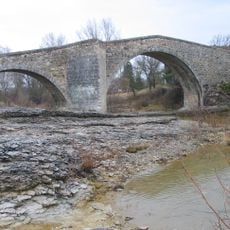
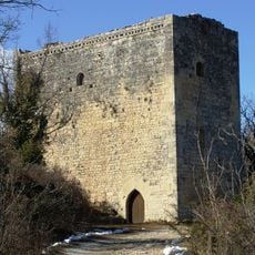
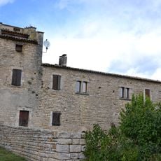
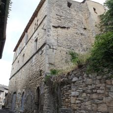
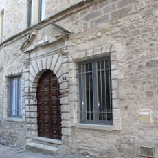
The first written record dates to 1103 when the place was known as Castel de Manoa during the era of medieval fortifications across the region. The citadel later became a key defense structure for the local area.

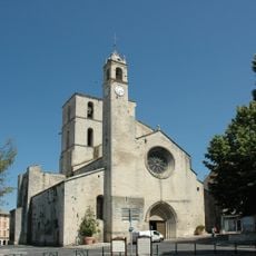
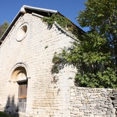
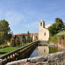
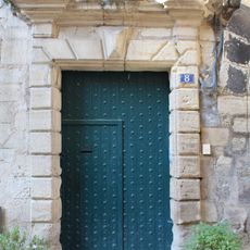
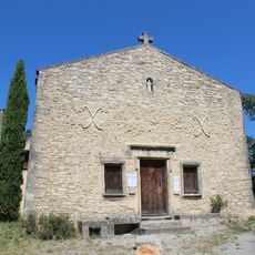
The Saint-André church shapes the village center with its baroque exterior and twin monumental doors, while the gothic choir inside creates a contrasting style.

The location sits at moderate elevation with extensive forest coverage that can make terrain uneven and provides natural shade. Visitors should wear proper footwear and bring adequate water, especially during warmer months.

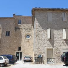
The citadel is the only fully preserved fortress in Haute-Provence with structural elements from before the 17th century. These medieval fortification features make it a valuable record of the region's early military architecture.

The community of curious travelers

AroundUs brings together thousands of curated places, local tips, and hidden gems, enriched daily by 60,000 contributors worldwide.

Start exploring
Location
Communauté de communes de Haute-Provence
Elevation above the sea
500 m
Industry
administration publique générale
Shares border with
Dauphin, Forcalquier, Limans, Revest-des-Brousses, Saint-Maime, Saint-Michel-l'Observatoire
Phone
GPS coordinates
43.93833,5.76750
Latest update
December 10, 2025 15:53
Reviews
Share your experience

No review yet

Discussions
Start a discussion...

No discussion yet

« Mane - Historical commune in Alpes-de-Haute-Provence, France » is provided by Around Us (aroundus.com). Images and texts are derived from Wikimedia project under a Creative Commons license. You are allowed to copy, distribute, and modify copies of this page, under the conditions set by the license, as long as this note is clearly visible.

Discover hidden gems everywhere you go!

From secret cafés to breathtaking viewpoints, skip the crowded tourist spots and find places that match your style. Our app makes it easy with voice search, smart filtering, route optimization, and insider tips from travelers worldwide. Download now for the complete mobile experience.

Around Us App Screenshot

A unique approach to discovering new places

Le Figaro

All the places worth exploring

France Info

A tailor-made excursion in just a few clicks

20 Minutes

Around Us
Travel Guide & Maps
Download

Send to your phone

QR Code
1

Open the camera app on your mobile.

2

Point at the QR code with your camera. A notification will appear.

3

Tap the notification to open the link.