Enable Location

We need your location to show you interesting places around you

Discover nearby places

Find interesting locations and hidden gems around you

Precise directions

Get accurate directions and distances to places

Your location is never shared with other users. It's only used when you tap the location button.

Barcelonnette

Log in to your account

Join the adventure

Create your free account and start exploring (like 60k+ others)

We will send you a code to connect

or
Continue with Google
Continue with Apple
By continuing, you accept our Terms and Conditions and our Privacy Policy

Check your inbox

We've sent a pincode in your inbox. Please enter the code below.

Barcelonnette, Alpine commune in Alpes-de-Haute-Provence, France

Description

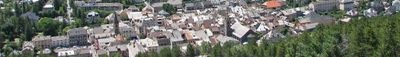
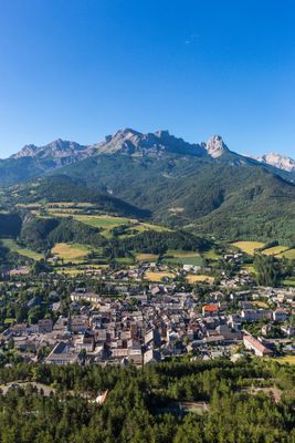
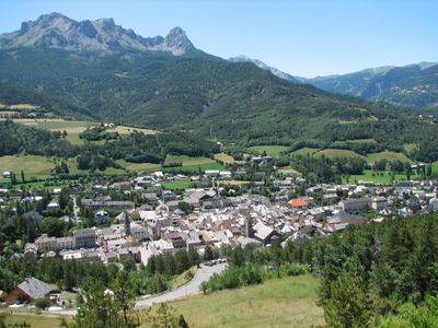
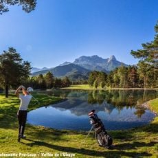
Barcelonnette is a commune in the Alpes-de-Haute-Provence department that sits at 1135 meters elevation in the Southern Alps. The town forms a small basin where several valleys meet and is framed by summits that rise above 3000 meters.

History

Count Ramon Berenguer IV of Provence founded the settlement in 1231 as a market town and granted it self-governing rights. The place took its name from Barcelona, the count's homeland, and grew into an important trading post in the mountains.

Culture

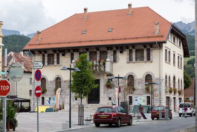
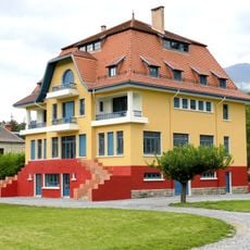
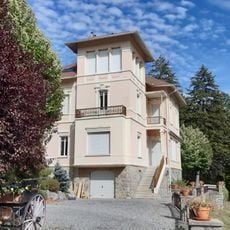
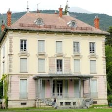
Locals call themselves Barcelonnettes, a name that echoes the town's Catalan foundation by Provençal counts. Many of the grand villas were built by merchants who emigrated to Mexico and later returned with their fortunes to beautify their homeland.

Practical

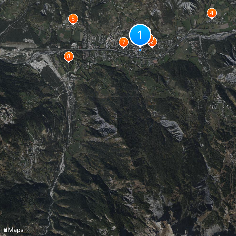
The town can be reached via the A51 highway, which offers connections to larger cities, with Marseille Provence Airport about 145 kilometers away. Gap train station is roughly an hour's drive and provides further connections.

Did you know?

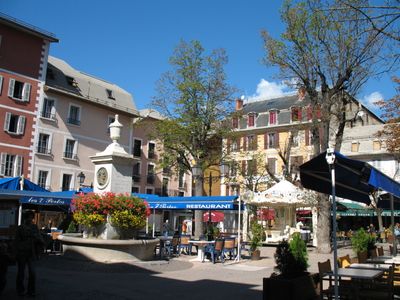
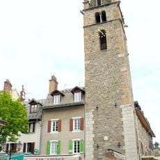
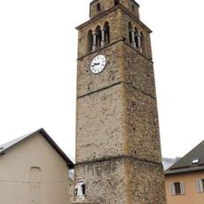
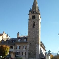
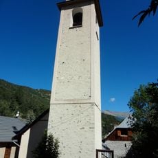
The Cardinalis Tower from the 14th century rises 40 meters high and stands in the center of Place Manuel as the town's main landmark. Its medieval construction elements reflect the former importance of the place as a fortified market settlement.

Elevation above the sea
1,419 m
Shares border with
Enchastrayes, Faucon-de-Barcelonnette, Saint-Pons, Uvernet-Fours
Address
04400 Barcelonnette, France
Phone
GPS coordinates
44.38583,6.65250
Latest update
December 13, 2025 18:35

AroundUs brings together thousands of curated places, local tips, and hidden gems, enriched daily by 60,000 contributors worldwide. Discover all places nearby (Alpes-de-Haute-Provence).

« Barcelonnette - Alpine commune in Alpes-de-Haute-Provence, France » is provided by Around Us (aroundus.com). Images and texts are derived from Wikimedia project under a Creative Commons license. You are allowed to copy, distribute, and modify copies of this page, under the conditions set by the license, as long as this note is clearly visible.

Discover hidden gems everywhere you go!

From secret cafés to breathtaking viewpoints, skip the crowded tourist spots and find places that match your style. Our app makes it easy with voice search, smart filtering, route optimization, and insider tips from travelers worldwide. Download now for the complete mobile experience.

Around Us App Screenshot

A unique approach to discovering new places

Le Figaro

All the places worth exploring

France Info

A tailor-made excursion in just a few clicks

20 Minutes

Around Us
Travel Guide & Maps
Download

Send to your phone

QR Code
1

Open the camera app on your mobile.

2

Point at the QR code with your camera. A notification will appear.

3

Tap the notification to open the link.