Pelat, Mountain summit in Mercantour National Park, France
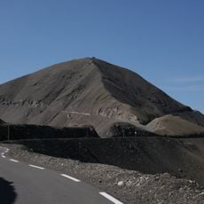
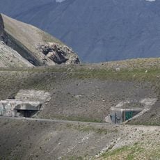
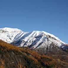
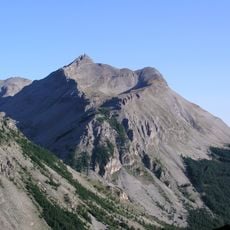
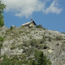
Mont Pelat is a 3,051-metre limestone summit in the Alpes-de-Haute-Provence, between the upper Verdon, upper Var and Bachelard valleys. Its upper slopes are bare grey and tan rock and scree cut by gullies and ledges, with low green vegetation on the lower flank and a band of dark conifers along the base. The mountain is built of two flysch units, a lower 200-metre sequence of pelagic and bioclastic limestones and an upper 300-metre brown sandy-schist sequence.
Mont Pelat is built from Nummulitic flysch of the "e5" series, about 500 metres thick: a lower 200-metre unit of pelagic and bioclastic limestones with small Nummulites, and an upper 300-metre brown sandstone-shale sequence. Its bare, peeled appearance gave it the name Pelat, and it is the highest point of the Côte-de-l'Âne–Mounier chain.
The name Pelat comes from the mountain's bare, peeled appearance, not from the Alpine lake of the same name in the Alpes-Maritimes. The summit lies in the central zone of the Mercantour National Park, and the normal route climbs the Combe du Pelat, reached from Lake Allos or the Col de la Cayolle.
Access depends on weather conditions and season, with summer offering the best window for climbing. Hikers should prepare for significant elevation changes and bring proper gear and navigation tools.
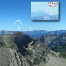
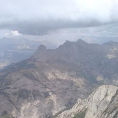
On clear days, the summit offers sweeping views that stretch from southern mountain chains to distant northern peaks. These panoramic vistas shift with light and season, revealing different layers of the alpine landscape.
The community of curious travelers
AroundUs brings together thousands of curated places, local tips, and hidden gems, enriched daily by 94,042 contributors worldwide.