Cime de Pal, Alpine summit in Mercantour National Park, France
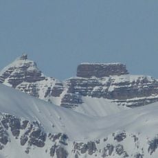
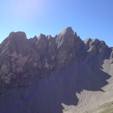
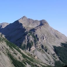
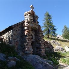
Cime de Pal is a schist summit at 2,800 metres in the commune of Saint-Étienne-de-Tinée, Alpes-Maritimes, within Mercantour National Park. It rises southeast of Pointe Côte de l'Âne and overlooks the Ardon valley. Its jagged ridge carries snowfields and grey-brown rock ribs, with two small rectangular stone structures on a lower shoulder and coniferous forest on the lower slopes.
The sources record no dated climbing history for Cime de Pal; the documented route history is the normal way itself, which starts at the Gialorgues refuge, crosses the Col de Gialorgues, reaches the Baisse de la Boulière and then climbs the north ridge to the summit. The peak lies in the commune of Saint-Étienne-de-Tinée, Alpes-Maritimes, within Mercantour National Park.
The summit lies within the Mercantour National Park, created in 1979 to protect this section of the Alpes-Maritimes. Its slopes above the Ardon valley belong to the commune of Saint-Étienne-de-Tinée, and the normal route passes the Gialorgues refuge and pass, both named after the Gialorgues valley the path follows.
The climb from Gialorgues Refuge takes roughly six hours and passes through Gialorgues Pass. Sturdy footwear and proper mountaineering gear are essential as the terrain is steep and exposed in places.
The peak is mainly composed of schist, a rock type common to this section of the French Alps. This stone shapes how the mountain looks and affects how water flows down the slopes.
The community of curious travelers
AroundUs brings together thousands of curated places, local tips, and hidden gems, enriched daily by 94,661 contributors worldwide.