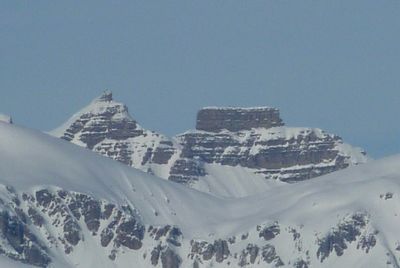
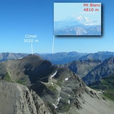
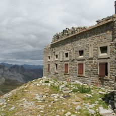
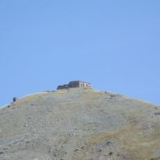
Côte de l'Âne, Mountain peak at 2916 meters in Alpes-Maritimes, France.
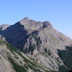
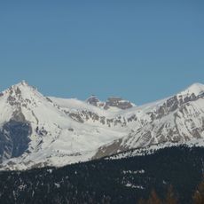
Côte de l'Âne is a mountain peak at 2916 meters in the Maritime Alps, characterized by steep rocky slopes and extensive meadows. The southern exposure creates varying conditions throughout the seasons and displays typical features of this mountain region.
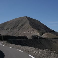
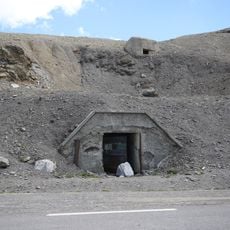
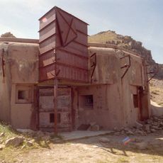
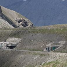
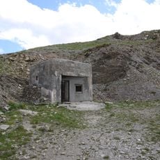
The mountain marked a natural boundary between French and Italian territories in the Maritime Alps over many centuries. This frontier role shaped the strategic importance of the region and control efforts throughout history.
Local shepherds use the high meadows here for their herds, especially during warmer months. This long-standing practice still shapes how the landscape looks and how people interact with the mountain today.
Reaching the summit requires mountaineering experience and proper equipment due to steep rocky terrain and variable conditions. June through September offer the most favorable conditions, as weather and snow coverage make other times challenging for climbers.
Meltwater from this peak feeds several important regional rivers, including the Var and Roya. These water sources matter greatly to the valleys and settlements below, showing the mountain's central role in the region's water systems.
Location: Alpes-Maritimes
Elevation above the sea: 2,916 m
GPS coordinates: 44.24500,6.80087
Latest update: December 14, 2025 20:26
Cime de la Bonette
8.5 km
Pelat
7.9 km
Ouvrage Restefond
9.5 km
Ouvrage La Moutière
7.8 km
Cimet
9.2 km
Ouvrage Col de Restefond
10.1 km
Ouvrage Granges Communes
10.7 km
Saint-Étienne-de-Tinée - Chapelle Saint-Erige
10.7 km
Fort Carra
532 m
Point d'appui de Pelousette
11.8 km
Saint-Étienne-de-Tinée - Ancien couvent des Trinitaires de Saint-Salaire
9.8 km
Église Saint-Dalmas de Saint-Dalmas-le-Selvage
6.8 km
Saint-Étienne-de-Tinée - Église des Dignitaires
10.1 km
Saint-Étienne-de-Tinée - Chapelle Saint-Sébastien
10.2 km
Batterie de la Tête de Vinaigre
9.4 km
Chapelle Sainte-Marguerite de Saint-Dalmas-le-Selvage
6.7 km
Roche Grande
3.8 km
Cime de Pal
4.9 km
Saint-Étienne-de-Tinée - Chapelle Saint-Maur
10.8 km
Chapelle Saint-Sébastien
7.5 km
Église Notre-Dame-de-la-Nativité
7.6 km
Chapelle Notre-Dame-des-Monts du lac d'Allos
7.6 km
Saint-Étienne-de-Tinée - Maison de Sébastien Fabri
10 km
Chapelle Saint-Guilhem de Saint-Martin-d'Entraunes
11.8 km
Saint-Étienne-de-Tinée - Oratoire du Pilon
10.9 km
Chapelle Saint-Michel
10.1 km
Église Saint-Pierre de Bousiéyas
9.8 km
Chapelle Notre-Dame-du-Rosaire d'Entraunes
7.6 kmVisited this place? Tap the stars to rate it and share your experience / photos with the community! Try now! You can cancel it anytime.
Discover hidden gems everywhere you go!
From secret cafés to breathtaking viewpoints, skip the crowded tourist spots and find places that match your style. Our app makes it easy with voice search, smart filtering, route optimization, and insider tips from travelers worldwide. Download now for the complete mobile experience.
A unique approach to discovering new places❞
— Le Figaro
All the places worth exploring❞
— France Info
A tailor-made excursion in just a few clicks❞
— 20 Minutes