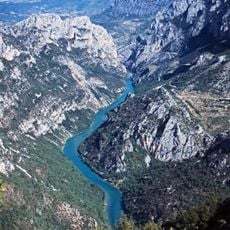
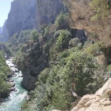
Sentier Martel, Hiking trail in La Palud-sur-Verdon, France.
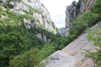
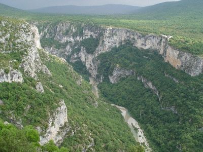
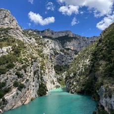
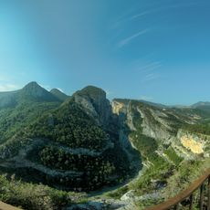
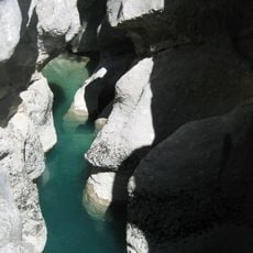
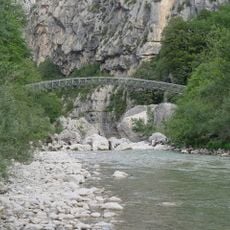
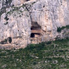
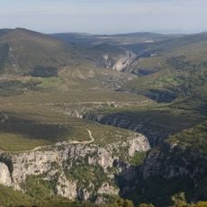
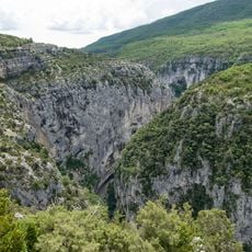
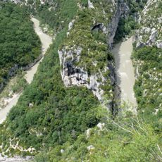
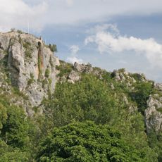
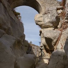
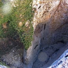
Sentier Martel is a hiking route that winds for around 14 kilometers through the Verdon Gorge, passing limestone cliffs, tight passages, and a turquoise river flowing below. The trail combines natural features with constructed elements such as stairs and tunnels that enable passage through the gorge.
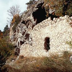
The route originated in the early 1900s when a geologist and his companion first explored the gorge systematically. A tunnel along this path was part of a hydroelectric scheme from that era that was eventually abandoned.
The path is named after a geologist who explored the gorge, reflecting how people sought to understand and move through this wild landscape. Along the way, visitors encounter remnants of past attempts to harness the gorge's potential.
The route is demanding and takes about 5 to 6 hours, requiring proper footwear, a flashlight for dark tunnel sections, and at least 2 liters of water per person. Starting early in the day is wise, and be prepared for slippery surfaces, especially after recent rain.
A highlight of the route is a particularly narrow passage equipped with metal stair steps that guide hikers vertically through limestone rock. This stair structure was rebuilt in the early 2010s to ensure safe passage.
The community of curious travelers
AroundUs brings together thousands of curated places, local tips, and hidden gems, enriched daily by 60,000 contributors worldwide.