Canyon de l'Artuby, Canyon in Provence-Alpes-Côte d'Azur, France
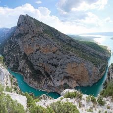
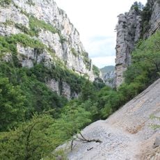
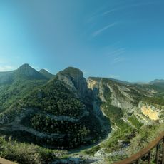
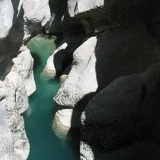
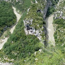
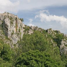
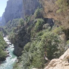
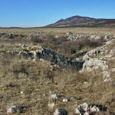
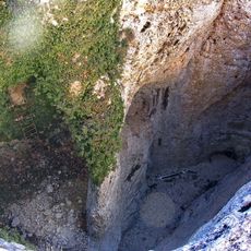
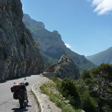
The Canyon de l'Artuby is a 10 km gorge about 150 m wide and 150 m deep, cut by the Artuby into limestone east of the Petit Plan de Canjuers, between the Estelle and Chastillon hills. Pale grey and tan rock rises in broken tiers above a shadowed bed, with dark green vegetation on the upper slopes. Only the Pont de Chaulière crosses it, near its lower end.
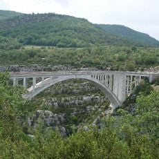
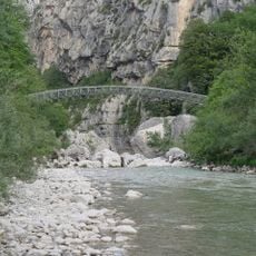
The Artuby cut its gorge through the limestone east of the Petit Plan de Canjuers, below the Estelle and Chastillon hills. The only crossing is the Pont de Chaulière in the downstream section; just upstream of it begins the stretch enclosed within the Camp de Canjuers military area, and just downstream lies the confluence of the Artuby and the Verdon.
The canyon lies between Comps-sur-Artuby and Trigance, two villages that serve as the usual starting points for reaching it. The Pont de Chaulière, the only bridge over the gorge, carries the road across its lower section; just upstream the river enters the Canjuers military camp, and just downstream it joins the Verdon.
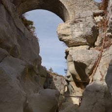
No road or trail runs through the gorge; only the Pont de Chaulière crosses it, in the downstream section. Upstream of that bridge the canyon lies inside the Camp de Canjuers military area, and just downstream is the confluence of the Artuby and the Verdon. The canyon is 10 km long, about 150 m wide and 150 m deep, so it is viewed from the bridge and the surrounding rims rather than walked.
Only the Pont de Chaulière crosses the canyon, in its downstream section; just upstream of that bridge the gorge enters the Canjuers military camp, and just downstream lies the confluence of the Artuby and the Verdon, in the heart of the Verdon gorges.
The community of curious travelers
AroundUs brings together thousands of curated places, local tips, and hidden gems, enriched daily by 93,914 contributors worldwide.