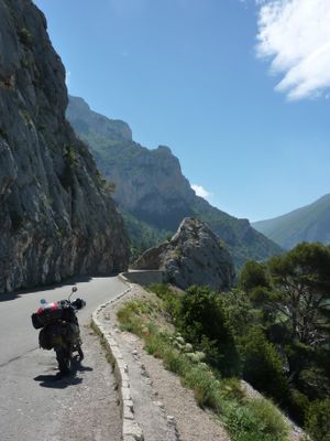
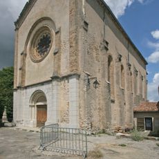
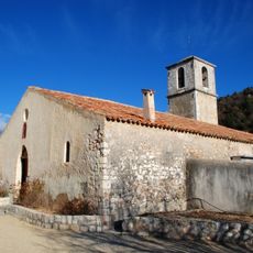
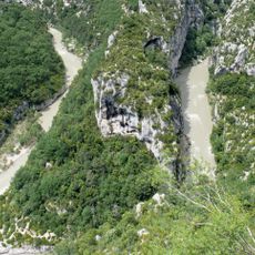
Route des Crêtes, Mountain road circuit in La Palud-sur-Verdon, France.
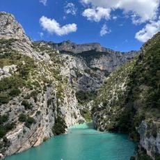
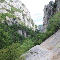
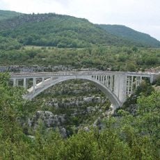
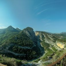
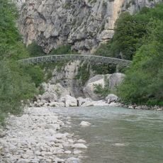
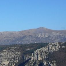
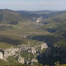
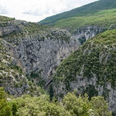
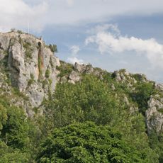
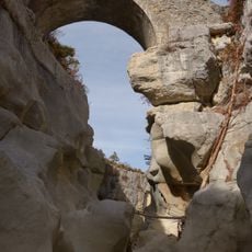
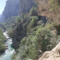
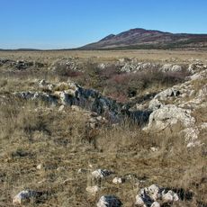
Route des Crêtes is a scenic drive that follows the ridgelines of Verdon Gorge, offering multiple viewpoints overlooking limestone cliffs and deep canyons. The road has designated stopping points and observation areas set up at regular intervals along the circuit.
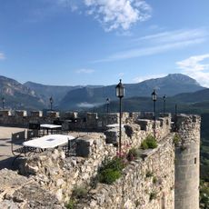
The road was built in the early 20th century by connecting traditional shepherd paths that locals had used for centuries to cross the canyon edges. This project made the remote gorge accessible to visitors while honoring established travel routes through the region.
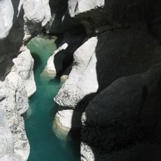
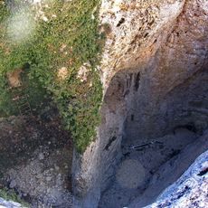
The route draws climbers and outdoor enthusiasts from around the world who come to challenge the steep limestone walls. The area has become a hub for people seeking adventure in one of France's most dramatic gorges.
The drive is best undertaken between spring and autumn when weather is stable and all sections are accessible. Plan to travel slowly with adequate stops at viewpoints to fully appreciate the views and avoid rushing through the route.
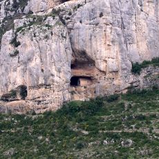
From several observation points, visitors can watch vultures nesting in the cliff faces and soaring on thermal winds above the gorge. These birds have made a remarkable comeback in the region after nearly disappearing decades ago.
The community of curious travelers
AroundUs brings together thousands of curated places, local tips, and hidden gems, enriched daily by 60,000 contributors worldwide.