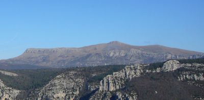
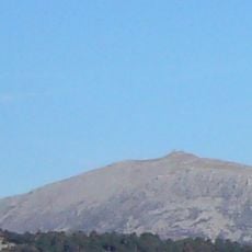
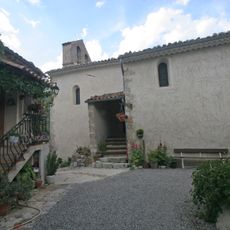
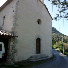
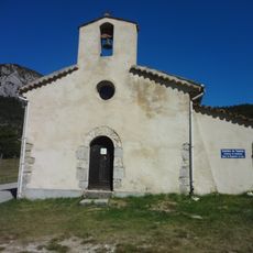
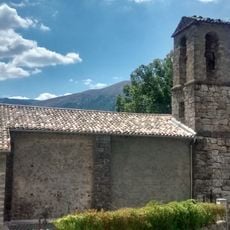
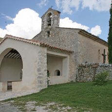
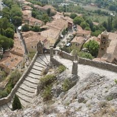
Mourre de Chanier, Mountain summit in Provence-Alpes-Côte d'Azur, France.
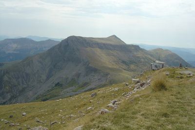
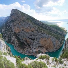
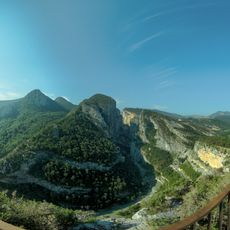
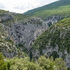
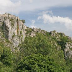
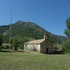
The Mourre de Chanier is a mountain massif in the Alpes-de-Haute-Provence featuring three distinct peaks linked by a plateau called Grande Plaine. The highest point reaches around 1,930 meters (6,330 feet) and offers varied views across the surrounding regions from different positions.
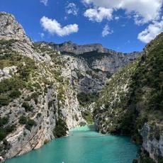
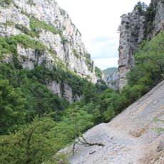
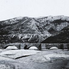
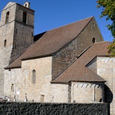
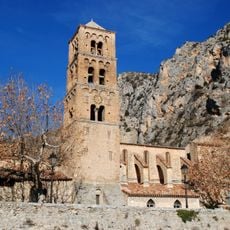
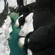
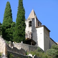
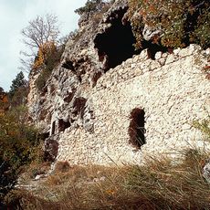
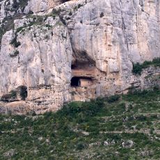
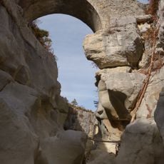
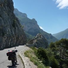
The massif is made of limestone and formed during the Alps' creation about 5 million years ago. This geological shift created the mountain structures visible in this region today.
The name Mourre comes from the Provençal language and means snout, a local term used to describe mountains with rounded peaks. This word reflects how local people have named the landscape for generations.
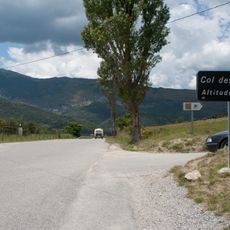
The summit is reached via marked trails graded T2, which suit hikers with some experience and require moderate fitness. Visitors should bring proper equipment, water, and weather protection as conditions can change quickly at elevation.
The area sits within the Natura 2000 protected site Gorges de Trévans-Montdenier, spanning over 8,800 hectares (21,800 acres). This designation underscores the geological and ecological importance of the landscape in this region.
Location: Alpes-de-Haute-Provence
Elevation above the sea: 1,930 m
GPS coordinates: 43.84174,6.35101
Latest update: December 14, 2025 16:45
Verdon Gorge
10.4 km
Sentier Martel
10.6 km
Verdon Regional Natural Park
10.2 km
Point Sublime
6.8 km
Pont d'Aiguines
11 km
Mont Chiran
4 km
Couloir Samson
6.8 km
Senez Cathedral
9.1 km
Église Notre-Dame-de-l'Assomption de Moustiers-Sainte-Marie
10.4 km
Styx du Verdon
10.1 km
Chapelle Notre-Dame de Beauvoir
10.2 km
Col des Lèques
9.4 km
Grottes de Saint-Maurin
8.5 km
Château de la Palud-sur-Verdon
7 km
Chapelle Notre-Dame de la Baume
3 km
Réserve naturelle régionale de Saint-Maurin
8.6 km
Église Notre-Dame de Vauvert
6.9 km
Fontaine de Senez
9.2 km
Château de Rougon
6.4 km
Pont de Sautet
10.6 km
Église Notre-Dame-de-la-Roche-et-Saint-Romain de Rougon
6.3 km
Église Notre-Dame-de-la-Roche de Majastres
9.4 km
Église Saint-Pierre de Taulanne
8.5 km
Église Saint-Symphorien
3.8 km
Chapelle Saint-Christophe de Rougon
6 km
Cippe en pierre
10.3 km
Chapelle Sainte-Élisabeth-du-Portugal de La Melle
7.8 km
Route des Crêtes
10.5 kmVisited this place? Tap the stars to rate it and share your experience / photos with the community! Try now! You can cancel it anytime.
Discover hidden gems everywhere you go!
From secret cafés to breathtaking viewpoints, skip the crowded tourist spots and find places that match your style. Our app makes it easy with voice search, smart filtering, route optimization, and insider tips from travelers worldwide. Download now for the complete mobile experience.
A unique approach to discovering new places❞
— Le Figaro
All the places worth exploring❞
— France Info
A tailor-made excursion in just a few clicks❞
— 20 Minutes