Enable Location

We need your location to show you interesting places around you

Discover nearby places

Find interesting locations and hidden gems around you

Precise directions

Get accurate directions and distances to places

Your location is never shared with other users. It's only used when you tap the location button.

Plan de Canjuers

Log in to your account

Start exploring — it's free

Trusted by 62,938 travelers worldwide

Continue with Google
Continue with Apple
or

We will send you a code to connect

By continuing, you accept our Terms and Conditions and our Privacy Policy

Check your inbox

We've sent a pincode in your inbox. Please enter the code below.

Discussion Reviews 2 Photos
11.1k Popularity

Plan de Canjuers, Limestone plateau in Var department, France

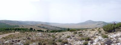
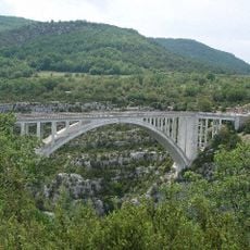
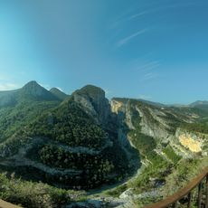
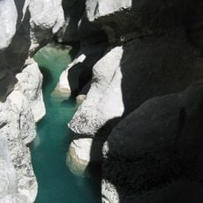
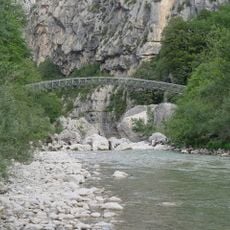
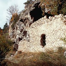
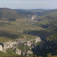
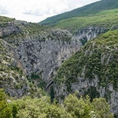
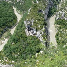
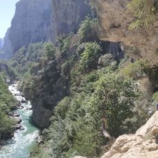
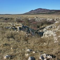
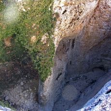
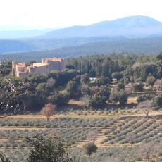
Plan de Canjuers is an expansive limestone plateau that rises to about 900 meters elevation in the Provence-Alpes-Côte d'Azur region, covering over 34,000 hectares of sparse terrain. The barren landscape is shaped by karst formations with steep drops and wide open vistas across rocky ground.

The name Canjuers comes from Campus Julii, referring to the route Julius Caesar traveled through this limestone territory during his conquest of Gaul. Since 1971, it has functioned as Europe's largest artillery training ground, transforming it into a heavily restricted military zone.

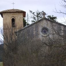
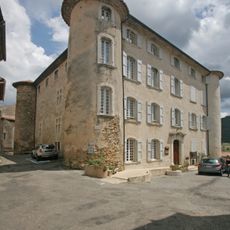
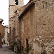
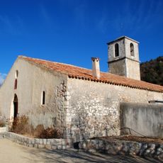
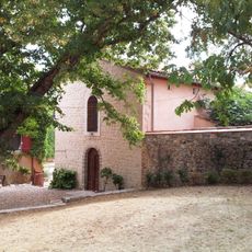
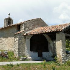
The plateau holds ruins of abandoned villages like Saint-Bayon and Chardan that remind visitors of the rural life that once thrived here. These empty settlements tell the story of families who farmed this limestone terrain for generations.

Most of this plateau is closed to the public because it has served as a military training zone for decades. Occasionally, guided tours of specific sections are available through special permission from military authorities.

This plateau holds Jurassic and Cretaceous fossils embedded in its limestone formations, bearing witness to ancient ocean conditions. Despite military use, these geological treasures make it a place of scientific interest.

The community of curious travelers

AroundUs brings together thousands of curated places, local tips, and hidden gems, enriched daily by 60,000 contributors worldwide.

Start exploring
Location
Elevation above the sea
900 m
Part of
Camp de Canjuers
GPS coordinates
43.70833,6.30833
Latest update
December 8, 2025 13:42
Reviews
Share your experience

No review yet

Discussions
Start a discussion...

No discussion yet

« Plan de Canjuers - Limestone plateau in Var department, France » is provided by Around Us (aroundus.com). Images and texts are derived from Wikimedia project under a Creative Commons license. You are allowed to copy, distribute, and modify copies of this page, under the conditions set by the license, as long as this note is clearly visible.

Discover hidden gems everywhere you go!

From secret cafés to breathtaking viewpoints, skip the crowded tourist spots and find places that match your style. Our app makes it easy with voice search, smart filtering, route optimization, and insider tips from travelers worldwide. Download now for the complete mobile experience.

Around Us App Screenshot

A unique approach to discovering new places

Le Figaro

All the places worth exploring

France Info

A tailor-made excursion in just a few clicks

20 Minutes

Around Us
Travel Guide & Maps
Download

Send to your phone

QR Code
1

Open the camera app on your mobile.

2

Point at the QR code with your camera. A notification will appear.

3

Tap the notification to open the link.