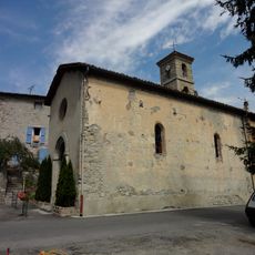
La Javie, Commune in Alpes-de-Haute-Provence, France
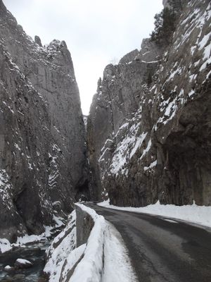
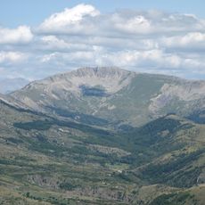
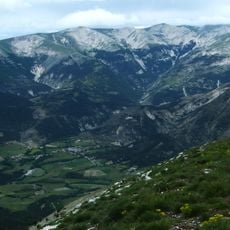
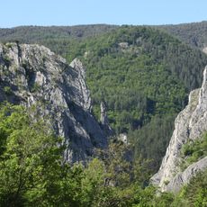
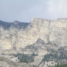
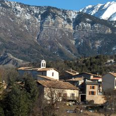
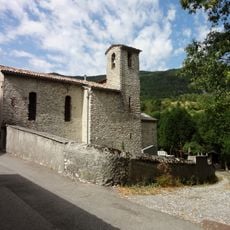
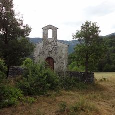
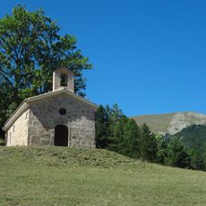
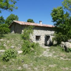
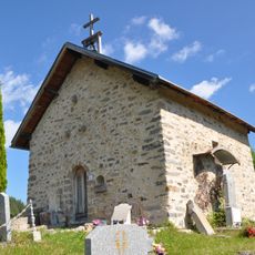
La Javie is a small commune in the French Alps located along the Bléone River valley in southeastern France. The settlement sits across varied elevations creating different environments within its territory.
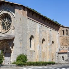
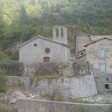
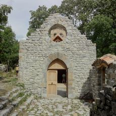
The village developed like many rural communities in the French Alps through long settlement of the region. In 1973 its administrative structure changed when it united with the neighboring territory of Esclangon.
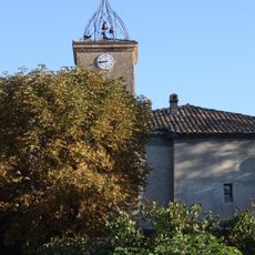
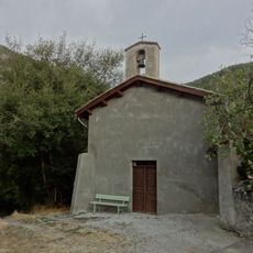
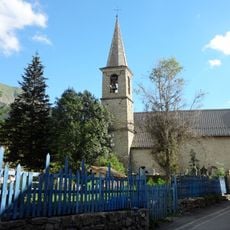
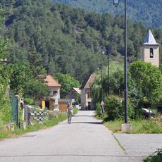
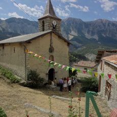
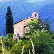
The name comes from a local family and the village remains a quiet settlement reflecting life in the French highlands. Visitors can sense how the community connects with its mountain surroundings through the way the place is built into the landscape.
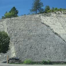
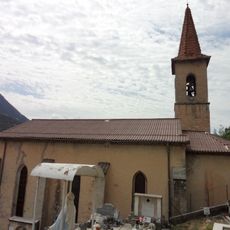
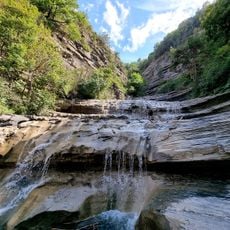
The location is accessible from the nearby city of Digne-les-Bains which has larger services and facilities. Visitors should expect mountainous terrain and understand the place is quite small with minimal activity.
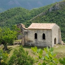
The area has a surprisingly large elevation range from about 750 to over 2,000 meters, meaning different climate and plant zones exist side by side in a relatively small space. This variation creates an unexpected ecological mix that visitors might not anticipate in this region.
Location: canton of La Javie
Location: Alpes-de-Haute-Provence
Location: Communauté de communes de Haute-Bléone
Location: arrondissement of Digne-les-Bains
Elevation above the sea: 1,100 m
Shares border with: Barles, Beaujeu, Le Brusquet, Draix, Prads-Haute-Bléone, La Robine-sur-Galabre, Verdaches
Phone: +33492349176
Email: mairie.javie@orange.fr
GPS coordinates: 44.17444,6.35139
Latest update: December 11, 2025 11:07
Ammonite slab
11.2 km
Les Monges
15.9 km
Notre-Dame du Bourg
12.2 km
Cheval-Blanc mountain
7.8 km
Clue de Barles
10.1 km
Musée de la réserve géologique de Haute-Provence
12.4 km
Blayeul
8.7 km
Crête de Géruen
14.9 km
Église Saint-Étienne de Marcoux
7.9 km
Usine à plâtre de Champourcin
11.6 km
Église Saint-Pons de Draix
4.5 km
Église Notre-Dame-de-l’Assomption de Beaujeu
3.6 km
Église Notre-Dame de Blégiers
5.4 km
Église Saint-Étienne de Mariaud
10.6 km
Chapelle Sainte-Colombe de Chaudol
1.2 km
Église Sainte-Anne de Prads
8.8 km
Église Sainte-Marthe du Vernet
11.6 km
Église Saint-Jean-Baptiste de Verdaches
10.1 km
Église Saint-Laurent de Chavailles
8.9 km
Chapelle Saint-Pons de La Robine-sur-Galabre
11 km
Église Saint-Jean-Baptiste de Chanolles
6 km
Chapelle Saint Vincent
11.8 km
Crypt of Cathédrale Notre-Dame-du-Bourg de Digne
12.2 km
Église Notre-Dame de Beauvezer de Champourçin
3.2 km
Chapelle Sainte-Anne du Labouret
7 km
Refuge d'art: Vieil Esclangon
6.8 km
L'escalier du géant
4.7 km
Chapelle Saint-Domnin de Verdaches
10.4 kmVisited this place? Tap the stars to rate it and share your experience / photos with the community! Try now! You can cancel it anytime.
Discover hidden gems everywhere you go!
From secret cafés to breathtaking viewpoints, skip the crowded tourist spots and find places that match your style. Our app makes it easy with voice search, smart filtering, route optimization, and insider tips from travelers worldwide. Download now for the complete mobile experience.
A unique approach to discovering new places❞
— Le Figaro
All the places worth exploring❞
— France Info
A tailor-made excursion in just a few clicks❞
— 20 Minutes