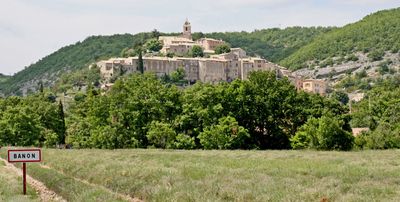
Banon, Mountain commune in Alpes-de-Haute-Provence, France
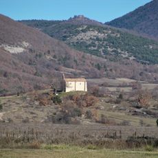
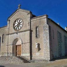
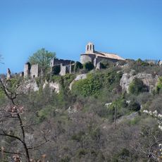
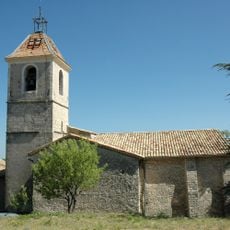
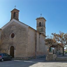
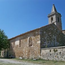
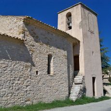
Banon is a commune in Alpes-de-Haute-Provence located at about 760 meters elevation on a mountainside. The village overlooks the Coulon valley, nestled between Mont Lure and Mont Ventoux.
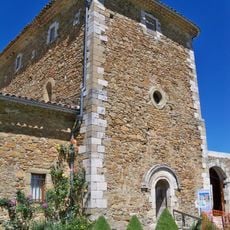
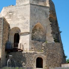
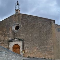
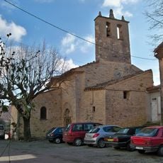
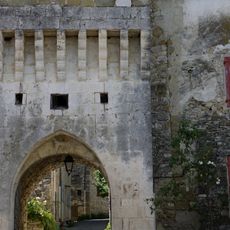
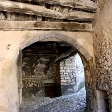
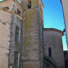
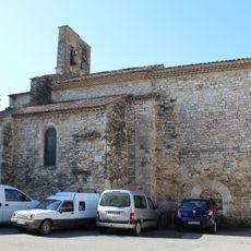
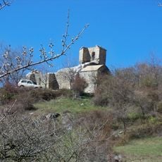
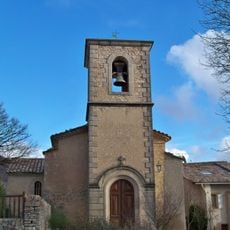
The village received fortifications in the 11th century and appears in early written records as castrum Banonni from that period. The medieval structure continues to shape its appearance today.
Banon is known for its goat cheese wrapped in chestnut leaves, a tradition deeply rooted in the area's farming and food culture. Visitors can see how this product shapes the identity of the village and its connection to the surrounding landscape.
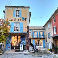
The place is best explored on foot, as it sits on a hillside with narrow lanes winding through the village. Parking is available at the village edges, from where you can walk through the medieval streets.
Banon cheese carries AOC certification defined by traditional production methods and its distinctive wrapping in chestnut leaves. This protected designation makes the product a symbol of the region's mountain farming heritage.
Location: Alpes-de-Haute-Provence
Location: canton of Banon
Location: arrondissement of Forcalquier
Elevation above the sea: 760 m
Industry: administration publique générale
Shares border with: Lardiers, Montsalier, Redortiers, Revest-des-Brousses, La Rochegiron, Saumane, Simiane-la-Rotonde, Vachères, Ongles
Phone: +33492732008
Email: mairiebanon-ahp@orange.fr
Website: http://village-banon.fr
GPS coordinates: 44.03806,5.62806
Latest update: December 7, 2025 19:24
Abbey of Valsaintes
9.4 km
Le Bleuet
124 m
Château de Simiane-la-Rotonde
8.3 km
Chastelard de Lardiers
5.9 km
Aven du Caladaïre
2.1 km
Ferme des Graves
6.3 km
Église Saint Pierre de Simiane-la-Rotonde
8.2 km
Aven de la Pépette
4.5 km
Église Sainte-Anne de Lardiers
7 km
Remparts de Revest-des-Brousses
8.1 km
Abîme de Coutelle
5.6 km
Portail féodal de Banon
67 m
Jardin de l'abbaye de Valsaintes
9.4 km
Église Saint-Marc d'Ongles
8.6 km
Église Saint-Georges de Limans
10.1 km
Église Saint Just de Banon
147 m
Église Saint-Jean de Vière
6.9 km
Église Saint-Pierre-ès-Liens du Haut-Montsalier
1.9 km
Église Saint-Jean-Baptiste de L'Hospitalet
7.9 km
Église Haute de Banon
129 m
Église Saint-Pierre-ès-Liens de Saumane
7.7 km
Église Notre-Dame du Plan de Montsalier
3.2 km
Église Notre Dame
7.2 km
Église du Saint-Nom-de-Jésus du Jonquet
5.6 km
Chapelle Saint-Claude de Lardiers
7.3 km
Aven de la Moutte
6.4 km
Chapelle Notre-Dame des Anges
2.4 km
Chapelle Saint-Marc de Banon
4.7 kmVisited this place? Tap the stars to rate it and share your experience / photos with the community! Try now! You can cancel it anytime.
Discover hidden gems everywhere you go!
From secret cafés to breathtaking viewpoints, skip the crowded tourist spots and find places that match your style. Our app makes it easy with voice search, smart filtering, route optimization, and insider tips from travelers worldwide. Download now for the complete mobile experience.
A unique approach to discovering new places❞
— Le Figaro
All the places worth exploring❞
— France Info
A tailor-made excursion in just a few clicks❞
— 20 Minutes