Montfuron, Medieval village in Alpes-de-Haute-Provence, France
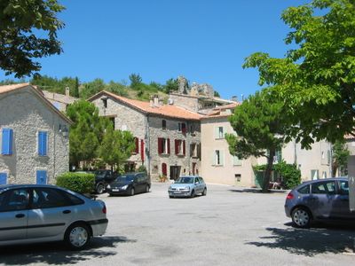
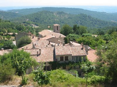
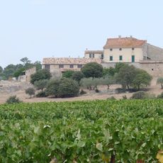
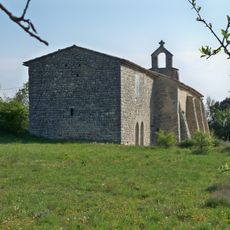
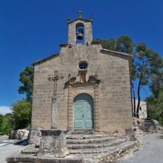
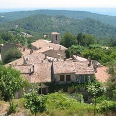
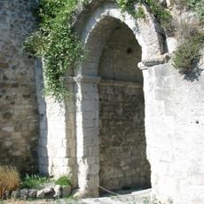
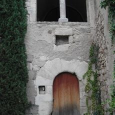
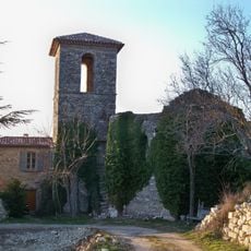
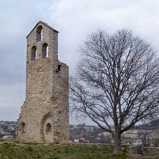
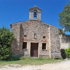
Montfuron is a village at 545 meters elevation in the Alpes-de-Haute-Provence with stone buildings arranged in concentric circles around the hilltop. The houses form natural rows along the slope and create a cohesive structure that follows the terrain.
The name comes from Monsfurnorum, referring to gypsum ovens that operated during Roman occupation of southeastern France. This Roman industrial activity shaped the place's economic development for centuries.
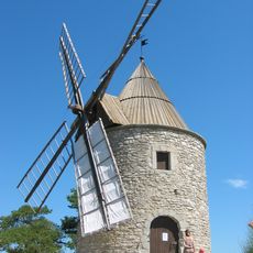
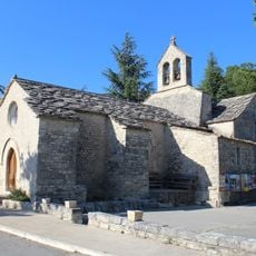
The central square features a restored windmill that reflects traditional Provençal building methods and shows how farming shaped the region. Residents still gather here for local events and community activities.
A central parking area and orientation table help visitors find their way and explore the village easily. Proximity to hiking trails and facilities like a public library and local bar make it a practical base for activities in the region.
The surrounding hills contain fossilized shells and marine remains from prehistoric times when this region was underwater. Curious visitors can spot these traces while walking and gain insights into the area's geological history.
Location: canton of Manosque-Sud-Ouest
Location: Alpes-de-Haute-Provence
Location: arrondissement of Forcalquier
Elevation above the sea: 545 m
Shares border with: Manosque, Montjustin, Pierrevert, Villemus, La Bastide-des-Jourdans
Address: Place de la Mairie, 04110 Montfuron
Phone: +33492764165
Email: mairiemontfuron@wanadoo.fr
Website: https://montfuron.dlva.fr
GPS coordinates: 43.83583,5.69389
Latest update: December 11, 2025 11:08
Moulin de Montfuron
267 m
Chapelle Saint-Pancrace
6.1 km
Couvent de la Présentation
7.1 km
Hôtel de Ville
7.1 km
Porte de Soubeyran
7.1 km
Église Saint-Pierre de Pierrevert
5.1 km
Église Notre-Dame-de-l'Assomption
5.5 km
Chapelle St Patrice
6.1 km
Église Saint-Martin de Saint-Martin-les-Eaux
5.4 km
Chapelle Saint-Elzéar de Montfuron
323 m
Château Sainte-Marguerite de Pierrevert
3.7 km
Église Sainte-Marie-Madeleine de Lincel
6.1 kmÉglise Saint Etienne
2.6 km
Porte Saint-Joseph
5.2 km
Moulin Délestic
5.7 km
Chapelle Notre Dame
4.6 km
Chapel of the Consolation of Mary of La Bastide des Jourdans
7.4 km
Église Notre-Dame-et-Saint-Elzéar
54 m
Hôtel Isaac-Bourdin
7.1 km
Porte Saint-Pierre
5.7 km
Synagogue de Reillanne
5.4 km
Golf du Luberon
4.7 km
Église de La Bastide-des-Jourdans
7.6 km
Église Notre-Dame-des-Neiges de Montjustin
5 km
Église Saint-Pierre de Reillanne
5.4 km
Chapelle Saint Marc de La Bastide-des-Jourdans
7 km
Ancienne chapelle de Reillanne
5.4 km
Église Saint Denis de Reillanne
5.4 kmVisited this place? Tap the stars to rate it and share your experience / photos with the community! Try now! You can cancel it anytime.
Discover hidden gems everywhere you go!
From secret cafés to breathtaking viewpoints, skip the crowded tourist spots and find places that match your style. Our app makes it easy with voice search, smart filtering, route optimization, and insider tips from travelers worldwide. Download now for the complete mobile experience.
A unique approach to discovering new places❞
— Le Figaro
All the places worth exploring❞
— France Info
A tailor-made excursion in just a few clicks❞
— 20 Minutes